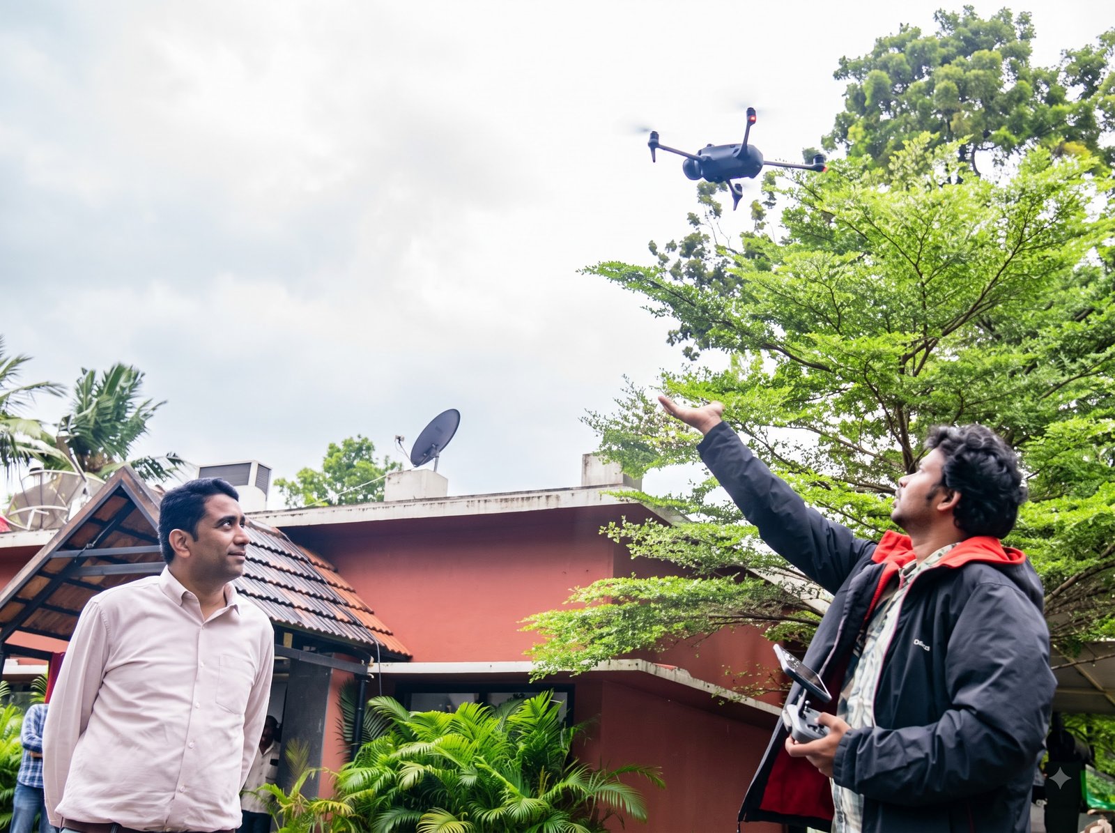
Capture a detailed view of your site with drone mapping services designed to support planning, engineering, asset documentation and project monitoring.
Drone Mapping Services use aerial data to create detailed spatial information for site planning, terrain analysis and infrastructure projects. The right mapping approach depends on site conditions, required detail and intended data use.
Photogrammetry Mapping
Use overlapping aerial photographs to generate maps and 3D outputs.
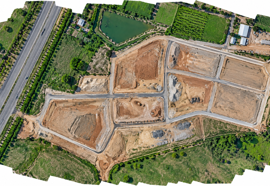
Orthomosaic Mapping
Combine aerial images into a corrected, map-like view of the whole site.
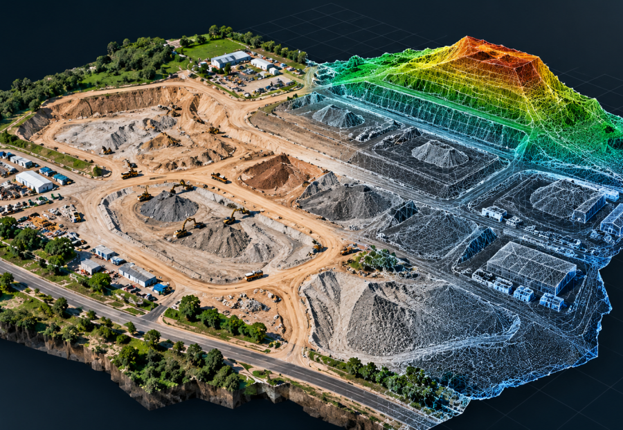
3D Mapping & Modelling
Represent buildings, terrain or sites in three dimensions.
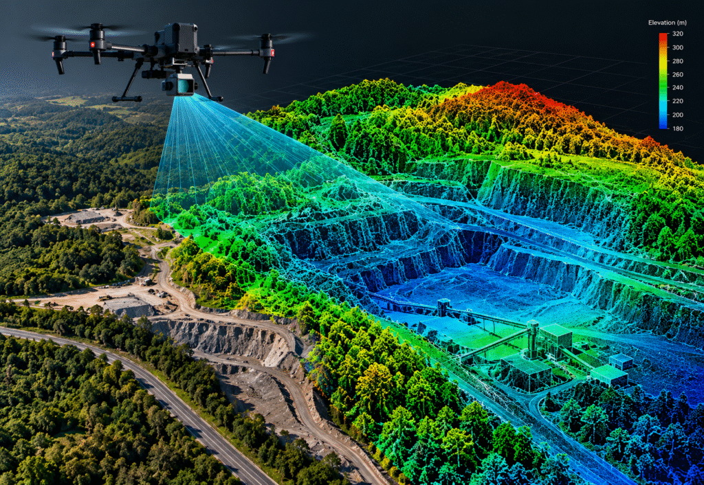
LiDAR Mapping
Capture point-cloud data for suitable terrain and complex environments.
GIS & Geospatial Data
Prepare spatial outputs for mapping and asset-information workflows.
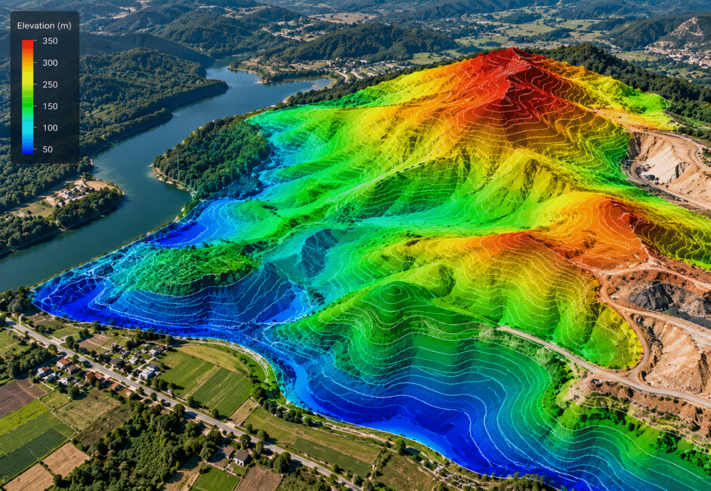
Terrain & Elevation Mapping
Show surface shape and elevation for site analysis and planning.
APPLICATIONS
Industries We Serve
Drone mapping can support teams that need a current visual record or spatial information about a site. The method and outputs are confirmed during project scoping.
Construction
Site basemaps, progress records and project visualization.
Mining
Site mapping, stockpile areas and surface-change records.
Infrastructure
Roads, railways, canals and project corridors.
Land Development
Aerial basemaps and terrain visualization for planning.
Government & Municipalities
Site mapping and geospatial documentation.
Utilities & Energy
Spatial records for sites and corridors.
Project Applications & Case Studies
Examples of how this service may be applied to real project needs.
DOCUMENTED DEPLOYMENT
Cyclone Damage Assessment
Following cyclone impacts in Andhra Pradesh, Dronevex conducted aerial assessment missions to capture imagery of structural damage, blockages, flooding and vulnerable areas. The resulting aerial information helped officials prioritise relief operations and identify areas requiring intervention.
* These documented deployments are based on Dronevex project summaries. Project details are shared subject to approval.
PROJECT OUTPUTS
What You Can Receive
Deliverables are agreed before work begins and depend on the selected method, equipment, site conditions, processing and intended use.
Orthomosaic maps
Corrected aerial image mosaics, as scoped
GIS-ready datasets
Formats and attributes agreed during scoping
Terrain & elevation models
Surface representation and elevation outputs
Point clouds
When supported by the selected capture method
3D site models
Three-dimensional visual representations
Aerial imagery
Supporting images for project documentation
OUR PROCESS
How Drone Mapping Works
A structured workflow helps align the mission with your project requirements and the outputs you need.
STEP 01
Share Requirements
Provide the site location, approximate area, project objective and intended use of the mapped data.
STEP 02
Plan the Mission
Confirm mapping method, coverage, site conditions, required detail and any applicable permissions.
STEP 03
Capture Aerial Data
Conduct the agreed flight and collect imagery or sensor data appropriate to the selected method.
STEP 04
Process & Review
Process the captured data into the agreed mapping products and check outputs against the scoped requirements.
STEP 05
Deliver Outputs
Provide the agreed maps, models or datasets in the formats confirmed during project scoping.
Help Us Understand Your Mapping Project
A few details can help the team assess the most suitable mapping approach and define a practical scope.
Project Location & Area
Share the site location and approximate area to be mapped.
Mapping Objective
Explain the purpose of the mapping and how the data will be used.
Required Outputs & Formats
Specify the required outputs, file formats and software compatibility.
Timeline
Share your preferred schedule and whether repeat mapping is needed.
Site Conditions & Permissions
Mention any known site access, operating or permission constraints.
Related Drone Services
Other drone services may complement inspection depending on your project objectives.
Document sites and activities through scoped aerial observation.
Frequently Asked Questions
What is drone mapping used for?
Drone mapping can create aerial map products and spatial data for uses such as site planning, project documentation, terrain visualisation and asset records. Suitability depends on the project requirements.
What is the difference between drone mapping and drone surveying?
Mapping commonly focuses on creating visual or spatial map products. Surveying may include defined measurement, control and accuracy requirements. The right service depends on the intended use and specifications for the project.
Can drone mapping produce 3D models?
Yes, suitable capture methods and processing workflows can produce 3D representations. The available output depends on the site, sensor, capture plan and required level of detail.
Which deliverables will I receive?
Possible outputs include orthomosaic maps, 3D models, point clouds, terrain or elevation models and GIS-ready datasets. The final deliverables and file formats should be agreed before the mission.
Plan Your Drone Mapping Project
Tell us what area you need mapped, what you want to understand and how you plan to use the resulting data.