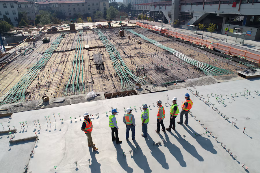
Capture aerial data to support land development, construction, infrastructure and mining projects with survey outputs planned around your site and project requirements.
Explore Dronevex drone survey services for land development, construction, infrastructure and mining. Choose the right survey approach based on your site conditions, project objectives and required outputs.
Topographic Survey
Terrain, contours and elevation data for planning and engineering.
Volumetric Survey
Stockpile, excavation and earthwork volume estimates from suitable aerial data.
Corridor Survey
Mapping along roads, railways, canals, pipelines and utility corridors.
Construction & Land Survey
Site mapping and records for development planning.
LiDAR Survey
Point clouds and terrain capture for suitable sites and complex surfaces.
Multispectral Survey
Specialized imagery for vegetation and agricultural assessment.
Industries We Serve
Drone survey services can support a wide range of operations. Suitable methods and deliverables depend on site conditions, requirements and permissions.
Construction & Infrastructure
Site surveys, earthwork tracking and progress records.
Mining & Quarrying
Stockpile volumes and excavation-area documentation.
Roads & Railways
Corridor mapping and route documentation.
Agriculture & Environment
Land assessment and vegetation analysis.
Municipalities & Government
Site mapping and infrastructure documentation.
Energy & Utilities
Corridor data and asset planning.
Project Applications & Case Studies
Examples of how this service may be applied to real project needs.
Case Study 1
Lorem ipsum dolor sit amet, consectetur adipiscing elit. Ut elit tellus, luctus nec ullamcorper mattis, pulvinar dapibus leo.
Case Study 2
Lorem ipsum dolor sit amet, consectetur adipiscing elit. Ut elit tellus, luctus nec ullamcorper mattis, pulvinar dapibus leo.
Case Study 3
Lorem ipsum dolor sit amet, consectetur adipiscing elit. Ut elit tellus, luctus nec ullamcorper mattis, pulvinar dapibus leo.
PROJECT OUTPUTS
What You Can Receive
Deliverables are agreed during project scoping and depend on equipment, site conditions, processing and intended use.
Orthomosaic maps
Georeferenced aerial maps of the surveyed area.
Elevation / terrain models
Digital representations of ground elevation and terrain.
Contours and elevation outputs
Contour lines and elevation data, as scoped.
3D models or point clouds
Three-dimensional site representations, where supported.
Volume reports
Calculated material or stockpile volumes, where applicable.
How Drone as a Service Works for Survey
A clear process from the first enquiry to delivery of agreed outputs.
STEP 01
Project Requirement
We understand the site boundaries, survey objectives, terrain conditions, accuracy requirements and deliverables before planning the operation.
STEP 02
Mission Planning
Our team plans flight coverage, data collection methods and positioning or ground-control requirements appropriate to the project.
STEP 03
Drone Deployment
Suitable drones and sensors are deployed to capture aerial data across the defined survey area according to the approved mission plan.
STEP 04
Data Capture & Processing
Collected data is processed to derive relevant terrain information, elevation outputs, contours or volume calculations where included in scope.
STEP 05
Final Deliverables
Receive the agreed survey outputs, such as topographic data, elevation models, contours, point clouds or volume reports where applicable.
Help Us Understand Your Survey Project
Sharing a few project details helps define a suitable survey approach, data requirements and expected outputs.
Site & Location
Provide the survey site location and approximate area to be covered.
Survey Objective
Explain the purpose of the survey and how the collected data will be used.
Required Data
Specify the mapping, elevation or terrain information needed for your project.
Project Timeline
Share your preferred schedule and whether repeat surveys are required.
Site Conditions
Mention terrain characteristics, access limitations and known site constraints.
Desired Outputs
Identify preferred deliverables, file formats and software compatibility requirements.
Related Drone Services
Other drone services may complement inspection depending on your project objectives.
Document sites and activities through scoped aerial observation.
Drone Survey FAQs
Common questions to help define a suitable survey scope.
What information is needed to plan a drone survey?
Share the site location, approximate area, survey objective, intended use and required outputs.
Can drone surveys measure stockpile volumes?
Volumetric estimates may be produced when suitable data is captured and the method is agreed in the project scope.
What deliverables can be provided?
Depending on the project, outputs may include terrain data, contours, orthomosaics, elevation models, point clouds or volume reports.
What are drone survey services used for
Drone survey services capture aerial data to support terrain mapping, elevation assessment and project planning, depending on the selected survey method.
Get Your Survey Done with Dronevex
Share the site location, project type and outputs you need. Our team can help define a suitable survey scope.