Smarter Infrastructure Inspection From Above
Capture high-resolution visual and thermal data of infrastructure and industrial assets to support condition assessments, maintenance planning and safer operations.
Drone Inspection Services
Drone inspection services help document visible conditions across infrastructure and industrial assets, including structures that may be difficult to access. Using high-resolution aerial imagery and thermal data where suitable, inspections support condition assessments, maintenance planning and safer operations. The appropriate method and deliverables depend on the asset, site conditions and inspection objectives.
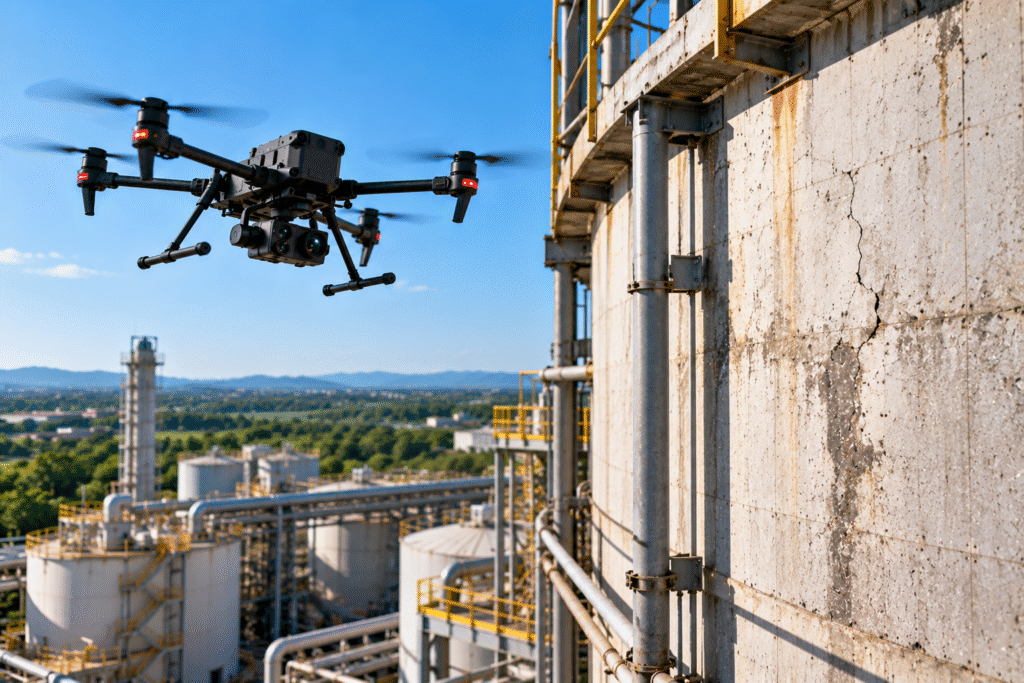
Visual Inspection
Capture high-resolution imagery of visible asset surfaces, structures and components for review and documentation.
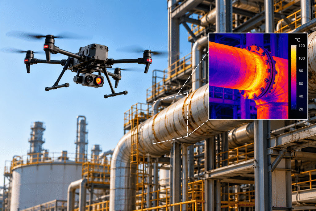
Thermal Inspection
Where suitable thermal sensors and procedures are available, record temperature patterns for qualified assessment.
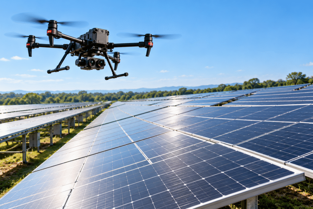
Solar Panel Inspection
Document solar installations with visual imagery and, where equipped and scoped, thermal data for further review.
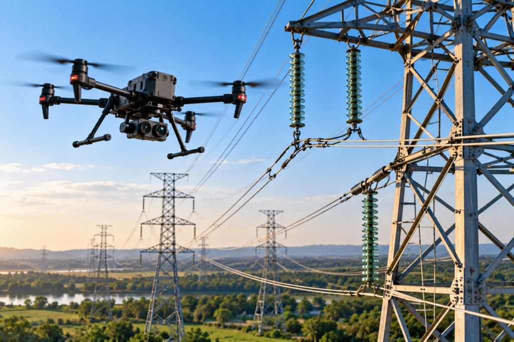
Power Line & Tower Inspection
Capture aerial views of accessible transmission assets, towers and defined utility corridors.
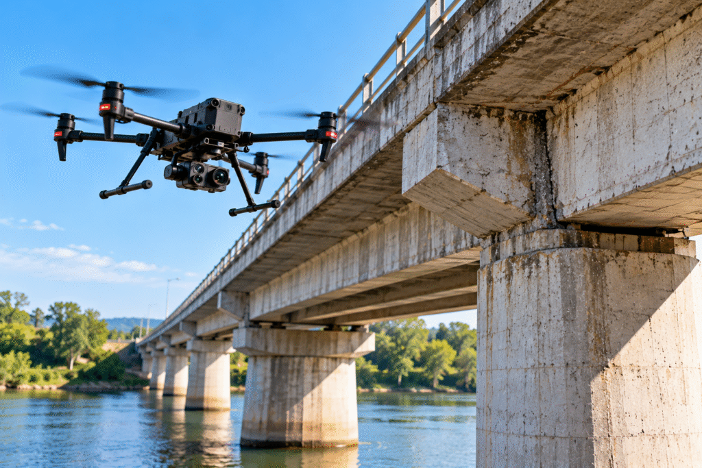
Bridge & Infrastructure Inspection
Document agreed visible areas of bridges and infrastructure to support engineering or maintenance review.
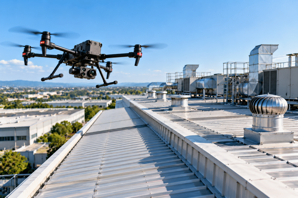
Roof & Industrial Asset Inspection
Capture aerial imagery of roofs, facades, industrial structures and facility exteriors.
Industries We Serve
Drone inspection services support infrastructure and industrial operations across multiple sectors. Suitable inspection methods and deliverables depend on the asset, site conditions, project requirements and permissions.
Energy & Solar
Visual and thermal documentation of suitable installations.
Power & Utilities
Transmission towers, line corridors and utility assets.
Transport Infrastructure
Bridges, flyovers and related structures.
Industrial Facilities
Drone inspection services for exterior assets and hard-to-reach industrial areas.
Telecommunications
Tower and antenna visual documentation.
Commercial Buildings
Roof and exterior records.
Project Applications & Case Studies
Examples of how this service may be applied to real project needs.
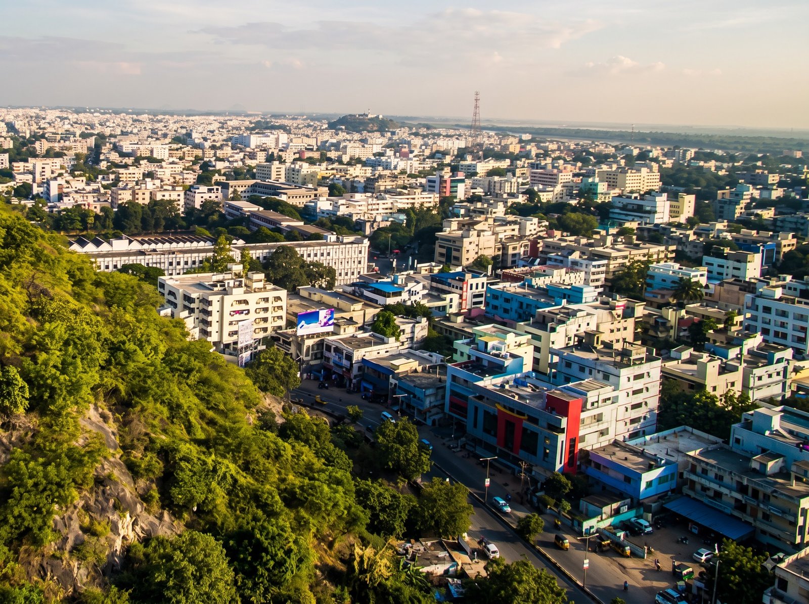
DOCUMENTED DEPLOYMENT
Smart City Infrastructure Inspection
Dronevex partnered with the Guntur Smart City administration to conduct structured aerial inspections of urban infrastructure, including drainage channels, water pipelines, power lines and overhead tanks. The deployment supported infrastructure documentation and identification of maintenance needs.
* These documented deployments are based on Dronevex project summaries. Project details are shared subject to approval.
PROJECT OUTPUTS
What You Can Receive
Deliverables are agreed during project scoping and depend on equipment, site conditions, processing and intended use.
High-resolution imagery
Detailed aerial visuals of inspected assets
Thermal imagery
Thermal data where suitable equipment and scope permit
Annotated observations
Marked findings and observations, if agreed
Inspection summary
A concise overview of inspection findings
Asset documentation
Organized imagery of identified components
Condition records
Visual records to support maintenance planning
How Inspection Works
A clear process from the first enquiry to delivery of agreed outputs.
STEP 01
Share Requirements
Describe the asset, location, inspection objective and areas of interest.
STEP 02
Plan the Mission
Confirm access, flight conditions, safety considerations, equipment and deliverables.
STEP 03
Capture Asset Data
Collect agreed imagery or sensor data within the approved operating scope.
STEP 04
Review & Organize
Sort captured records and prepare agreed observations or supporting documentation.
STEP 05
Deliver Outputs
Provide the agreed imagery, records and summary in the confirmed format.
Help Us Understand Your Inspection
Sharing a few project details helps define a suitable inspection approach and the outputs required.
Asset & Location
Tell us the asset type and where it is located.
Inspection Objective
Identify the areas or components you want to document.
Required Data
Specify whether you need photographs, video or thermal data.
Timeline
Share the preferred schedule and any repeat inspection needs.
Site Conditions
Mention known access limits, site rules or operating restrictions.
Desired Outputs
Describe any preferred reporting or file-format requirements.
Related Drone Services
Other drone services may complement inspection depending on your project objectives.
Support site measurement and terrain-related project requirements.
Create aerial map products and spatial records for suitable sites.
Document sites and activities through scoped aerial observation.
Frequently Asked Questions
What can a drone inspection help document?
Depending on the asset and mission, drone imagery can document visible surfaces and components of roofs, towers, bridges and suitable industrial assets.
Can drone inspections include thermal imagery?
Thermal capture is possible only when suitable thermal equipment, operating conditions and a clearly defined scope are available. Thermal results may require review by a qualified professional.
Does a drone inspection replace an engineering inspection?
No. Drone imagery can support documentation and review, but it does not automatically replace hands-on inspection, testing or assessment by appropriately qualified professionals.
What deliverables can be provided?
Possible outputs include photographs, video, thermal imagery where scoped, annotated observations and an inspection summary. The exact deliverables should be agreed before the mission.
What are drone inspection services used for?
Drone inspection services help document the visible condition of infrastructure and industrial assets using aerial photographs, video and thermal imagery where suitable. They can support maintenance planning and asset condition reviews, depending on the project scope and site conditions.
Plan Your Drone Inspection
Tell us which asset you need inspected, where it is located and what you want to document.