Drone as a Service in India – Survey, Mapping, Inspection & Monitoring
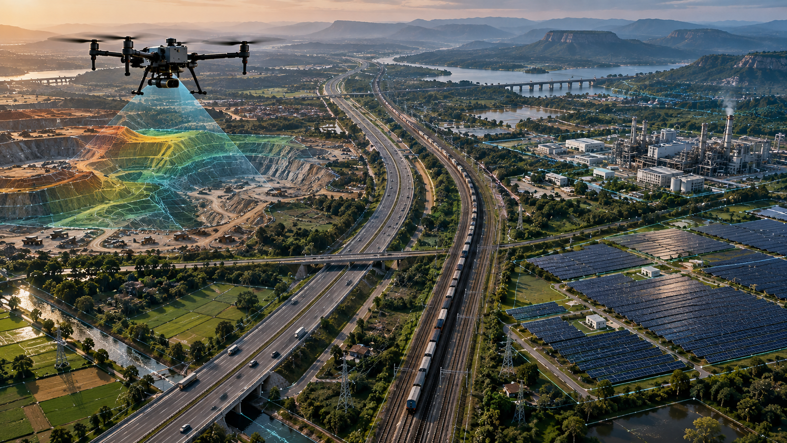
Dronevex provides professional drone services across India for surveying, mapping, inspection, monitoring, and aerial data collection. Our drone teams help infrastructure, construction, mining, energy, utilities, agriculture, government, and industrial organizations capture accurate data safely and efficiently.
Drone Services for Surveying, Mapping, Inspection & Monitoring
Dronevex delivers professional drone services across India for projects that require accurate aerial data, visual documentation, and actionable insights. From land and infrastructure surveys to asset inspections, construction monitoring, volumetric measurements, and specialized aerial data collection, our team provides the right drone solution for each project.
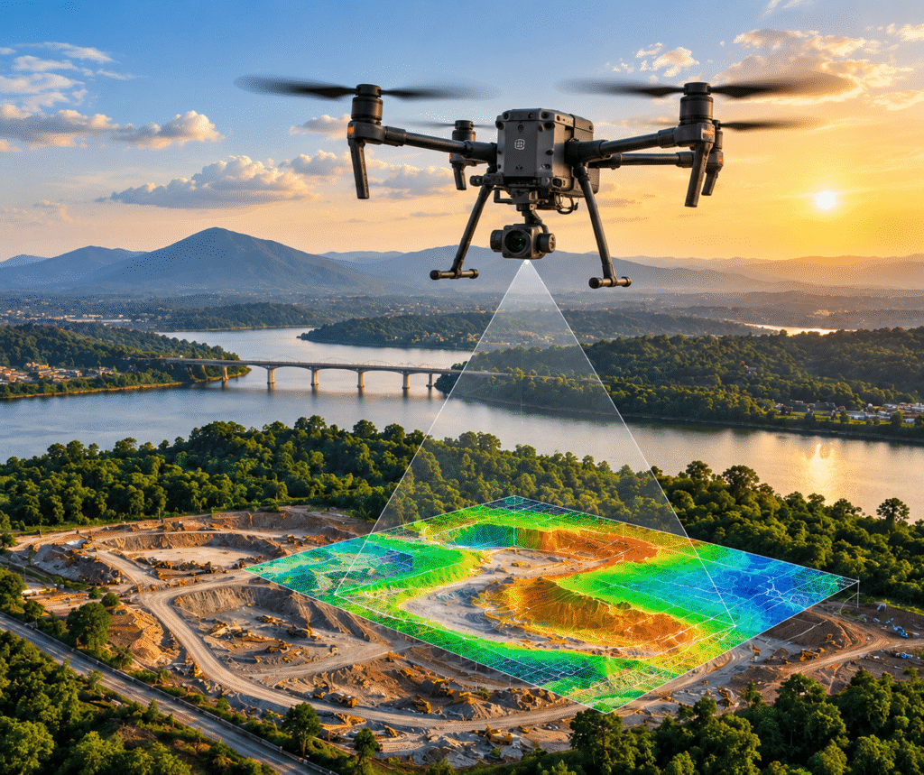
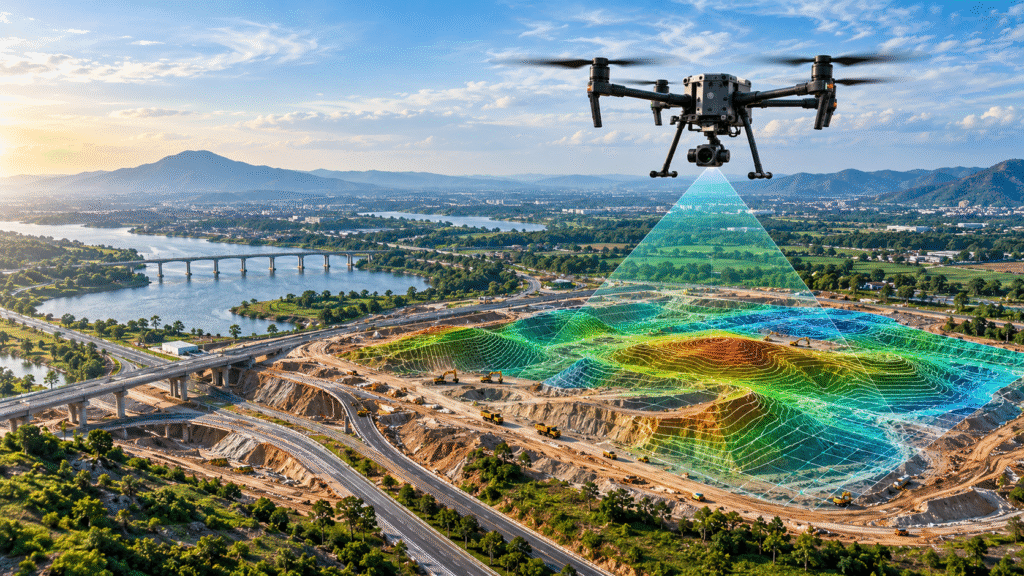
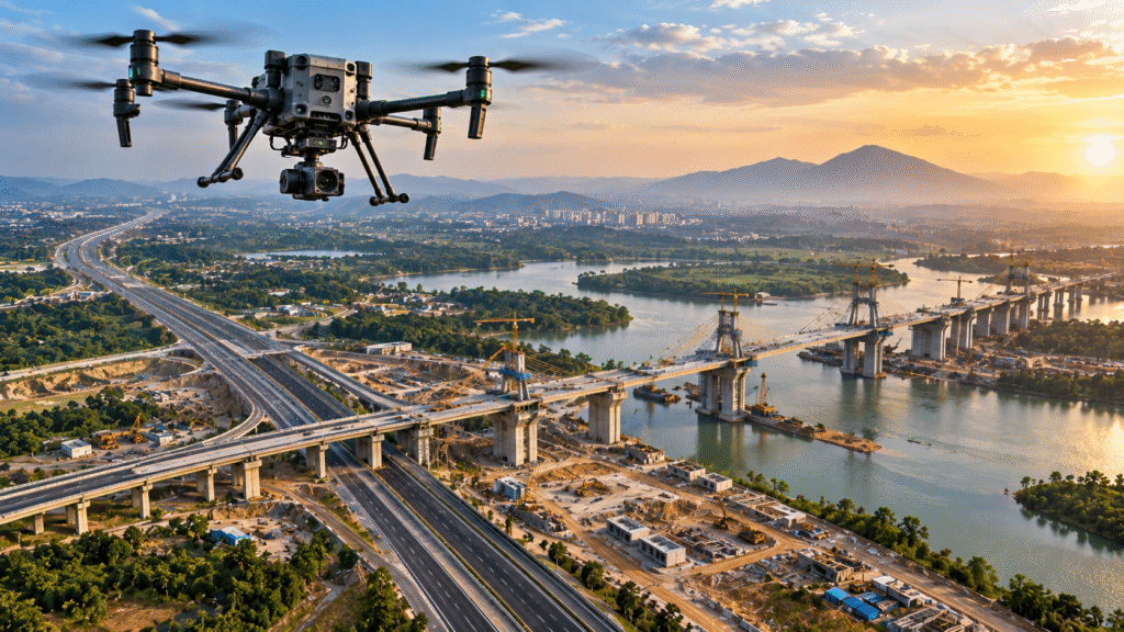
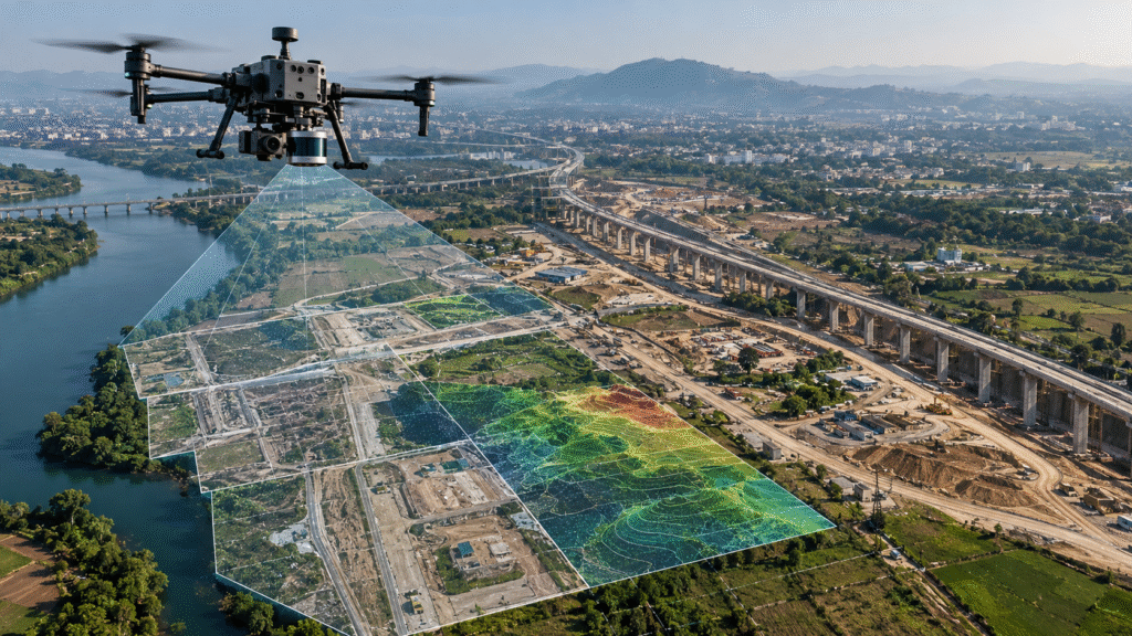
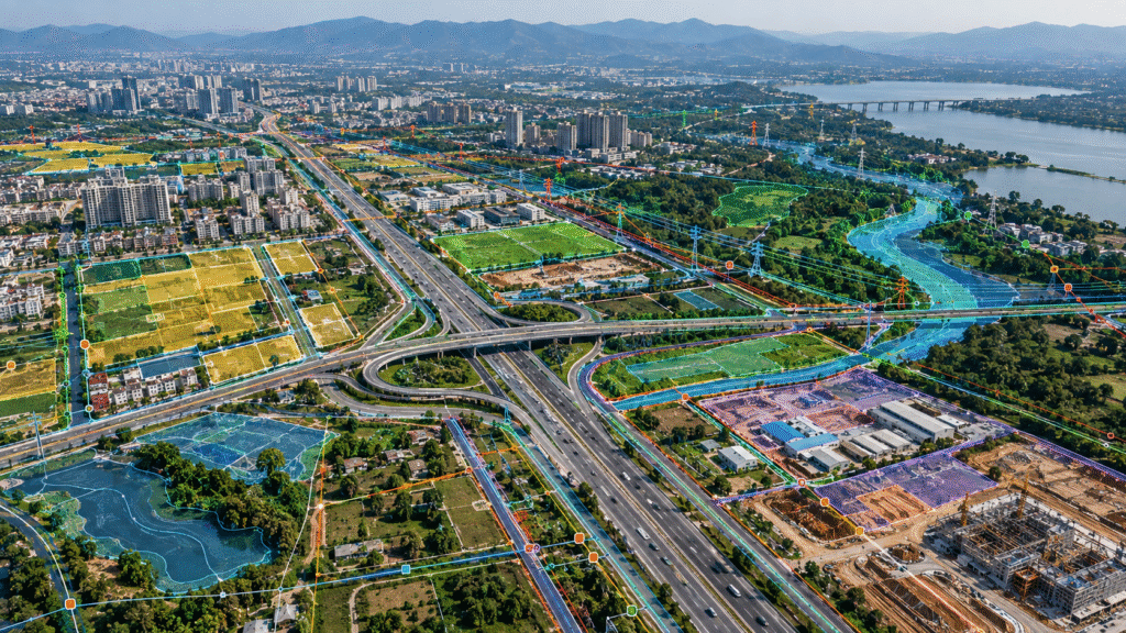
Drone Survey & Mapping
Professional drone survey and mapping services for land, infrastructure, roads, construction sites, mining areas and large-scale projects. Get accurate aerial data, orthomosaic maps, 3D models, measurements and actionable project insights.
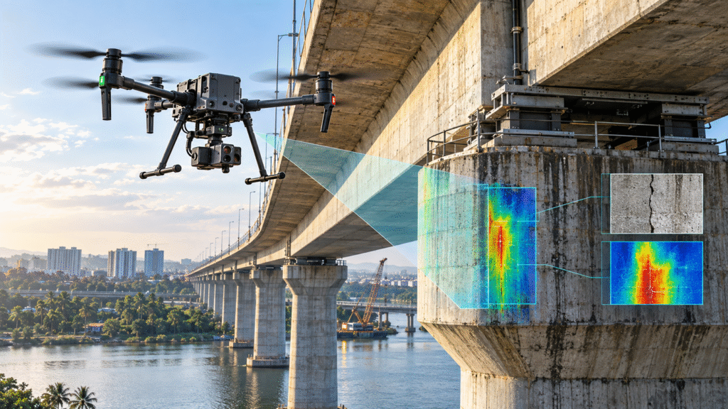
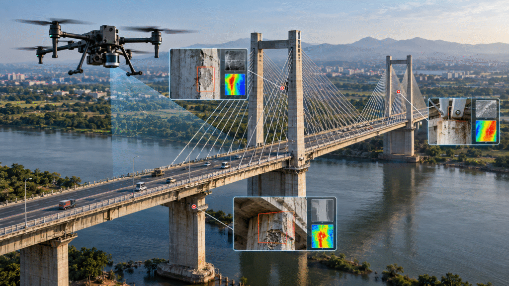
Drone Inspection
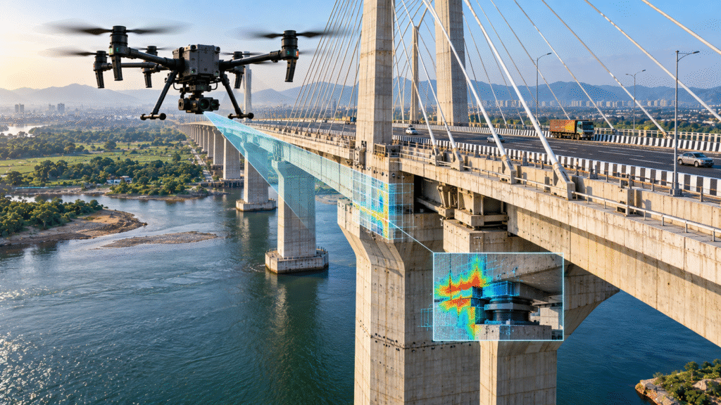
Professional drone inspection services for bridges, power lines, telecom towers, solar panels, dams, industrial assets and critical infrastructure. Capture high-resolution visual and thermal data while reducing inspection time and improving safety.
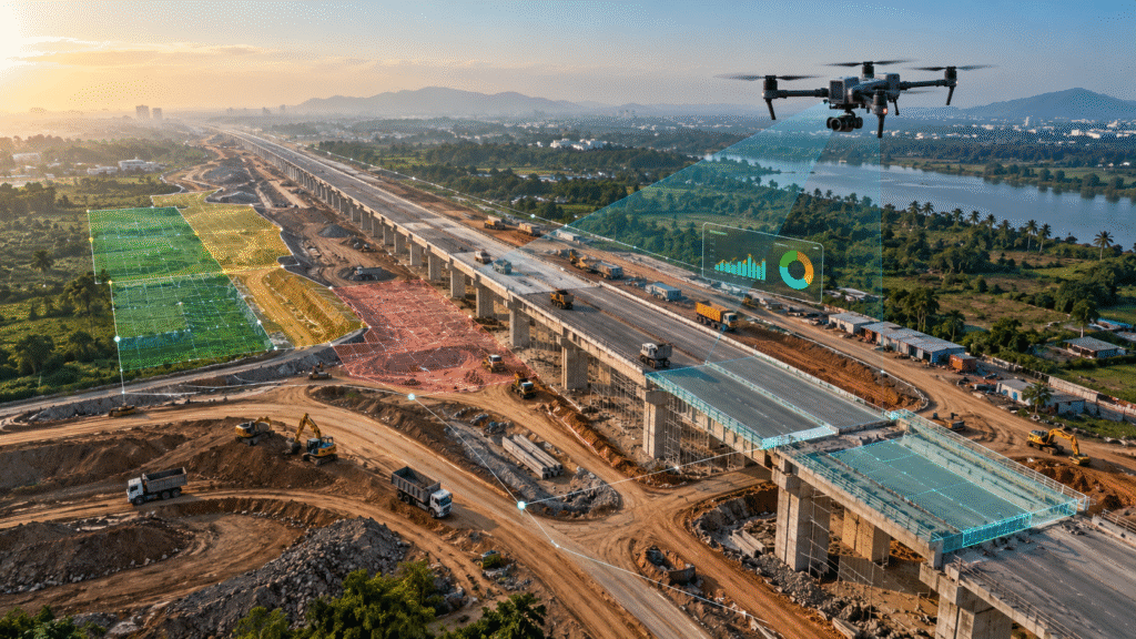
Drone Monitoring
Drone-based monitoring for construction projects, infrastructure development, mining operations and large sites. Track progress, document site conditions, compare project stages and obtain accurate aerial data for better project decisions.
Drone Videography & Aerial Documentation
Professional drone videography and aerial photography for infrastructure, construction, real estate, industrial projects and large-scale developments. Capture high-resolution aerial visuals for project documentation, presentations, reporting and marketing.
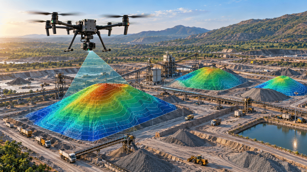
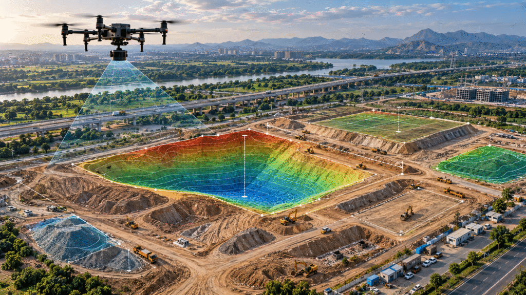
Drone Volumetric Survey
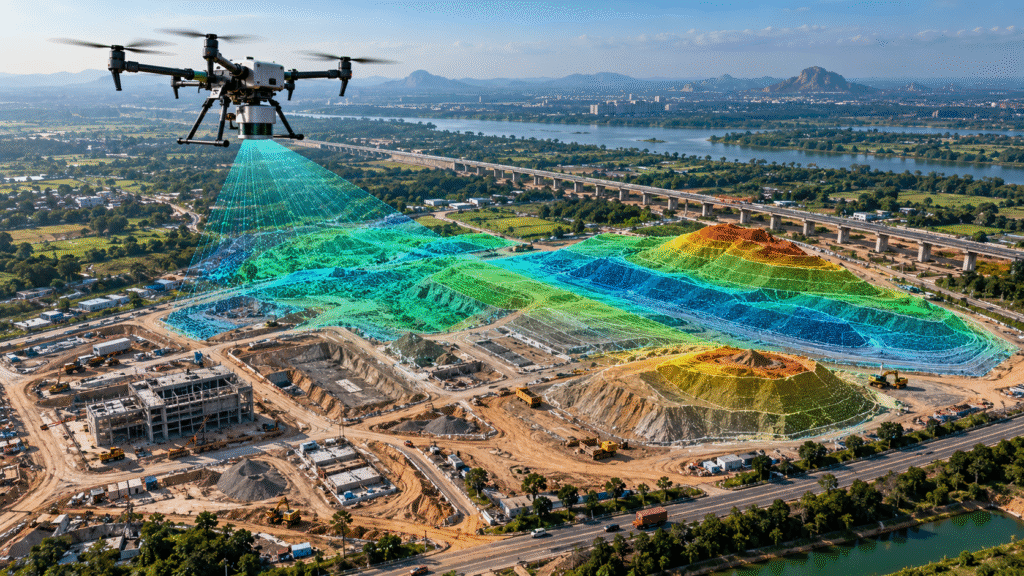
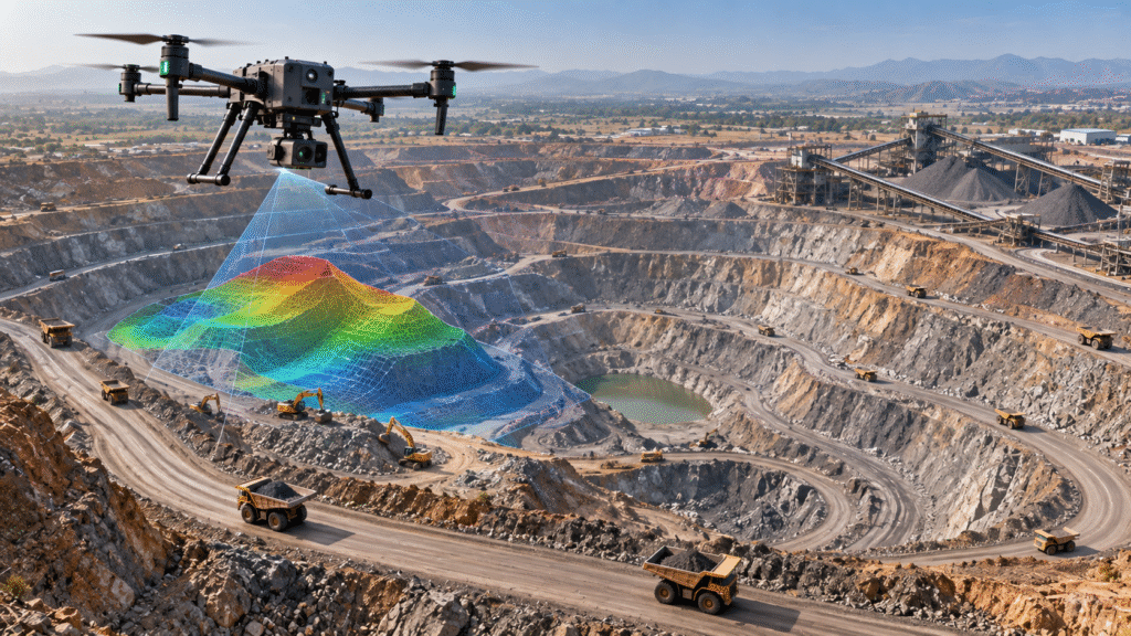
Accurate drone-based volume measurement for stockpiles, excavation areas, earthwork, cut-and-fill operations and mining sites. Generate reliable aerial data, 3D models and measurements for material quantities, project planning and progress tracking.
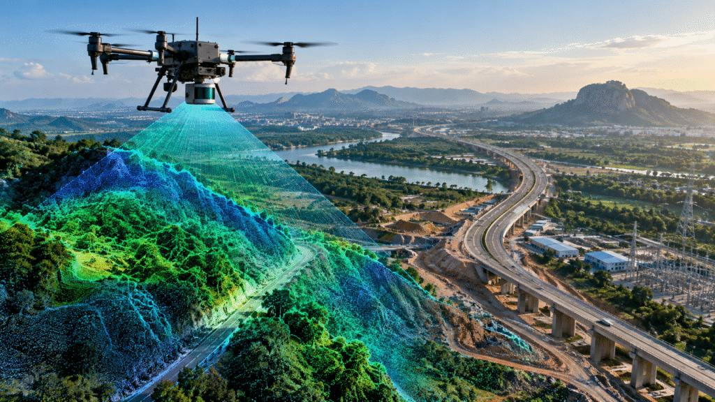
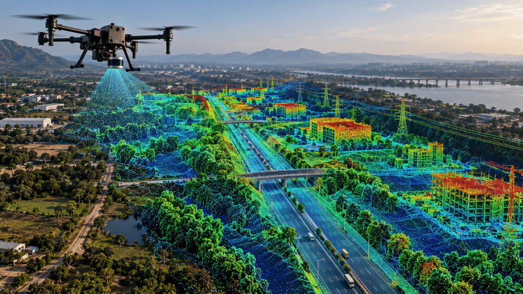
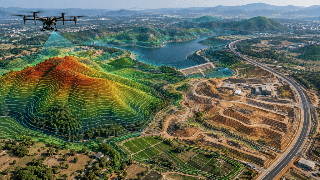
Drone LiDAR Survey
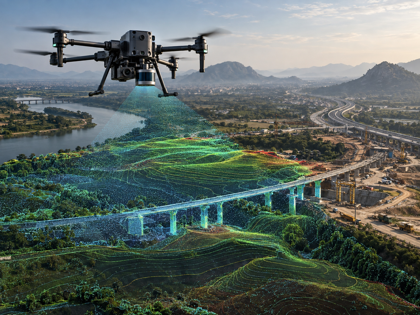
High-precision aerial LiDAR surveying for terrain, corridors, vegetation, infrastructure and complex sites. Capture detailed 3D point clouds and elevation data for mapping, engineering, planning and asset analysis.
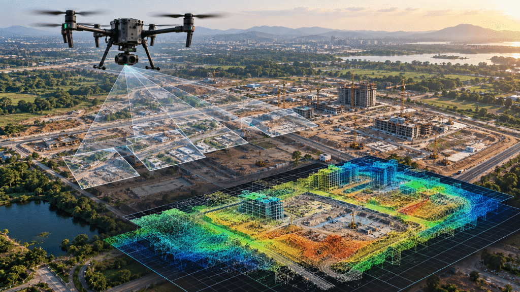
Drone Photogrammetry
High-resolution drone photogrammetry services for surveying, mapping, construction, mining, infrastructure and land development projects. Generate accurate orthomosaics, 3D models, point clouds, measurements and detailed aerial maps from drone imagery.
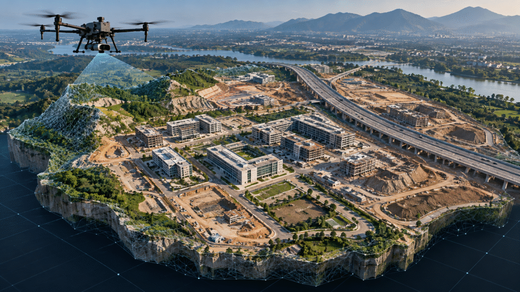
3D Drone Mapping
Advanced 3D drone mapping services for infrastructure, construction, mining, land development and engineering projects. Create detailed 3D terrain models, digital surface models, point clouds and measurable site representations for planning and analysis.
Thermal Drone Inspection
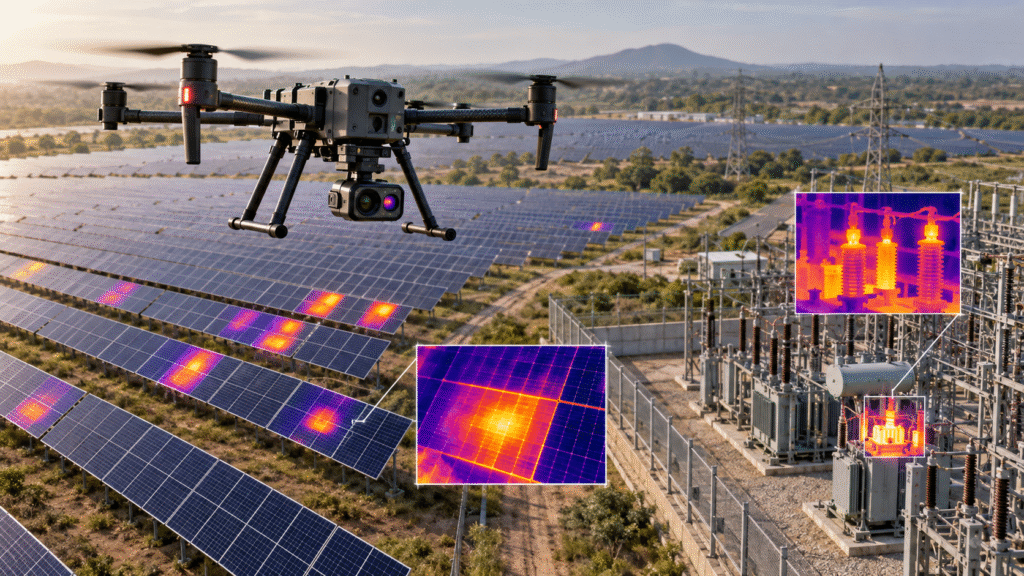
Professional thermal drone inspection services for solar panels, power infrastructure, industrial assets, buildings and critical facilities. Capture aerial thermal imagery to identify hotspots, abnormal heat patterns, equipment issues and potential maintenance requirements safely and efficiently.
Multispectral Drone Survey
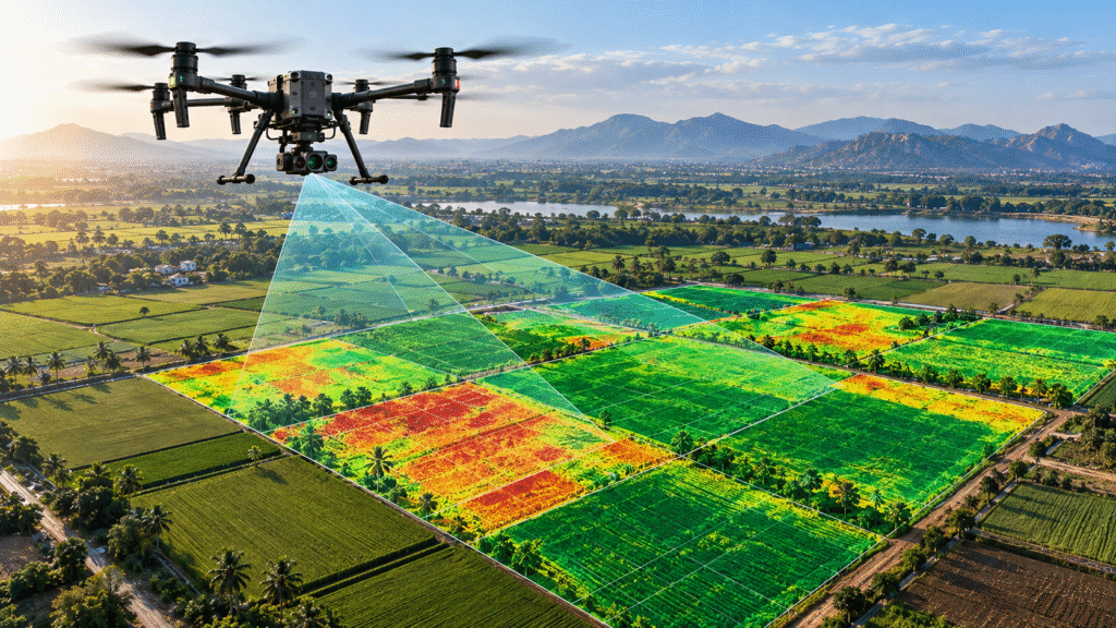
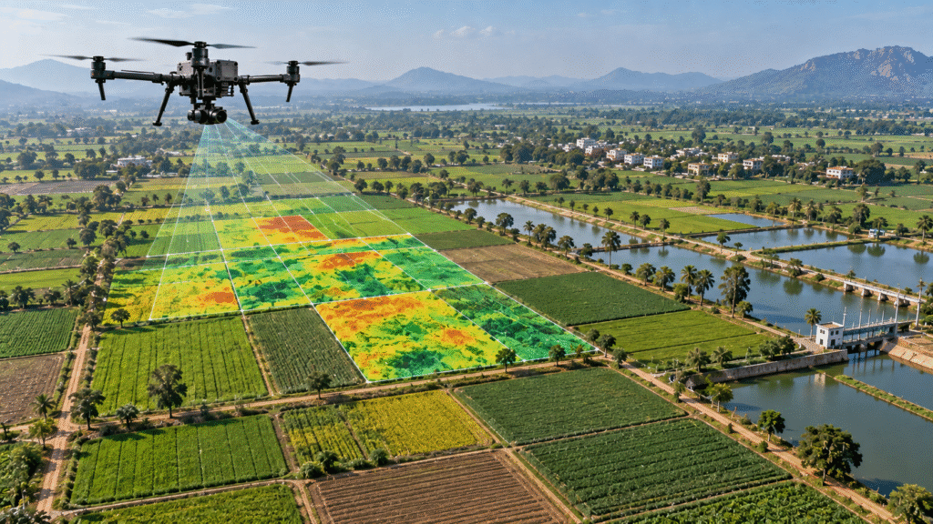
Professional multispectral drone survey services for agriculture, vegetation monitoring, environmental assessment and land analysis. Capture multispectral aerial data to assess crop and vegetation conditions, identify variations and support data-driven field management.
GIS & Geospatial Analytics
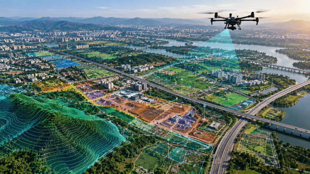
Professional GIS and geospatial analytics services using drone survey and mapping data. Transform aerial imagery, orthomosaics, 3D models, point clouds and survey data into accurate spatial information for infrastructure, land, construction, mining and asset management projects.
Aerial Photography
Professional drone aerial photography for infrastructure, construction, real estate, industrial projects, government projects and large-scale developments. Capture high-resolution aerial photographs for project documentation, presentations, progress reports, marketing and visual communication.
Drone Solutions Across Key Industries
Dronevex provides specialized drone services for infrastructure, construction, mining, energy, agriculture, government and industrial projects across India. Choose your industry to explore the drone surveys, inspections, mapping, monitoring and aerial data solutions relevant to your project.
Roads & Highways
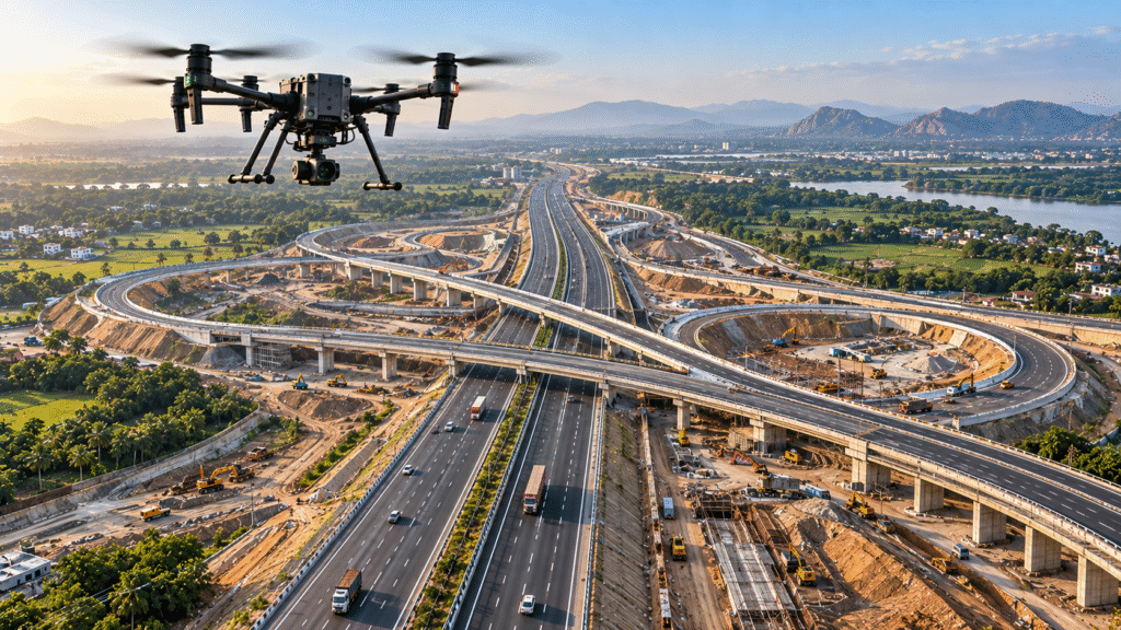
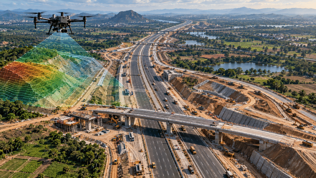
Professional drone surveying and mapping for roads and highway projects, including corridor mapping, topographic surveys, existing and proposed road mapping, DPR support, construction progress monitoring, earthwork measurement and aerial documentation.
Railways
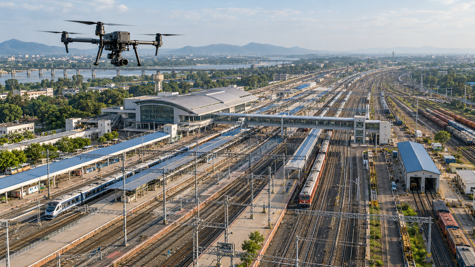
Professional drone surveying, mapping, inspection and aerial documentation for railway infrastructure, stations, yards, corridors and development projects. Capture accurate aerial data for planning, monitoring, documentation and project management.
Mining
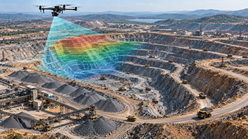
Drone surveying and mapping for mining operations, including cut-and-fill volume measurement, proposed mining area mapping, stockpile measurement and before-and-after blasting surveys. Generate accurate aerial data for planning, monitoring and quantity assessment.
Forest & Environment
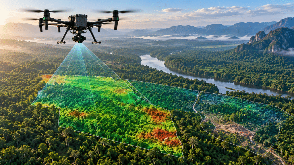
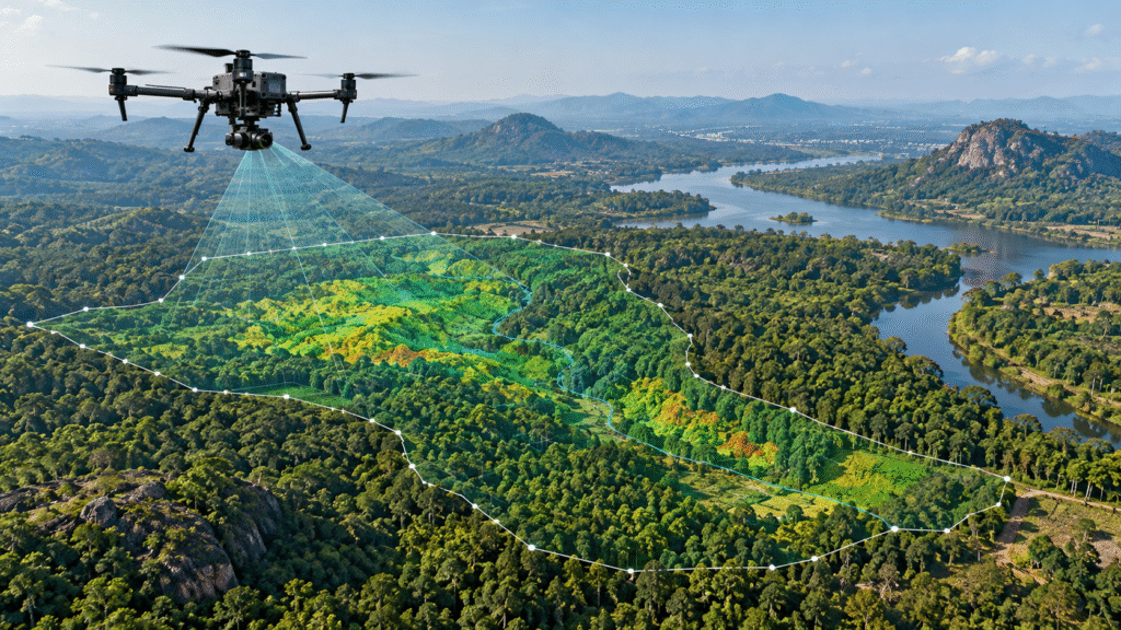
Drone-based vegetation monitoring, forest mapping and boundary demarcation for environmental and land management projects. Capture aerial data to monitor vegetation conditions, document changes and support accurate boundary assessment.
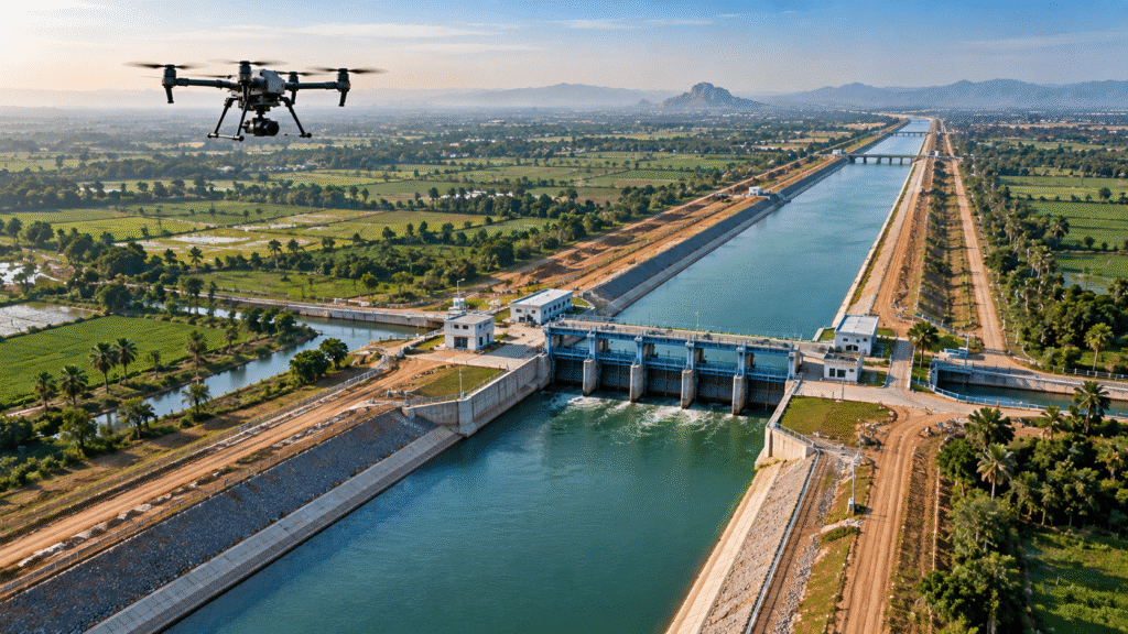
Canals
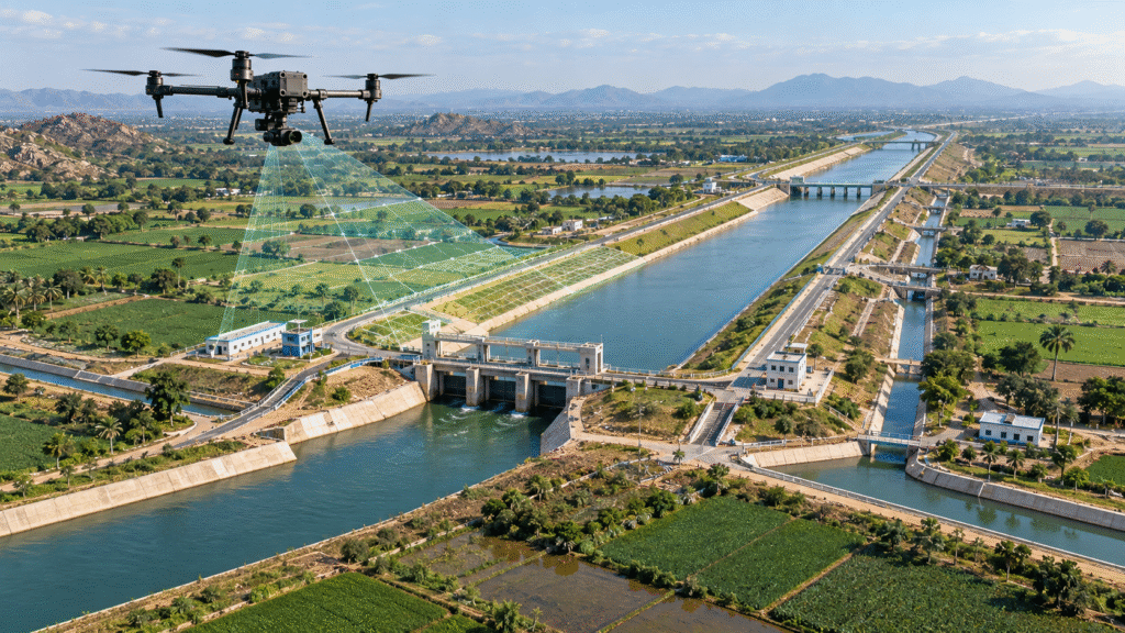
Drone surveying, mapping and aerial documentation for canal networks and irrigation infrastructure. Capture accurate aerial data for canal alignment, condition assessment, infrastructure monitoring and project planning across large canal corridors.
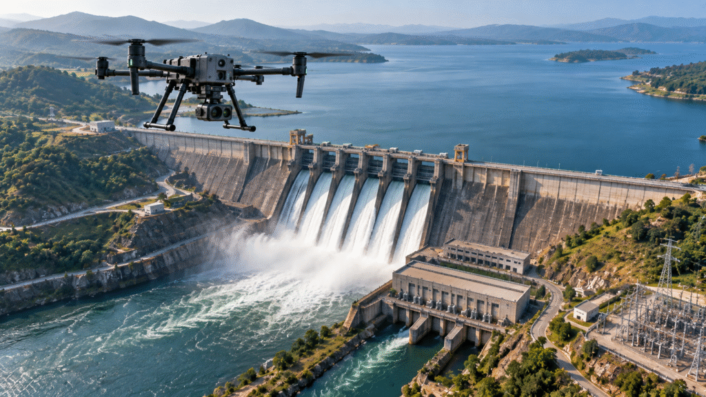
Dams
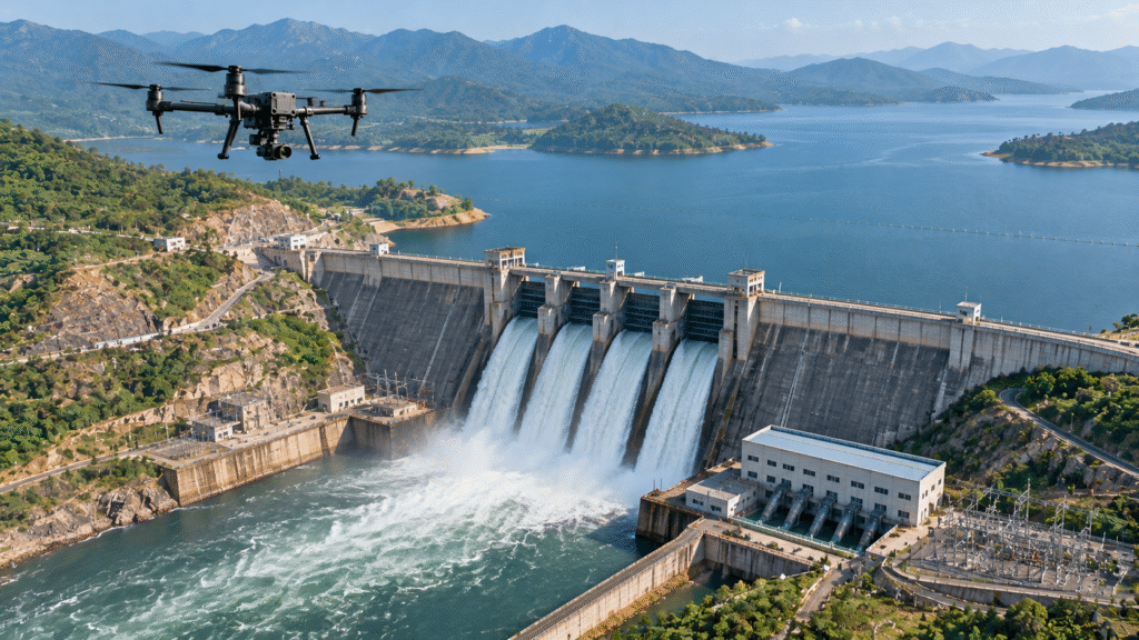
Drone inspection, surveying and aerial documentation for dams, reservoirs and critical water infrastructure. Capture high-resolution visual data of dam structures, spillways, surrounding terrain and key assets while improving inspection safety and project documentation.
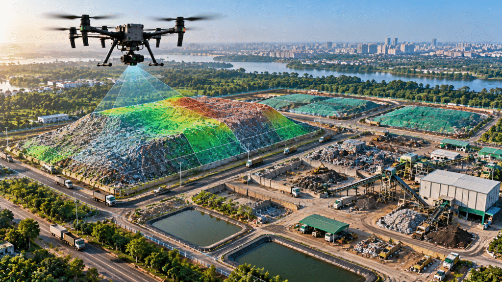
Municipalities
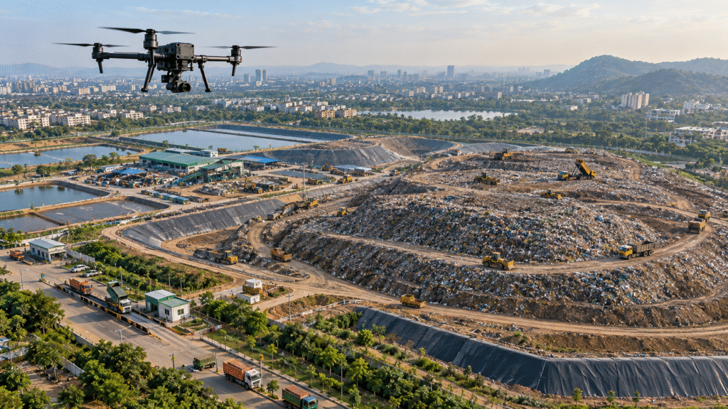
Drone surveying and aerial monitoring for municipal infrastructure, dump yards, landfill sites and urban development areas. Capture accurate site data for waste monitoring, volume measurement, GIS mapping, bio-mining progress and project documentation.
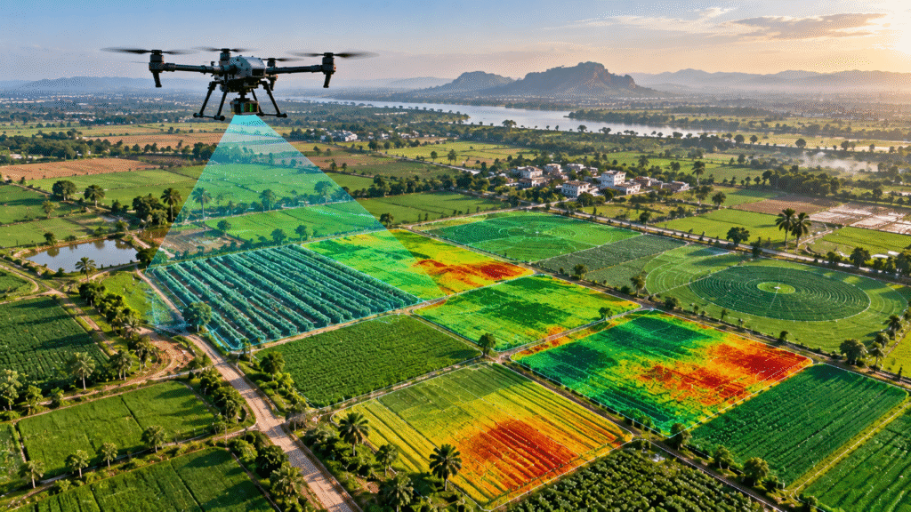
Agriculture
Drone surveys for agricultural land and crop assessment, including aerial data collection for crop insurance and field documentation. Capture detailed imagery of large agricultural areas to support accurate assessment, monitoring and data-driven decision-making.
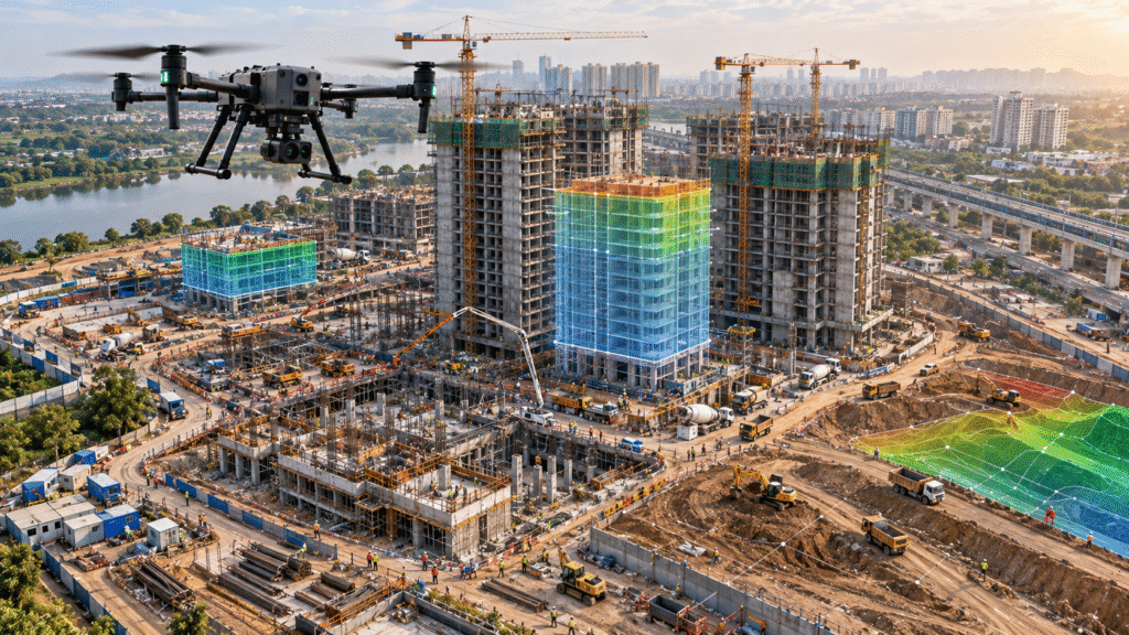
Construction
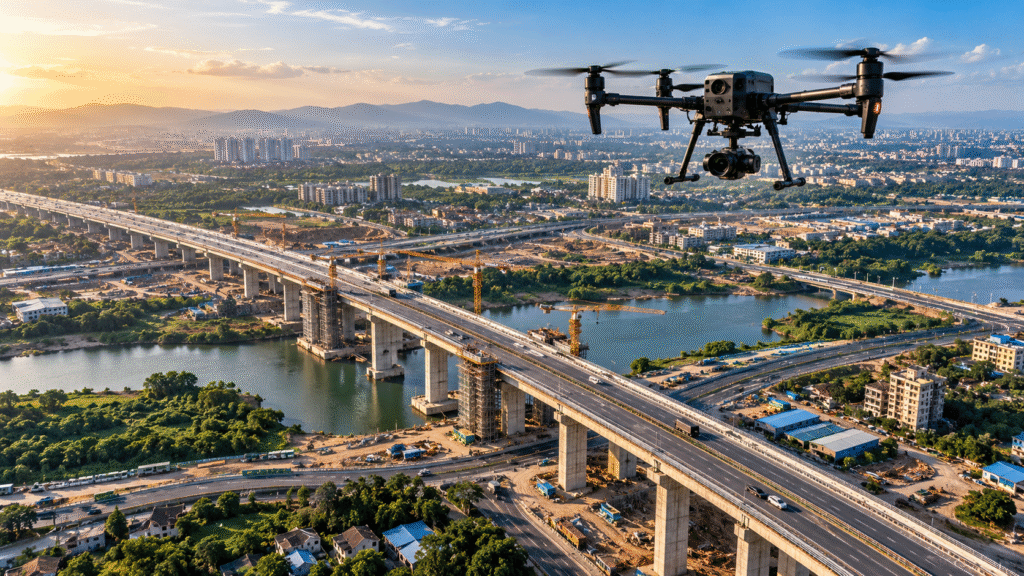
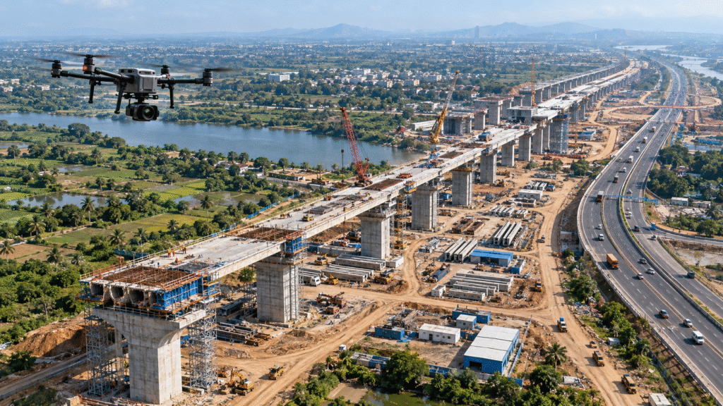
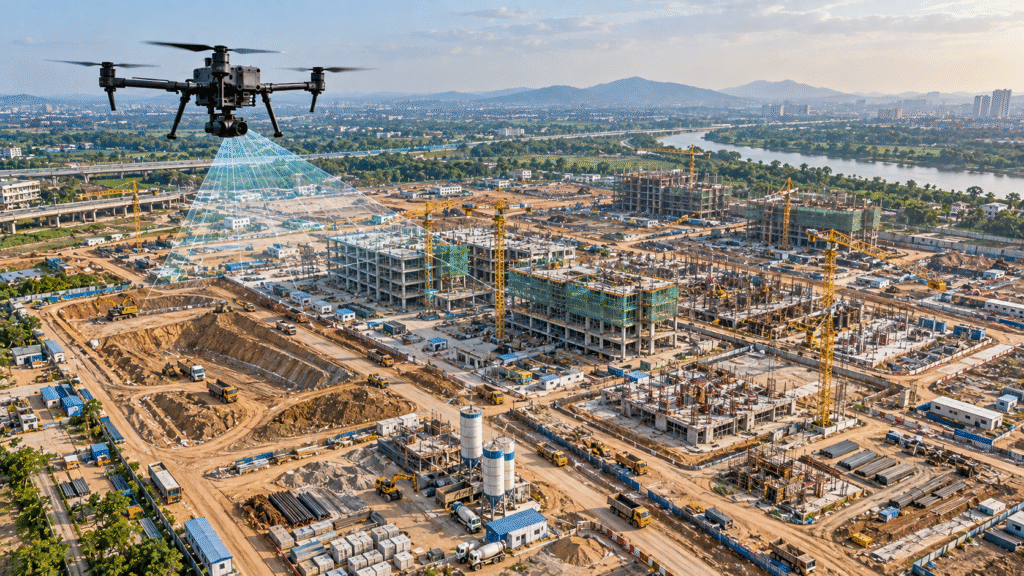
Drone-based construction monitoring and aerial surveying for large building, infrastructure and development projects. Track construction progress, document site conditions, monitor earthwork and create accurate aerial records for project management and reporting.
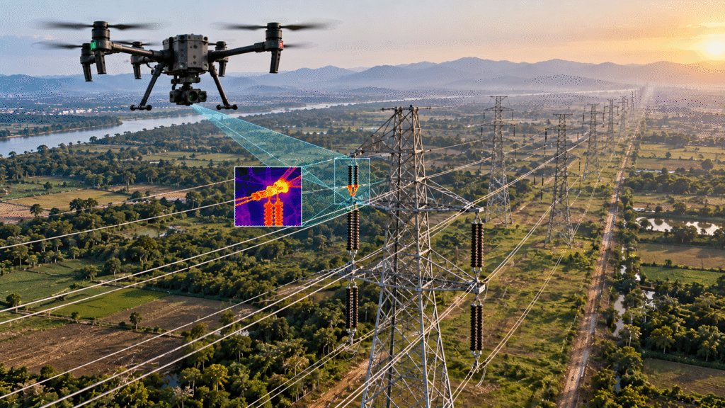
Power Lines
Aerial inspection and mapping for transmission lines, distribution corridors and electrical towers. Capture high-resolution visual and thermal data to identify asset conditions, vegetation encroachment and potential infrastructure issues while reducing inspection risk.
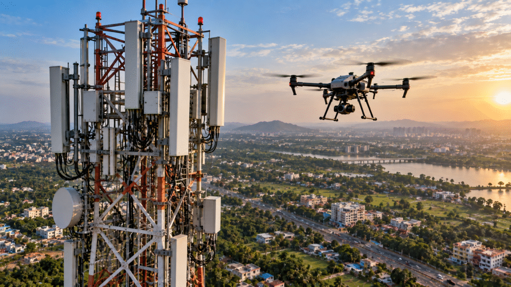
Telecom Towers
Drone inspection and aerial documentation for mobile towers and telecom infrastructure. Capture high-resolution imagery of tower structures, antennas, equipment and surrounding assets for condition assessment, maintenance planning and detailed inspection records.
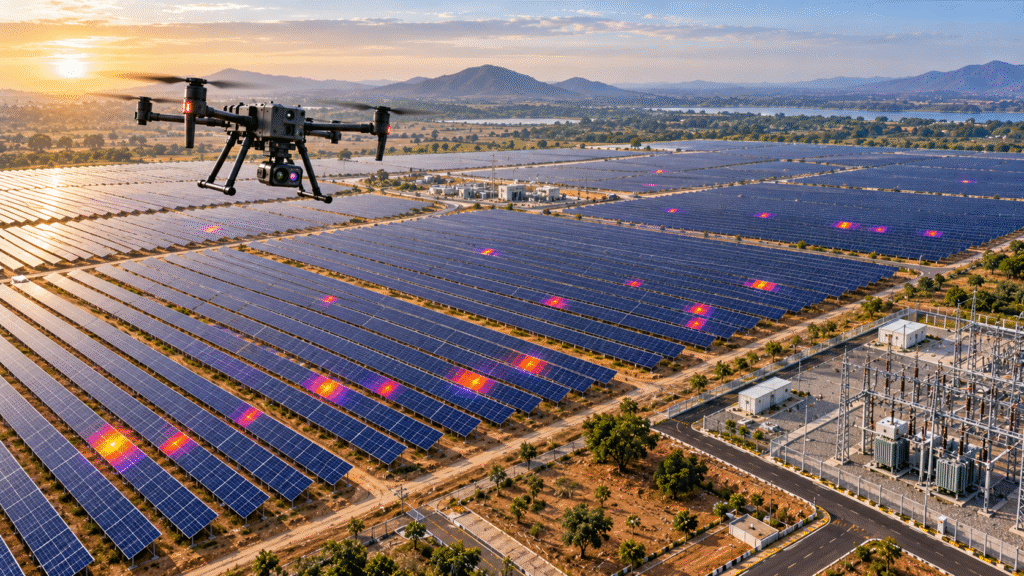
Solar
Drone surveying, inspection and thermal analysis for solar power plants and large photovoltaic installations. Capture detailed aerial imagery and thermal data to identify panel hotspots, document plant conditions, map assets and support efficient maintenance.
Bridges
Drone inspection and surveying for bridges, flyovers and major transportation structures. Capture high-resolution visual and thermal data of decks, piers, structural components and surrounding areas to support condition assessment, maintenance planning and project documentation.
How Drone as a Service Works
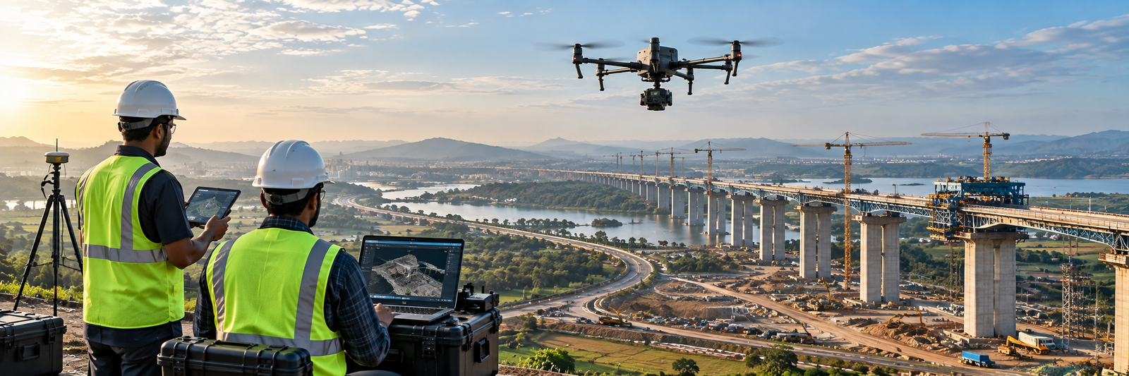
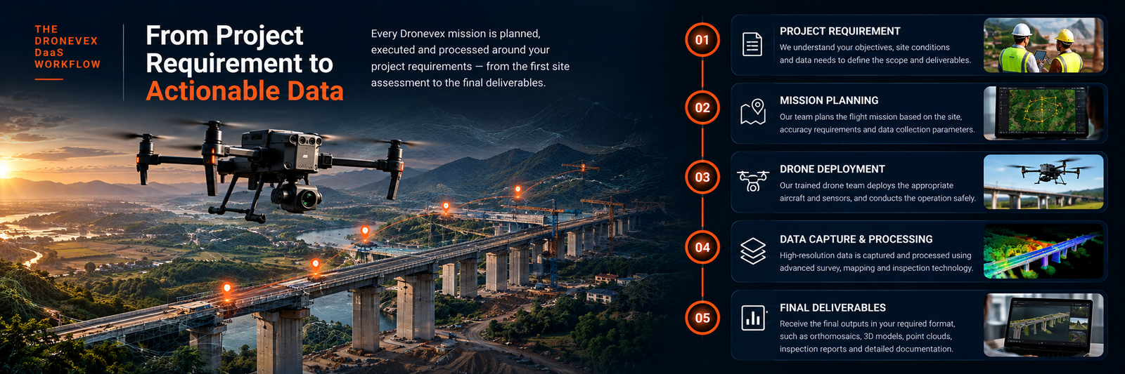
From project planning to final data delivery, Dronevex manages the complete drone operation. Our team handles mission planning, drone deployment, data capture, processing and delivery according to the requirements of each project.
Project Requirement
We understand your project requirements, site conditions, survey scope and required deliverables before planning the drone operation.
Mission Planning
Our team plans the flight mission based on the site, project scope, required accuracy, drone platform and data collection requirements.
Drone Deployment
Our trained drone team deploys the appropriate aircraft and sensors on site and conducts the operation safely according to the approved mission plan.
Data Capture & Processing
High-resolution aerial data is captured and processed using the appropriate survey, mapping, inspection or imaging technology to produce accurate project information.
Final Deliverables
Receive the final processed outputs in the required format, such as orthomosaics, 3D models, point clouds, measurements, inspection reports, thermal data and aerial documentation.
Drone Technology & Capabilities
Drone Technology Built for Accurate Aerial Data
01
LiDAR & 3D Scanning
High-precision 3D point clouds and terrain data for surveying, mapping, corridors and infrastructure.
02
RTK / PPK Positioning
Centimetre-level positioning for accurate aerial surveys, mapping, measurements and repeatable project data.
03
Thermal & Multispectral Imaging
Specialized aerial sensors for thermal inspection, agriculture, vegetation analysis and condition assessment.
04
Photogrammetry & GIS
High-resolution imagery transformed into orthomosaics, 3D models, point clouds and actionable geospatial data.
Drone Survey & Inspection Deliverables
Receive accurate, project-ready outputs in the formats required for engineering, planning, inspection, monitoring and decision-making.
Orthomosaic Maps
High-resolution aerial imagery processed into accurate orthomosaic maps for surveying, mapping, planning and project documentation.
3D Models
Accurate 3D models generated from aerial imagery for terrain visualization, measurements, engineering planning and project documentation.
Point Clouds
High-density aerial point cloud data for detailed terrain analysis, infrastructure mapping, elevation assessment and 3D geospatial applications.
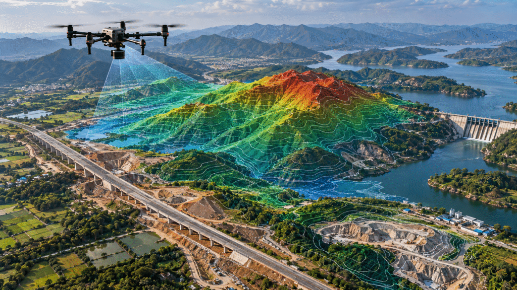
Digital Elevation Models
Detailed elevation models and terrain surfaces for slope analysis, drainage planning, earthwork assessment, infrastructure design and engineering applications.
Inspection Reports
Detailed visual and thermal inspection reports documenting asset condition, identified defects, observations and actionable findings for engineering and maintenance teams.
Thermal Inspection Data
High-resolution thermal imagery for identifying heat anomalies, equipment issues, solar panel hotspots and other condition-related abnormalities.
GIS & Geospatial Data
Processed aerial data integrated into GIS-ready datasets for asset mapping, spatial analysis, planning, monitoring and infrastructure management.
Contour Maps
Detailed contour maps showing terrain elevations, slopes and surface variations for topographic analysis, engineering design, drainage planning and site development.
Survey Measurements
Accurate aerial measurements for distances, areas, elevations, stockpiles, earthwork and infrastructure assets using processed drone survey data.
Aerial Data Documentation
Organized aerial imagery and project documentation for progress reporting, engineering records, inspections, planning and stakeholder communication.
INDUSTRIES WE SERVE
ONE DRONE PLATFORM.
MULTIPLE INDUSTRIES.
From roads and railways to mining, energy, agriculture and urban infrastructure, Dronevex delivers specialized aerial data solutions for diverse industries across India.
Explore how Dronevex applies drone surveying, mapping, inspection, monitoring and aerial data solutions across real-world infrastructure and industrial projects in India.
Roads & Highways
Drone corridor survey and mapping for road and highway development projects, including existing road mapping, proposed alignment documentation, topographic data, construction progress and DPR support.
CORRIDOR SURVEY
EXISTING ROAD MAPPING
PROPOSED ALIGNMENT
DPR & PROGRESS MONITORING
Railways
Railway surveying, station/yard modification, corridor mapping, inspection and aerial documentation.
STATION & YARD MAPPING
RAILWAY CORRIDOR SURVEY
MODIFICATION PLANNING
AERIAL DOCUMENTATION
Mining
Drone surveying and mapping for mining operations, including cut-and-fill volume measurement, proposed mining area mapping, stockpile measurement and before-and-after blasting s
CUT & FILL VOLUME
PROPOSED MINING AREA
STOCKPILE MEASUREMENT
BEFORE & AFTER BLASTING
Forest & Environment
Drone-based vegetation monitoring, forest mapping and boundary demarcation for environmental and land management projects. Capture aerial data to monitor vegetation conditions, document changes and support accurate boundary assessment.
VEGETATION MONITORING
FOREST MAPPING
BOUNDARY DEMARCATION
ENVIRONMENTAL ASSESSMENT
Canals
Drone surveying, mapping and aerial documentation for canal networks and irrigation infrastructure. Capture accurate aerial data for canal alignment, condition assessment, infrastructure monitoring and project planning across large canal corridors.
CANAL ALIGNMENT SURVEY
CANAL MAPPING
CONDITION ASSESSMENT
IRRIGATION INFRASTRUCTURE
Dams
Drone inspection, surveying and aerial documentation for dams, reservoirs and critical water infrastructure. Capture high-resolution visual data of dam structures, spillways, surrounding terrain and key assets while improving inspection safety and project documentation.
DAM INSPECTIONRESERVOIR MAPPINGSTRUCTURAL DOCUMENTATIONSPILLWAY INSPECTION
Municipalities
Drone surveying and aerial monitoring for municipal infrastructure, dump yards, landfill sites and urban development areas. Capture accurate site data for waste monitoring, volume measurement, GIS mapping, bio-mining progress and project documentation.
Drone surveys for agricultural land and crop assessment, including aerial data collection for crop insurance and field documentation. Capture detailed imagery of large agricultural areas to support accurate assessment, monitoring and data-driven decision-making.
Drone-based construction monitoring and aerial surveying for large building, infrastructure and development projects. Track construction progress, document site conditions, monitor earthwork and create accurate aerial records for project management and reporting.
CONSTRUCTION MONITORINGPROGRESS TRACKINGEARTHWORK MONITORINGSITE SURVEYAERIAL DOCUMENTATION
Shopping Cart
Product Enquiry
Scroll to Top
Drone Services
Drone Services for Surveying, Mapping, Inspection & Monitoring