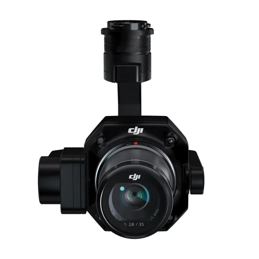
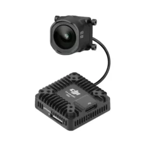
Zenmuse P1
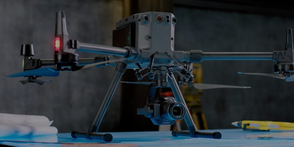
DJI Zenmuse P1 is a high-precision aerial survey camera featuring a 45MP full-frame sensor, 3 cm horizontal accuracy, and Smart Oblique Capture. Designed for large-scale mapping, it covers up to 3 km² per flight, making it a top choice for professionals in surveying, construction, and geospatial industries.
Featuring a global mechanical shutter and TimeSync 2.0, the Zenmuse P1 ensures that every frame is accurately captured and perfectly aligned with positional data. With absolute accuracy of 3 cm horizontally and 5 cm vertically—without ground control points—it raises the bar for aerial mapping professionals.
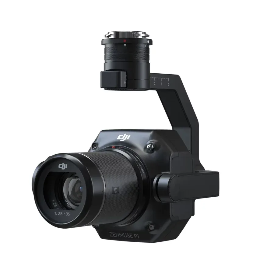
Built with survey-grade photogrammetry in mind, the Zenmuse P1 integrates a high-resolution sensor with rapid image acquisition—snapping photos every 0.7 seconds. Paired with an efficient processing workflow, it enables your drone to cover large areas swiftly, delivering highly accurate orthomosaic outputs in record time.

- Zenmuse P1 offers seamless compatibility with DJI drones and DJI Terra software, ensuring smooth data collection and processing. With real-time orientation metadata and intelligent capture modes, it delivers faster results while maintaining data accuracy and quality. This makes it an indispensable payload for professionals working in surveying, urban planning, disaster management, and environmental monitoring.
- Zenmuse P1 reduces the need for GCPs, it streamlines workflows while ensuring centimeter-level precision. Its ability to capture oblique images automatically makes it an excellent tool for 3D modeling, mapping, and photogrammetry.
- Professional Aerial Surveying Power
The DJI Zenmuse P1 redefines aerial surveying with its full-frame sensor and centimeter-level accuracy is designed to handle large-scale mapping missions with unmatched efficiency. - Maximum Coverage, Minimum Effort
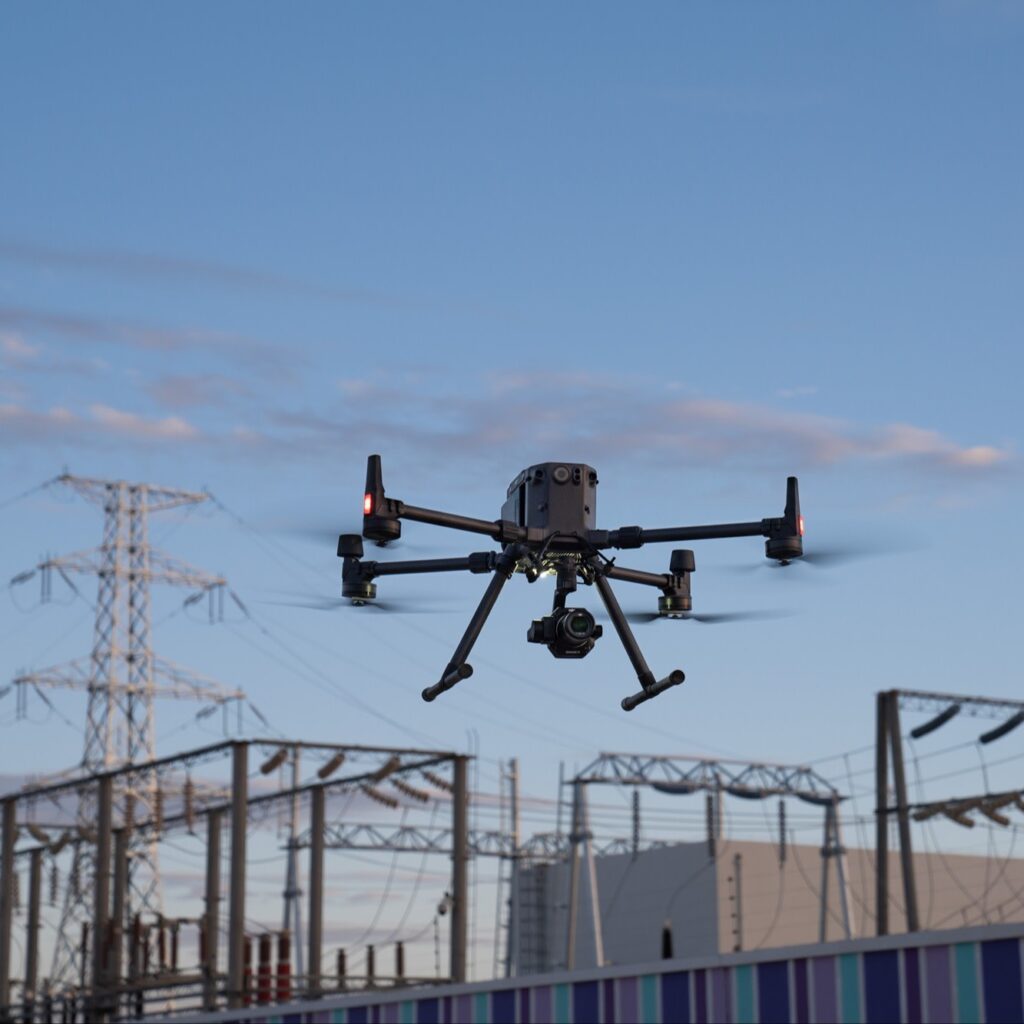
Capable of covering up to 3 km² in a single flight, Zenmuse P1 ensures that professionals can map vast areas quickly without compromising on precision. - Built for Industry Applications
From construction and mining to agriculture and urban planning, the Zenmuse P1 delivers reliable data for informed decision-making in every industry.
Why Zenmuse P1?
Use Cases
Land surveying and geospatial mapping
Urban planning & smart city projects
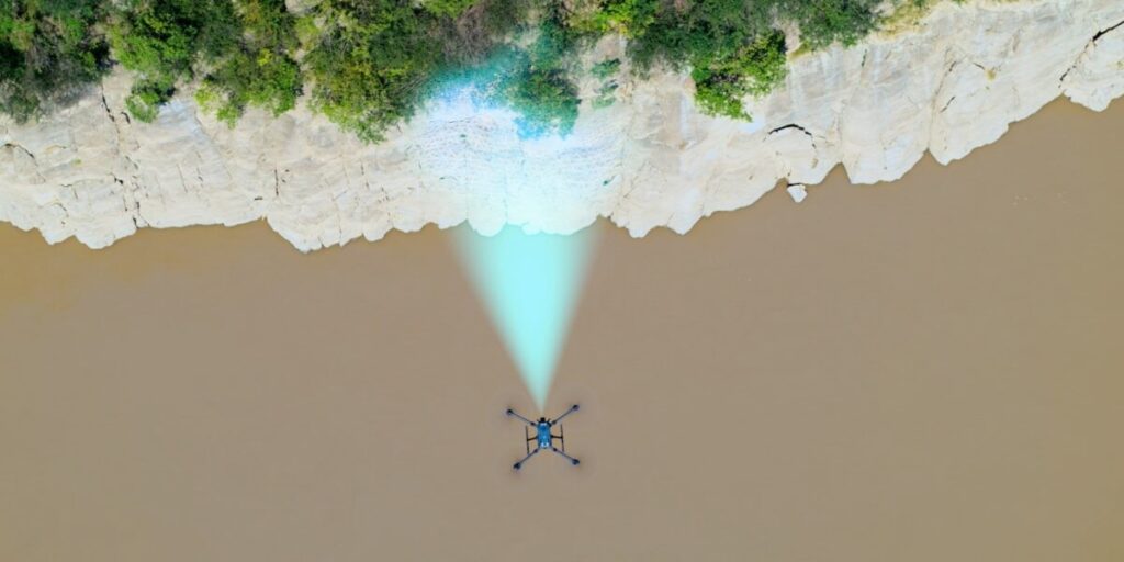
Forestry & environmental monitoring
Construction & infrastructure development
Disaster response and recovery
Why Choose Zenmuse P1 Over Older Models?
Full-frame 45MP sensor (vs. smaller sensors in older models)
Covers larger area per flight (up to 3 km²)
Smart oblique capture for efficient 3D modeling
Improved accuracy without GCPs
Faster data processing with DJI Terra integration
Customer Value Proposition
Lower operational costs
Reduced manpower and survey time
Consistent results across different terrains
Professional-grade outputs for government and enterprise use
How is Zenmuse P1 different from older models?
| Feature / Model | Zenmuse P1 | Zenmuse X7 | Zenmuse X5S |
|---|---|---|---|
| Sensor Type | Full-Frame CMOS | Super 35 CMOS | Micro 4/3 CMOS |
| Effective Pixels | 45 MP | 24 MP | 20.8 MP |
| Pixel Size | 4.4 µm | 3.91 µm | 3.4 µm |
| Shutter | Global Mechanical Shutter (1/2000s) | Electronic Rolling Shutter | Electronic Rolling Shutter |
| Accuracy | Centimeter-level (3 cm H / 5 cm V without GCPs) | Not survey-grade | Not survey-grade |
| Coverage per Flight | Up to 3 km² per flight | Limited | Limited |
| Lens Options | 24 mm, 35 mm, 50 mm interchangeable | 16 mm, 24 mm, 35 mm, 50 mm DL lenses | 8+ compatible MFT lenses |
| Special Features | Smart Oblique Capture, TimeSync 2.0 | High dynamic range for cinematography | Good balance of quality & weight |
| Best Use Case | Mapping, Surveying, Photogrammetry, 3D Modeling | Cinematic Filmmaking, Professional Video | Photography, Mid-level Cinematic Work |
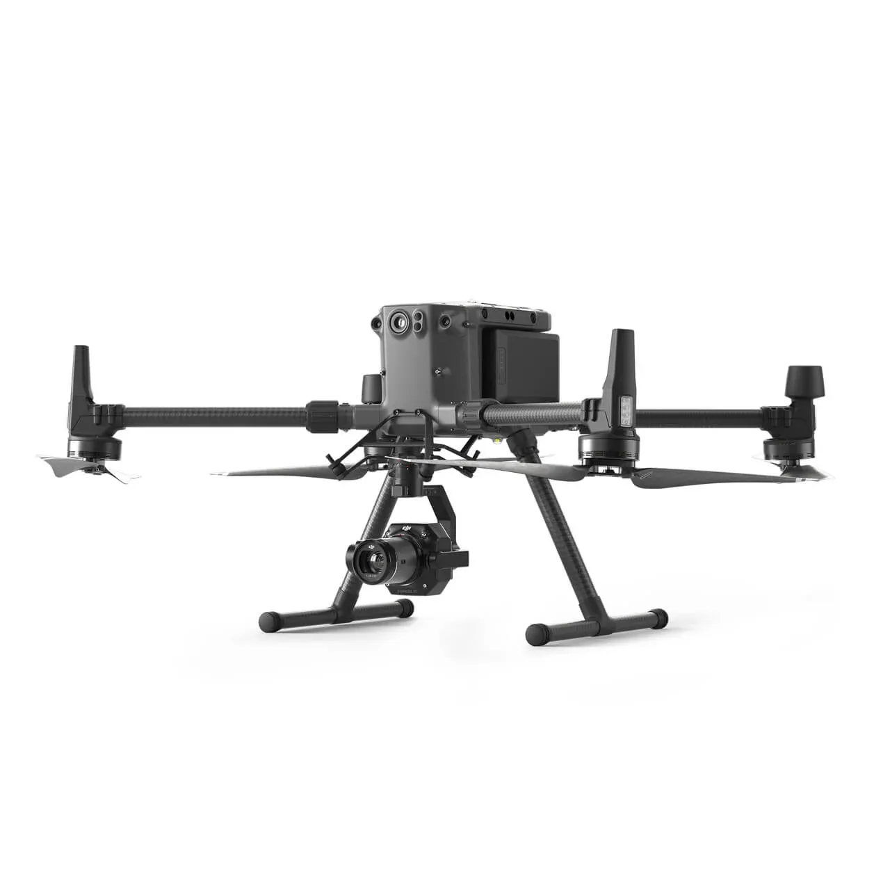
| Compatibility | DJI Matrice 300 RTK | Inspire 2 | Inspire 2 |
| Strengths | Enterprise-grade mapping accuracy, huge coverage | Cinema-quality video (6K RAW) | Cost-effective, lightweight option |
| Limitations | Higher cost, mapping-focused | Not designed for mapping/survey | Lower resolution, older tech |
Specifications
| Specification | Details |
|---|---|
| Sensor | 45 MP full-frame (35.9×24 mm), pixel size 4.4 µm |
| Accuracy (No GCPs) | H: 3 cm / V: 5 cm at 3 cm GSD, 75% front & 55% side overlap |
| Coverage | Up to 3 km² per flight |
| Shutter | Global mechanical: 1/2000 s – 1 s (mech), 1/8000 s – 1 s (electronic) |
| Capture Interval | 0.7 s per photo |
| Lens Support | DJI DL 24 mm, 35 mm, 50 mm fixed-focus lenses |
| Mount & Stabilization | 3-axis gimbal, detachable SkyPort mount |
| Synchronization | TimeSync 2.0 microsecond-level sync |
| Dimensions & Weight | 198×166×129 mm; ~800 g |
| Environmental Specs | IP4X; Operating: –20 °C to 50 °C |
| Video Mode | 1080p up to 60fps (only with 35 mm lens) |
FAQ's
1.What is Zenmuse P1 used for?
It is designed for aerial surveying, mapping, and 3D modeling with high accuracy and efficiency.
2. What is the resolution of Zenmuse P1?
It features a 45 MP full-frame sensor with 4.4 μm pixels for ultra-high-resolution imaging.
3. Does it require Ground Control Points (GCPs)?
In most cases, it reduces or eliminates the need for GCPs thanks to centimeter-level accuracy.
4. What drones is Zenmuse P1 compatible with?
It is designed for DJI enterprise drones like the Matrice 300 RTK.
5. How much area can it cover in one flight?
Up to 3 km² per flight under optimal conditions.
6. What is Smart Oblique Capture?
It automatically captures oblique images for 3D modeling and urban mapping.
7. How does it ensure data accuracy?
It integrates with RTK and records metadata in real-time for centimeter-level accuracy.
8. What industries can benefit from Zenmuse P1?
Surveying, agriculture, mining, construction, environmental monitoring, and disaster management.
9. What is the shutter type?
It uses a global mechanical shutter with a 1/2000s speed to minimize distortion.
10. Is it compatible with DJI Terra?
Yes, it works seamlessly with DJI Terra for automated mapping workflows.

Reviews
There are no reviews yet.