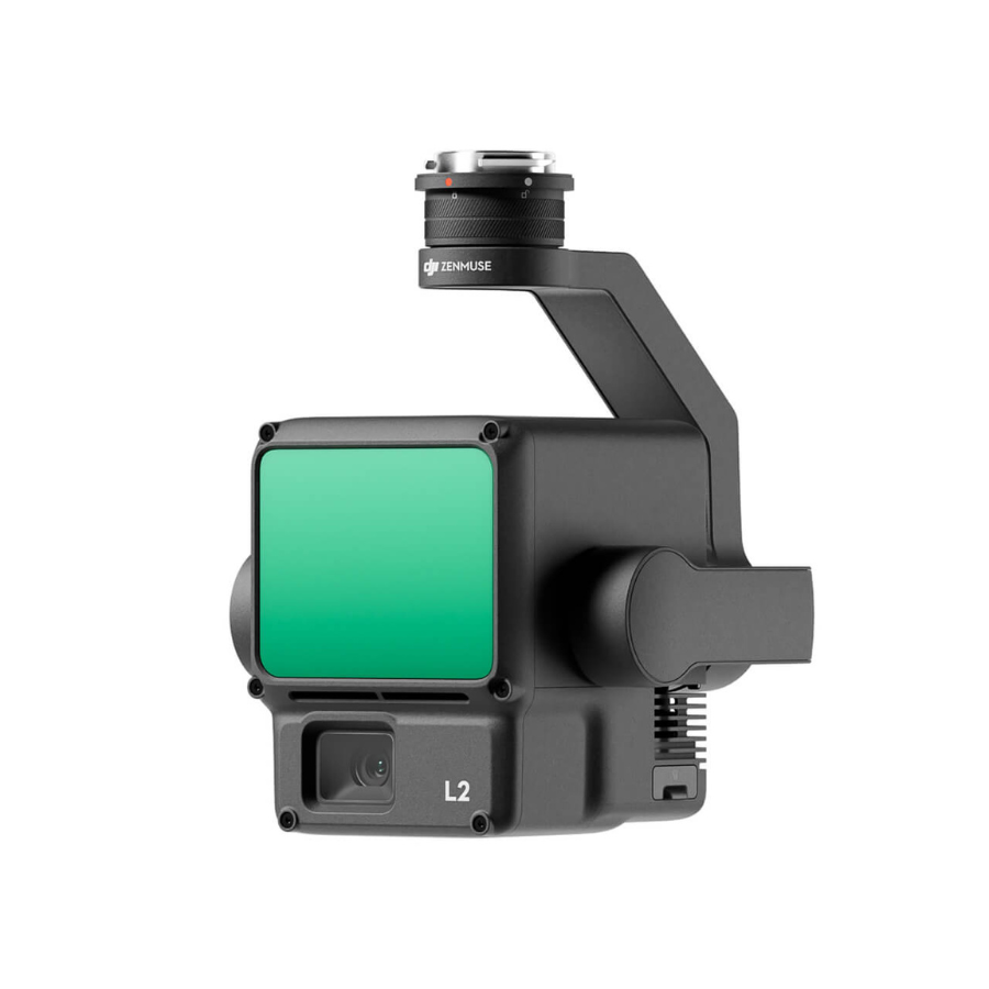
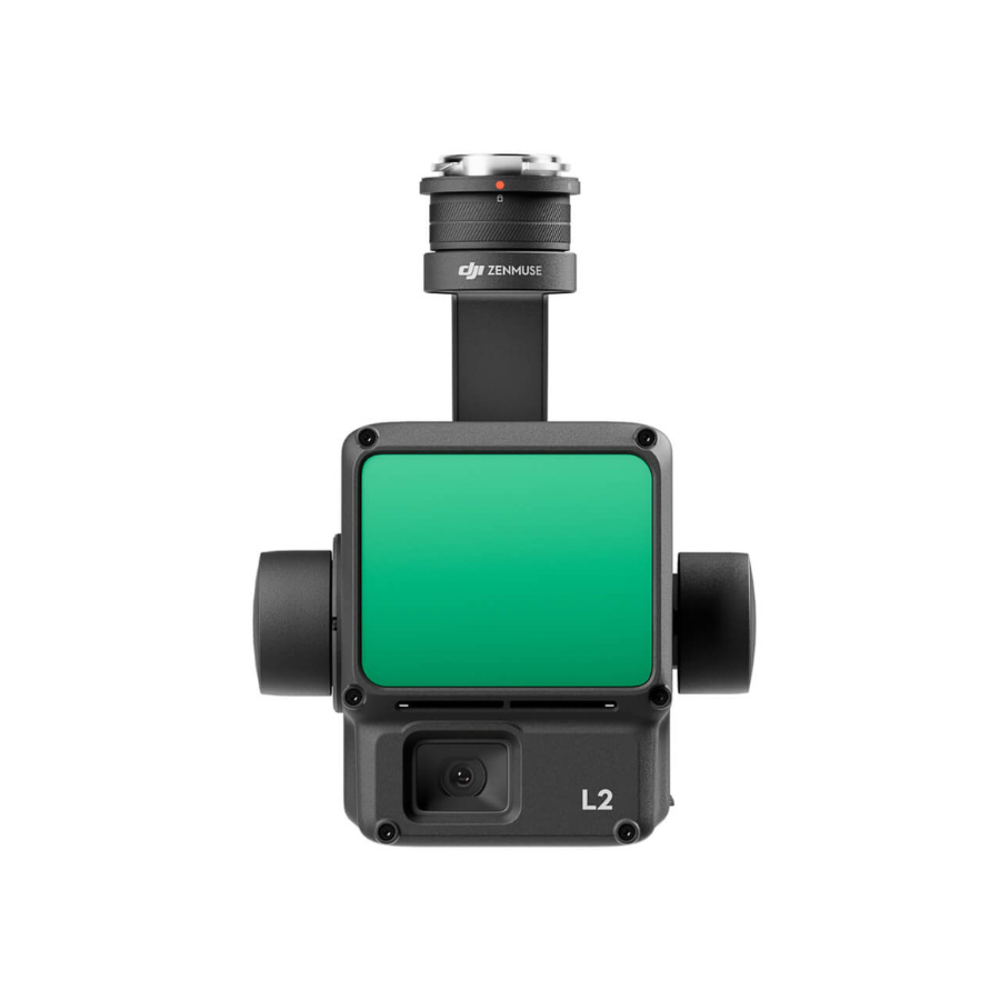
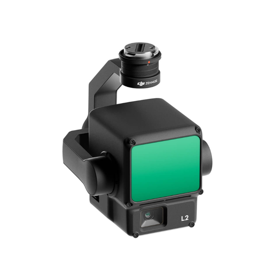
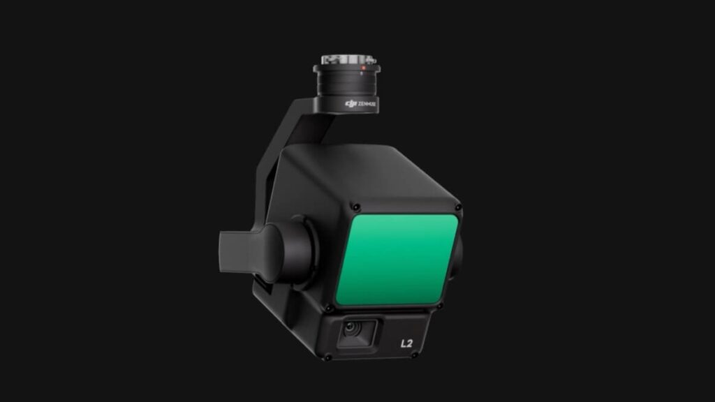
Zenmuse L2
The DJI Zenmuse L2 presents a highly integrated payload combining advanced LiDAR, a precision IMU, and a high-resolution RGB camera on a stabilized 3-axis gimbal. It delivers unmatched centimeter-level accuracy and efficiency, ideal for demanding aerial surveying, mapping, forestry, and infrastructure inspection missions

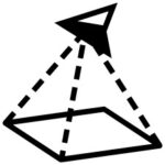
High Precision
Vertical Accuracy: 4 cm;
Horizontal Accuracy: 5 cm
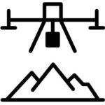
Exceptional Efficiency
Vertical Accuracy: 4 cm;
Horizontal Accuracy: 5 cm

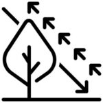
Superior Penetration
Vertical Accuracy: 4 cm;
Horizontal Accuracy: 5 cm
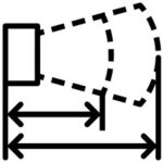
Detection Range
Vertical Accuracy: 4 cm;
Horizontal Accuracy: 5 cm
5 Returns
Turnkey Solution

Point Cloud LiveView

One-Click Processing on DJI Terra
Boasting enhanced detection—up to 450 m range, dense multi-return point clouds, and real-time point cloud visualization—L2 enables professionals to work smarter and safer. With instant IMU readiness and rugged build (IP54), it’s ready to power through tough environments right away.
The DJI Zenmuse L2 is a professional-grade aerial LiDAR and mapping solution designed to deliver centimeter-level precision for surveying, mapping, and inspection projects. Featuring a high-precision frame-based LiDAR module, a 4/3-inch CMOS RGB mapping camera, and an advanced high-accuracy IMU, the Zenmuse L2 provides vertical accuracy up to 4 cm and horizontal accuracy up to 5 cm, setting a new benchmark in aerial geospatial data collection.
With the ability to map up to 2.5 km² in a single flight, the L2 maximizes efficiency for large-scale operations. The laser’s smaller spot size and multi-return support (up to 5 returns) enable exceptional penetration through dense vegetation, capturing detailed ground structures even in challenging environments. Combined with real-time point cloud visualization, operators can immediately verify coverage and data quality during flight, reducing the need for repeat missions.
Built for tough conditions, the Zenmuse L2 has an IP54-rated dust and splash resistance body, allowing for all-weather operation. It requires no IMU warm-up time, enabling instant deployment and faster field operations. Paired with DJI Terra software, the L2 offers one-click point cloud processing, DEM generation, and automatic colorization for highly accurate, ready-to-use datasets—significantly cutting down post-processing time.
Whether you’re in land surveying, construction, forestry, mining, environmental monitoring, or infrastructure inspection, the DJI Zenmuse L2 delivers an all-in-one solution for high-accuracy, high-efficiency mapping. Compatible with DJI Matrice 300 RTK, Matrice 350 RTK, and Matrice 400 series, it’s the go-to choice for professionals who demand the best in aerial LiDAR technology.
Key Benifits
Unmatched Accuracy: Achieve 4 cm vertical and 5 cm horizontal precision.
Wide Coverage: Map up to 2.5 km² in one flight.
Advanced Vegetation Penetration: Smaller laser spot size with multi-return capability.
Instant Deployment: No IMU warm-up time.
Rugged Design: IP54-rated for dust and splash resistance.
Seamless Workflow: One-click point cloud processing in DJI Terra.
Versatile Applications: Ideal for surveying, forestry, mining, and infrastructure.
Specifications
| Specification | Details |
|---|---|
| Weight | 905 ± 5 g |
| Dimensions | 155 × 128 × 176 mm |
| IP Rating | IP54 |
| Operating Temperature | –20 °C to 50 °C |
| Supported Aircraft | Matrice 300 RTK, Matrice 350 RTK |
| Detection Range | Up to 450 m (50% reflectivity) |
| Point Cloud Rate | Up to 1,200,000 pts/s |
| Accuracy | Horizontal: 5 cm @ 150 mVertical: 4 cm @ 150 m |
| Max Returns | 5 |
| RGB Camera Sensor | 4/3″ CMOS, 20 MP |
| FOV / Aperture | 84° / f2.8–f11 |
| Lens Equivalent | 24 mm |
FAQ's
1. What is the DJI Zenmuse L2 used for?
The Zenmuse L2 is a high-precision LiDAR payload for drones, designed for surveying, 3D mapping, forestry analysis, and infrastructure inspection.
2. Is the Zenmuse L2 weather-resistant?
It is rated IP54, meaning it can withstand dust and light rain, making it suitable for most outdoor operations.
3. Do I need special software to process Zenmuse L2 data?
DJI recommends using DJI Terra for post-processing point cloud and RGB imagery. Data can also be exported for use in other GIS and CAD software.
4. How easy is it to set up the Zenmuse L2?
It’s a plug-and-play payload for compatible DJI drones—mount it to the gimbal port, connect necessary cables, and you’re ready to fly.
5. How long does it take to collect survey data with the L2?
Under optimal conditions, the L2 can cover up to 2.5 km² per flight, greatly reducing time spent on-site.
6. Is the Zenmuse L2 suitable for urban mapping?
Yes. Its high point density and accuracy make it ideal for capturing detailed building facades, roads, and infrastructure layouts.
7. Can the L2 be used at night?
Yes. LiDAR technology is not dependent on ambient light, so the L2 can operate day or night without loss of accuracy.
8. What industries benefit most from the L2?
Common applications include construction, mining, forestry, agriculture, utilities, and environmental monitoring.
9. What SD card specs are recommended?
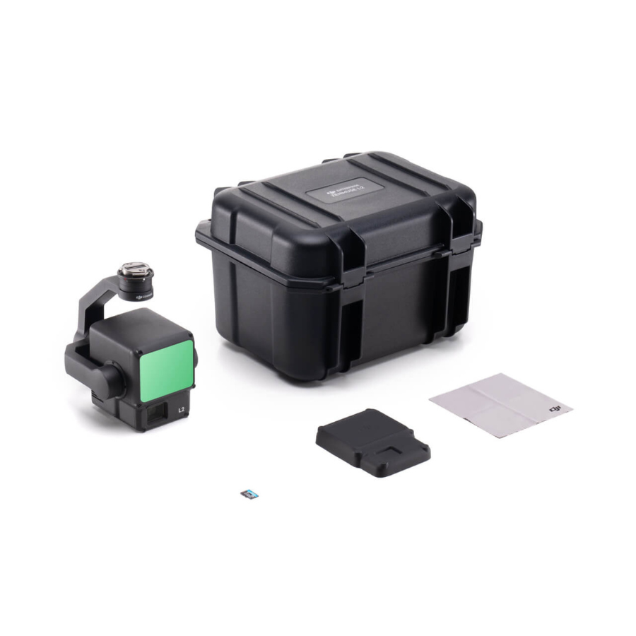
Use a UHS-I Speed Grade 3 microSD card with sequential write speeds of at least 50 MB/s, supporting up to 256 GB. Recommended models include:
- Lexar 1066x (64–256GB)
- Kingston Canvas Go! Plus 128 GB
10. What enhancements does the L2 offer over the Zenmuse L1?
- Approximately 5× smaller LiDAR spot size at 100 m
- Enhanced detection range and accuracy
- RGB sensor pixel size increased by ~89% over L1
- Better IMU performance (real-time and post-processed accuracy)
- No IMU warm-up required before use
- Includes laser rangefinder capability


Reviews
There are no reviews yet.