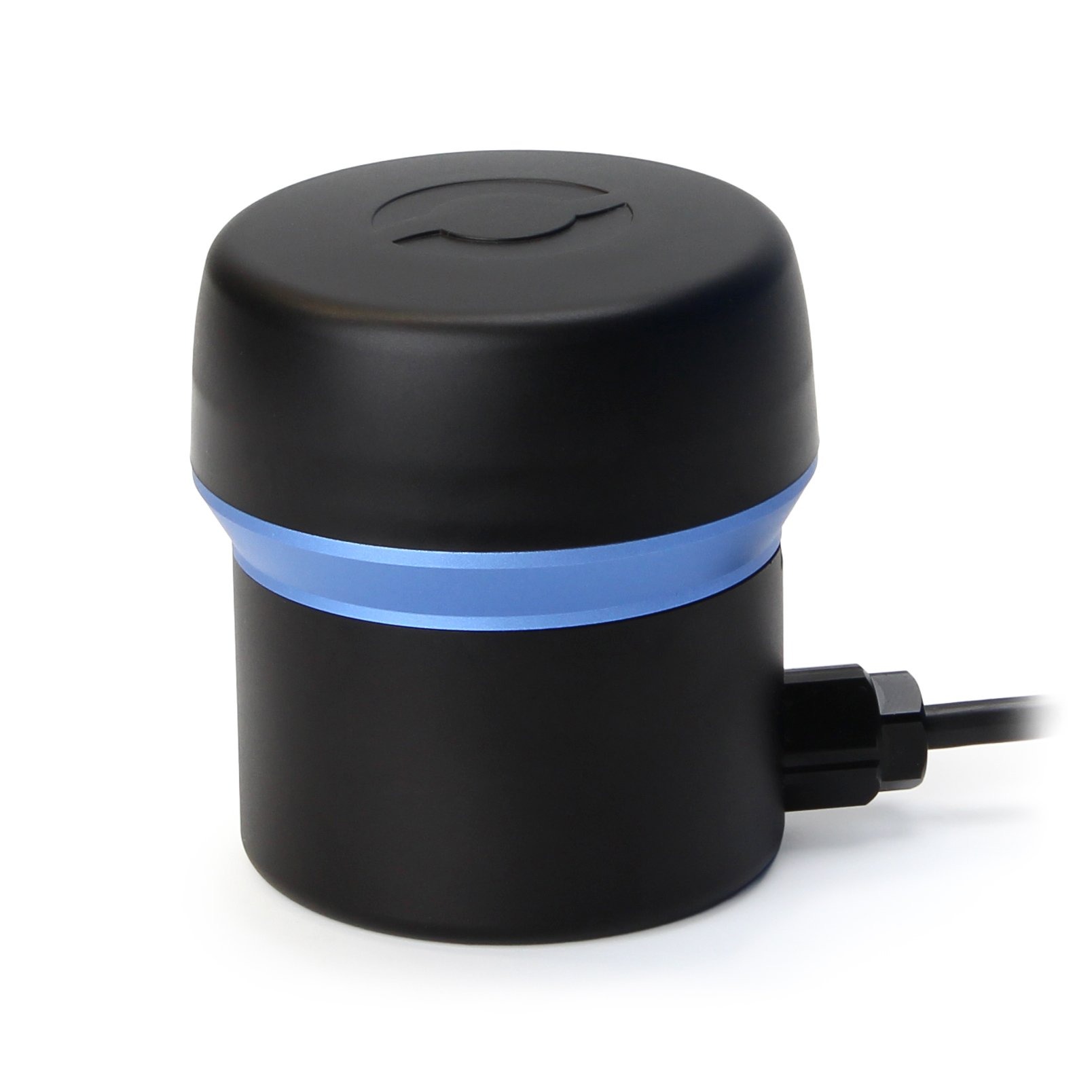
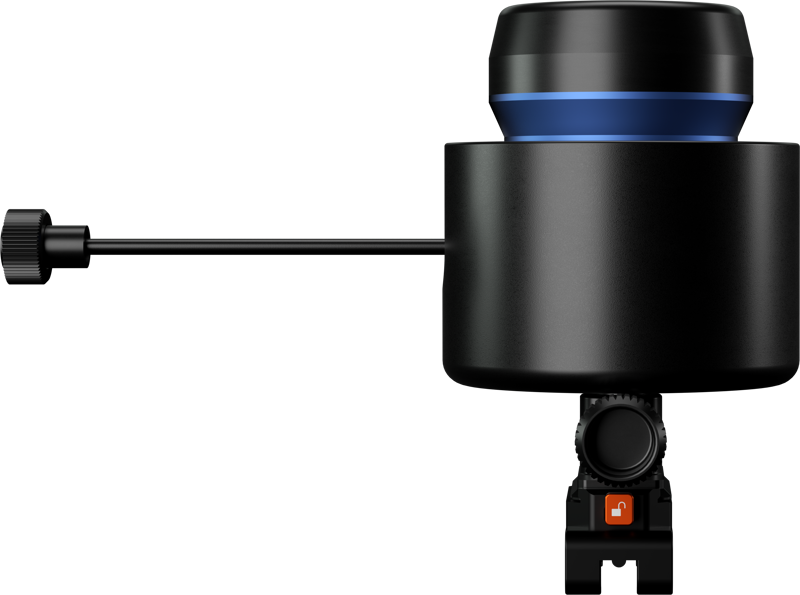
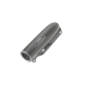
PING 360 SONAR
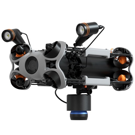
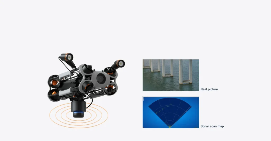
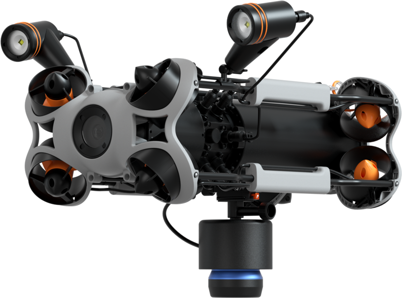
Ping 360 Sonar Kit brings industrial-grade, mechanical scanning sonar to CHASING M2 Pro and Pro Max drones—built for murky waters and beyond. It delivers a full 360° acoustic panorama, from as close as 0.75 m to as far as 50 m, with clarity that persists down to 300 m depth. With pinpoint resolution—just 1.6 mm at 2 m—it excels at obstacle detection, target localization, and mapping underwater structures
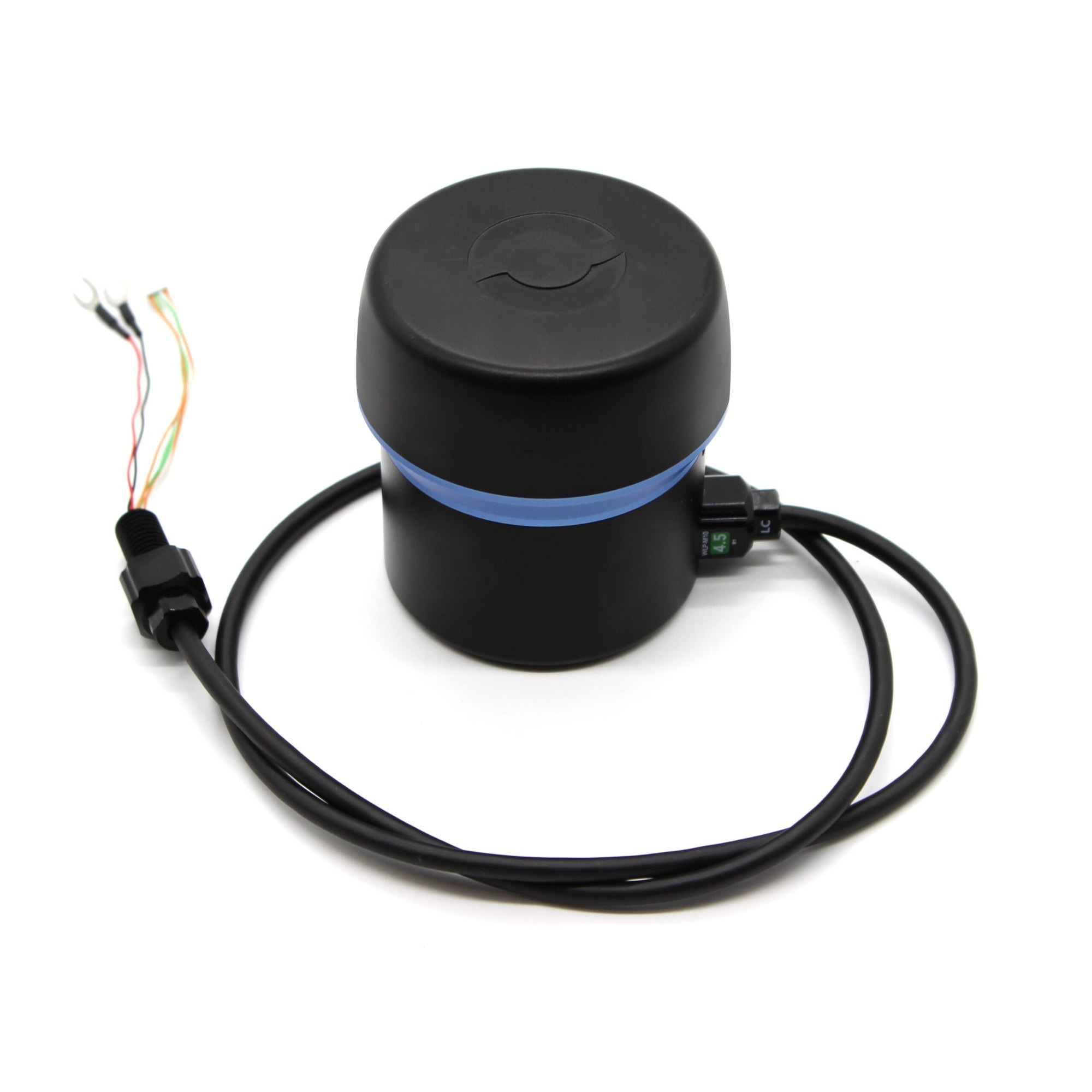
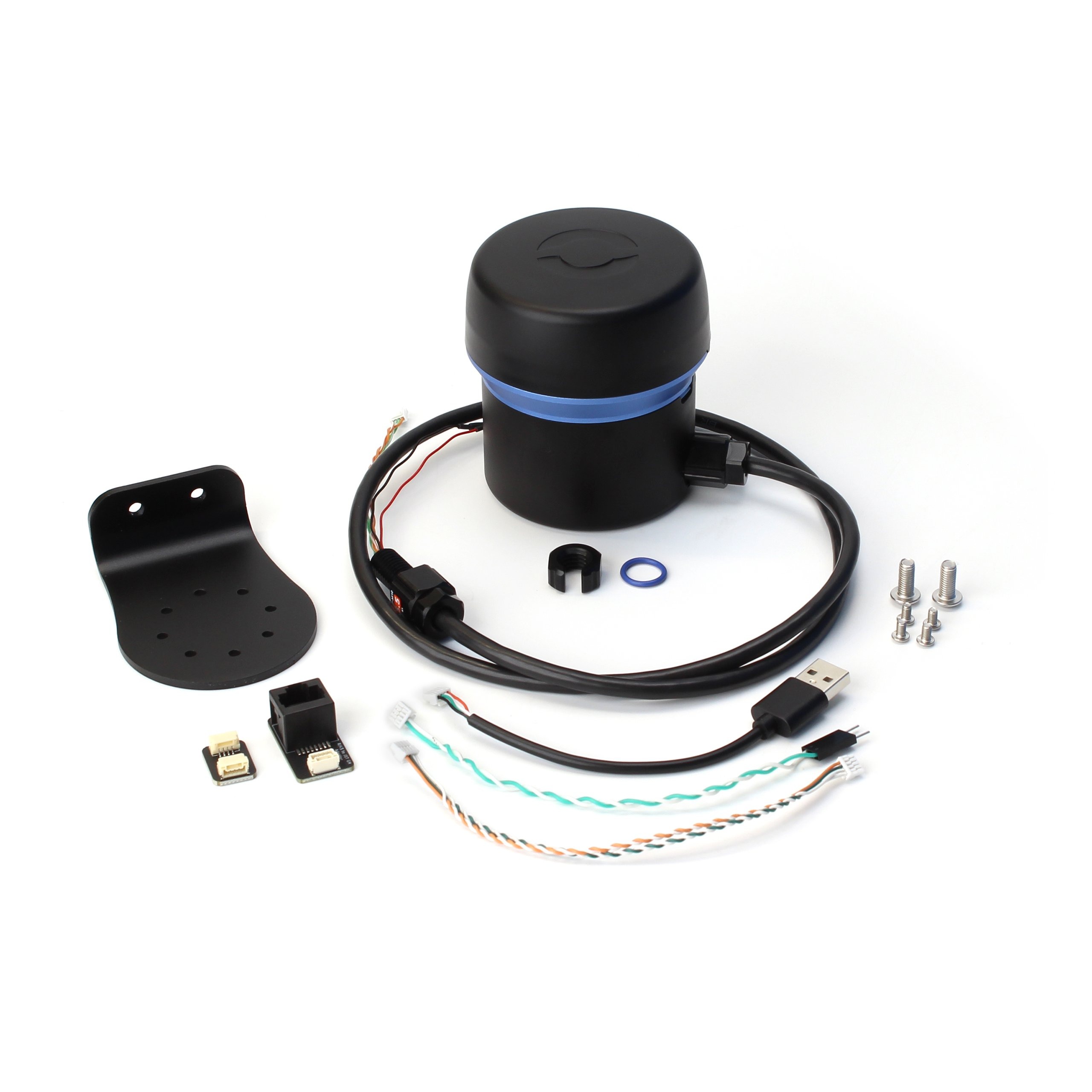
The PING 360 SONAR accommodates three communication methods—USB (default), RS-485, and Ethernet—all achieved by simple internal wiring changes. This flexibility makes it a seamless addition to various electronics architectures. Whether enhancing ROV navigation, conducting structural inspections, automating underwater mapping, or bolstering obstacle-avoidance systems, the PING360 stands out as a rugged, reliable, and accessible solution backed by an active open-source ecosystem.
Advanced Sonar Imaging & Depth Resilience
The PING 360 SONAR is a precision scanning sonar capable of reaching 50 m in range and diving up to 300 m, making it suitable for both shallow surveys and deep-sea operations. Its rotating transducer sweeps across 360°, generating high-definition acoustic imagery that’s not only highly detailed but resistant to visibility limitations like turbidity or darkness.
Versatility in Underwater Environments
Wildlife surveys, structural inspections, or navigation through confined spaces— PING 360 SONAR excels in all. By detecting echoes from objects like ropes, wrecks, or seabed structures, pilots and automated systems can orient themselves effectively even when cameras fail. This makes it indispensable for low-visibility operations, research, and marine infrastructure maintenance
Flexible Communication Interfaces
Whether you prefer USB, RS-485, or Ethernet, the PING 360 SONAR supports all—chosen via wiring. USB is straightforward; Ethernet enables networked setups and multi-device integration. Switching modes is hardware-only, preserving simplicity and flexibility.
Well-Suited to R&D & Advanced Applications
Beyond navigation, researchers have evaluated the sonar’s use in AI-based object detection. Though it’s an affordable single-beam unit, limitations like noise and shadowing require preprocessing and careful annotation to enable reliable detection in cluttered environments
Specifications
| Feature | Specification |
|---|---|
| Compatible Models | CHASING M2 Pro, M2 Pro Max |
| Range | 0.75 m – 50 m (2.5 ft – 165 ft) |
| Depth Rating | Up to 300 m (984 ft) |
| Resolution (2 m) | 1.6 mm (0.06″) |
| Resolution (50 m) | 41 mm (1.61″) |
| Beamwidth (H × V) | 2° horizontal, 25° vertical |
| Scan Speed | 9 s/360° @ 2 m; 35 s/360° @ 50 m |
| Control Software | Open-source via Ping-Viewer |
| Core Applications | Navigation, inspection, obstacle avoidance, targeting |
FAQ's
- PING 360 SONAR is compatible with which drones?
Only CHASING M2 Pro and Pro Max models. - What is the scanning range?
From 0.75 m (2.5 ft) to 50 m (165 ft). - How deep can PING 360 SONAR operate?
Up to 300 m (984 ft) depth. - What is its resolution?
Approximately 1.6 mm at 2 m, and about 41 mm at 50 m. - How wide is its sonar beam?
2° horizontally and 25° vertically. - How fast does PING 360 SONAR scan?
Full 360° takes ~9 s at 2 m, ~35 s at 50 m. - What software controls it?
Open-source Ping-Viewer, available for customization and data visualization. - How is PING 360 SONAR useful?
Ideal for ROV navigation, obstacle avoidance, structure inspections, tracking, and underwater research. - Can scan parameters be customized?
Yes—via open-source tools, users can tweak settings as needed. - Why choose PING 360 SONAR?
A cost-effective, rugged, high-resolution sonar solution—especially great under low-visibility conditions.

Reviews
There are no reviews yet.