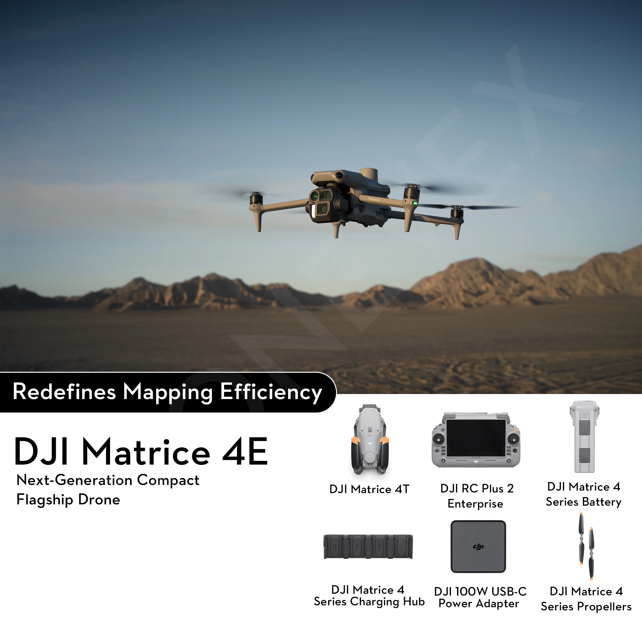
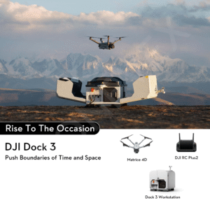
DJI Matrice 4E
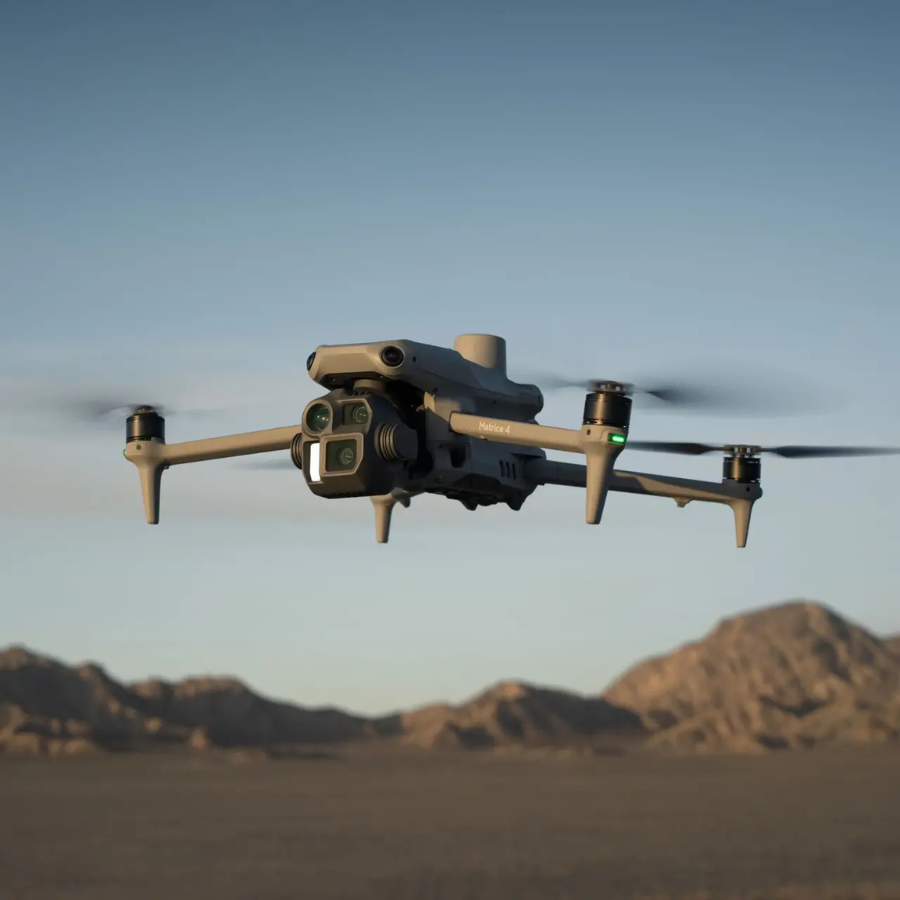
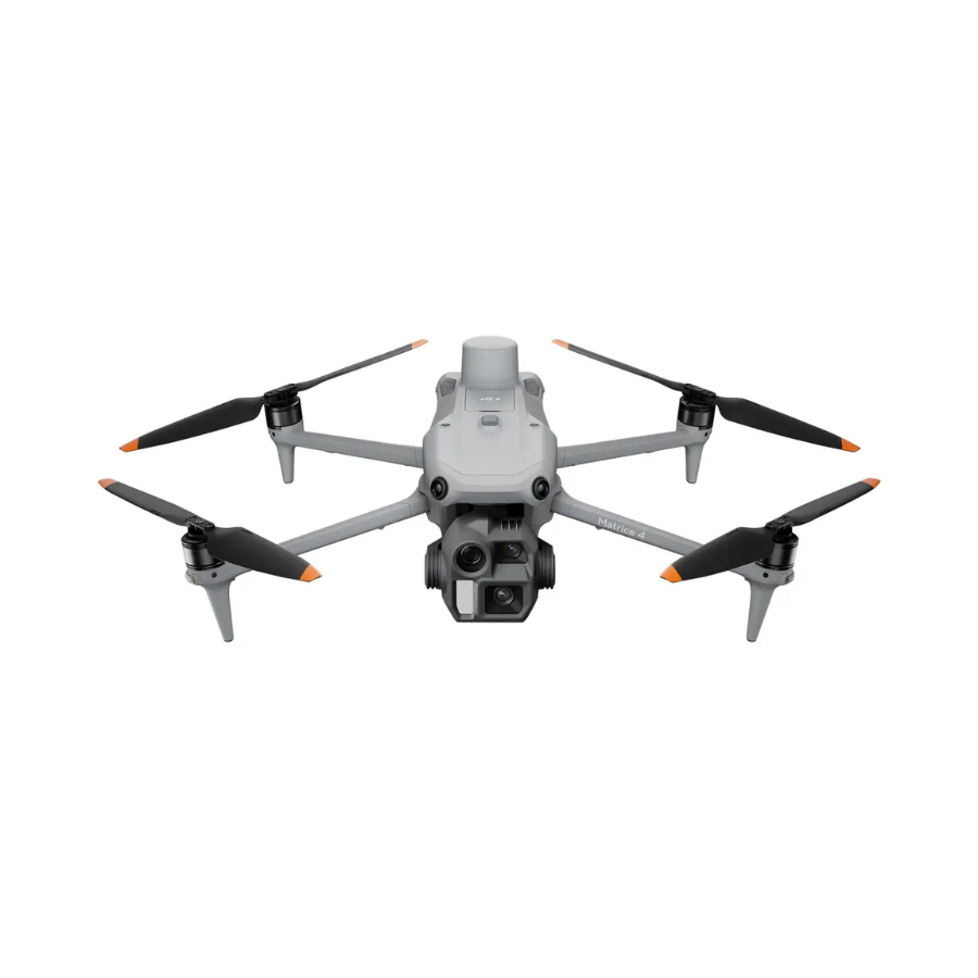
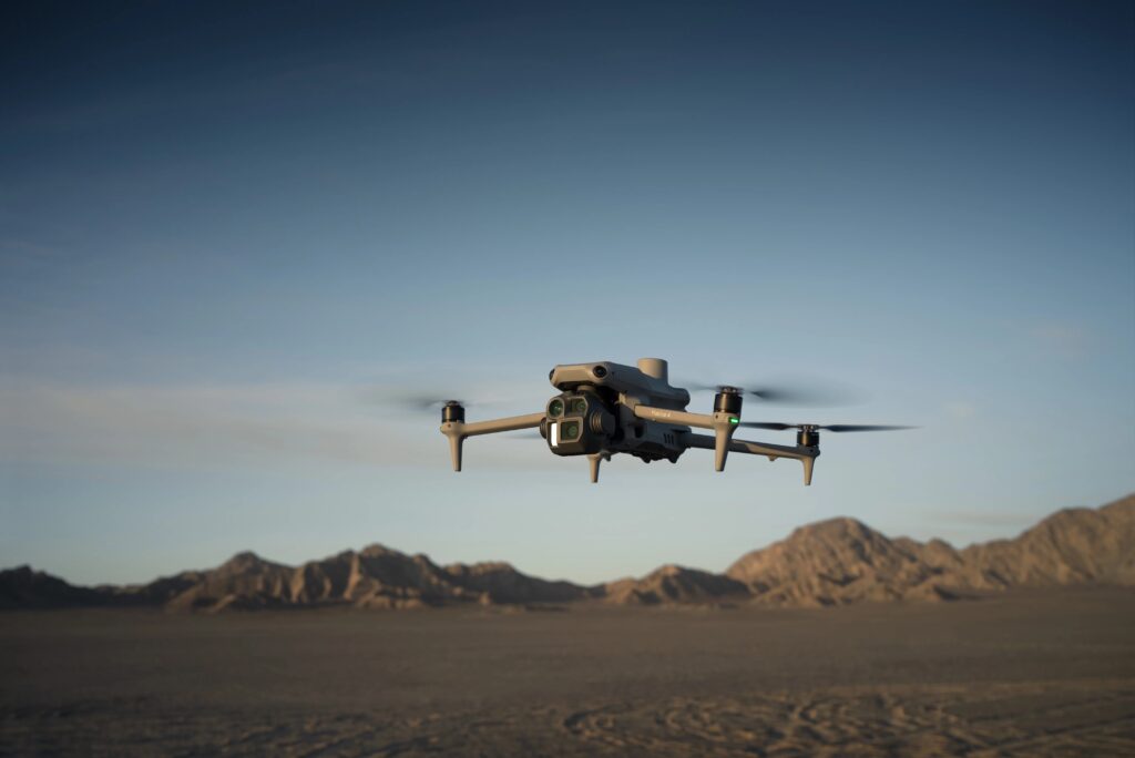
The DJI Matrice 4E is an enterprise-grade drone designed to deliver precision, reliability, and efficiency across professional applications. Equipped with a high-resolution wide-angle camera, laser rangefinder, and advanced flight systems, it excels in tasks such as mapping, surveying, infrastructure inspections, and emergency response. With extended flight times, robust transmission range, and intelligent mission planning, the Matrice 4E provides industries with a cost-effective yet powerful aerial solution.
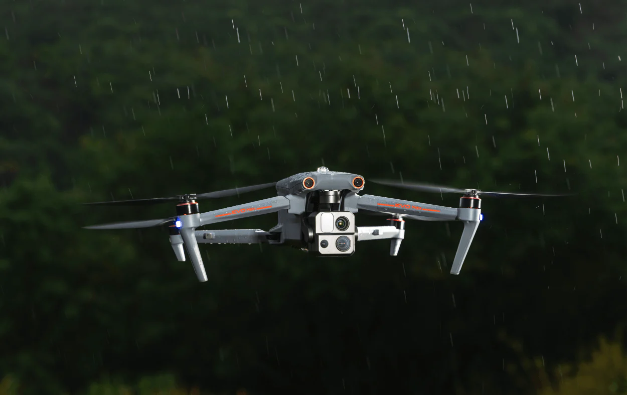
Built with enterprise needs in mind, the DJI Matrice 4E offers a rugged design and advanced obstacle sensing to ensure safe and reliable operation even in complex environments. Its intelligent flight features and seamless integration with DJI’s software ecosystem make it an indispensable tool for professionals seeking accurate data, streamlined workflows, and dependable performance in the field.
The DJI Matrice 4E is designed as a next-generation enterprise drone that balances powerful imaging, advanced flight performance, and portability. Its robust engineering makes it a reliable solution for organizations that require consistent aerial data without compromise. Whether operating in challenging terrain, harsh weather, or demanding environments, the Matrice 4E delivers with accuracy and confidence.
What sets the DJI Matrice 4E apart is its fusion of intelligent technology with practical usability. It’s built to reduce human risk while enhancing efficiency, offering operators the ability to capture actionable insights quickly and safely. From wide-area surveys to focused inspections, it adapts seamlessly, ensuring professionals spend less time in the field while gaining more reliable data.
Beyond being a high-tech tool, the Matrice 4E represents a step forward in enterprise-grade aerial solutions. It empowers industries to move from traditional, time-consuming methods to faster, smarter, and safer workflows. With its blend of cutting-edge sensors, rugged design, and seamless integration into existing operations, the Matrice 4E isn’t just a drone—it’s a trusted partner in precision, safety, and innovation.
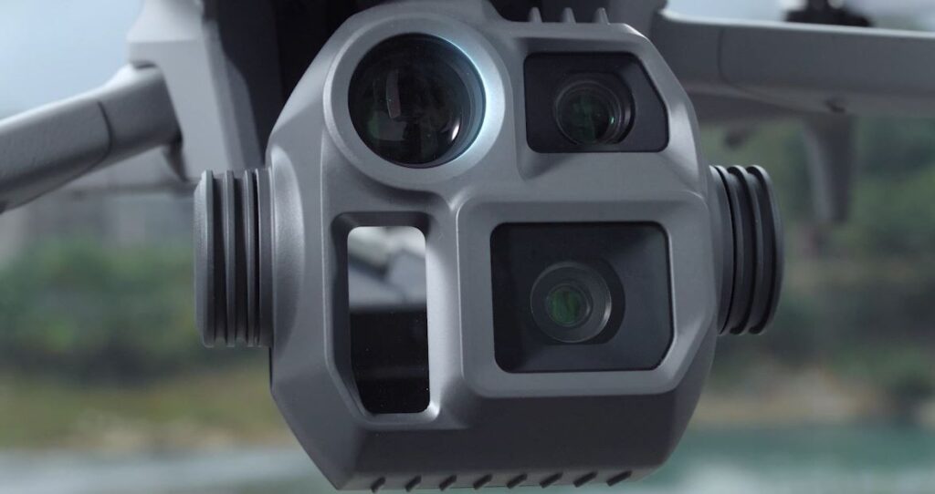
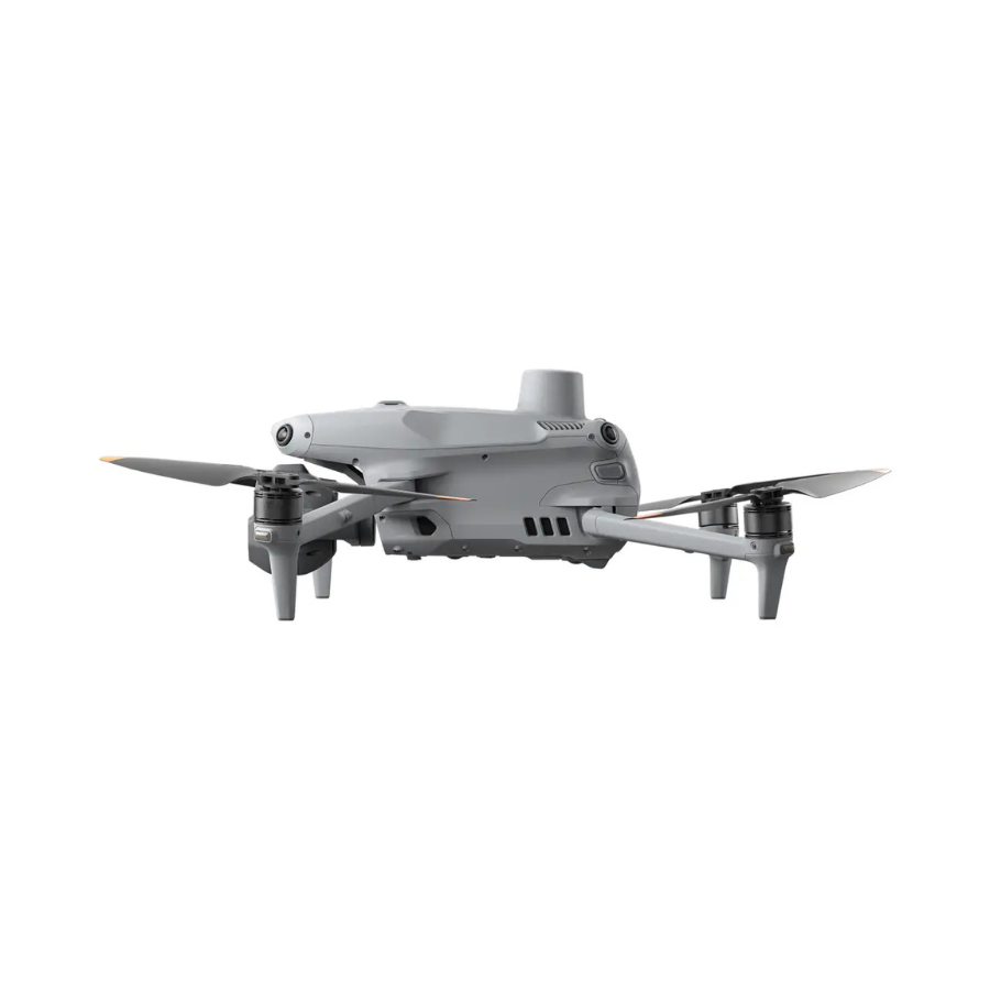
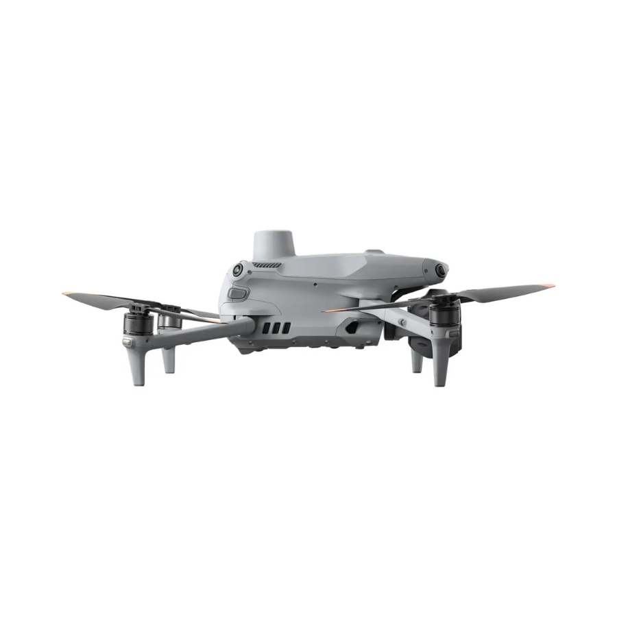
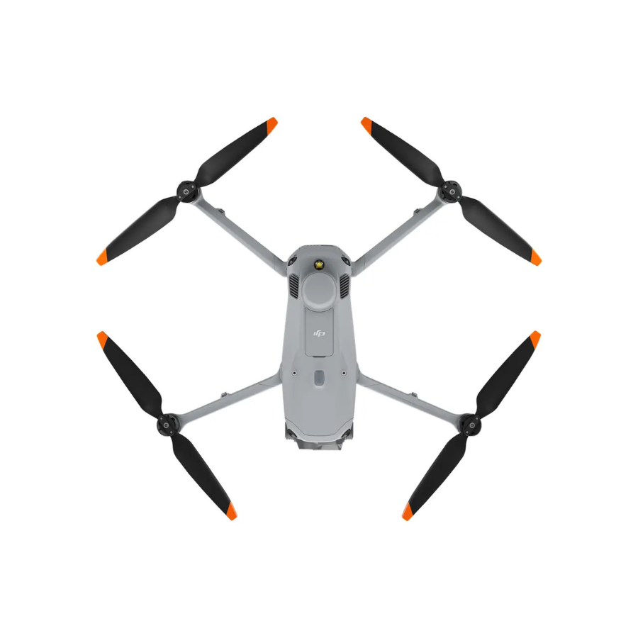
The DJI Matrice 4E combines advanced imaging with powerful flight performance, making it an ideal choice for industries that require accurate mapping, surveying, and real-time data collection. Its wide-angle camera and laser rangefinder provide detailed visuals and precise measurements, helping teams make smarter, faster decisions.
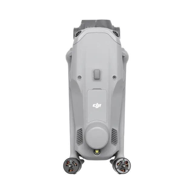
Designed for reliability, the DJI Matrice 4E features extended flight times, stable transmission, and robust obstacle sensing to ensure safe and efficient operations. Compact and portable, it can be deployed quickly across multiple sites, delivering consistent results in even the most challenging environments.
Use Cases
Mapping & Surveying: Capture ultra-high-resolution aerial imagery and generate accurate 2D and 3D maps for construction, mining, land management, and agriculture. The Matrice 4E’s advanced cameras and precision sensors enable detailed topographic data collection for informed decision-making.
Infrastructure Inspection: Monitor powerlines, wind turbines, pipelines, bridges, and towers with enhanced safety and precision. The drone reduces manual inspection risks while delivering clear visual and thermal data for predictive maintenance.
Public Safety & Emergency Response: Support search-and-rescue missions, disaster assessments, and rapid deployment scenarios. With advanced imaging, obstacle sensing, and real-time transmission, responders can locate and assist individuals even in low-light or challenging conditions.
Environmental Monitoring: Track deforestation, crop health, forestry conditions, and water resources with consistent aerial insights. The drone helps governments, NGOs, and researchers monitor ecological changes and support conservation efforts.
Urban Planning & Smart Cities: Provide city planners and engineers with accurate geospatial data for infrastructure development, road networks, and smart city projects. Helps in efficient design, project management, and future-proof urban solutions.
Utility & Energy Sector: Enhance operational efficiency in solar farms, wind farms, and power grids by detecting faults, optimizing energy production, and ensuring safety compliance through precise aerial inspections.
Features of DJI Matrice 4E
| Feature | Description |
|---|---|
| High-Resolution Wide-Angle Camera | Captures sharp, detailed imagery for mapping, surveying, and inspection tasks. |
| Integrated Laser Rangefinder | Measures distances up to 1,200 m for precise positioning and target identification. |
| Extended Flight Time | Offers up to 50+ minutes of flight duration depending on payload, maximizing mission efficiency. |
| Stable Transmission | O3 Enterprise transmission system ensures reliable connectivity over long distances. |
| Intelligent Flight Modes | Automated mapping, route planning, and smart tracking features streamline complex missions. |
| Advanced Obstacle Sensing | Multi-directional sensors enhance safety in challenging environments. |
| Rugged Design | Weather-resistant build ensures reliable operation in varied conditions. |
| Seamless Software Integration | Compatible with DJI Pilot 2 and DJI Terra for mission planning and data analysis. |
| Precision GNSS Positioning | Provides centimeter-level accuracy for professional surveying and inspection work. |
| Portable and Efficient | Compact design allows quick deployment and easy transport across multiple job sites. |
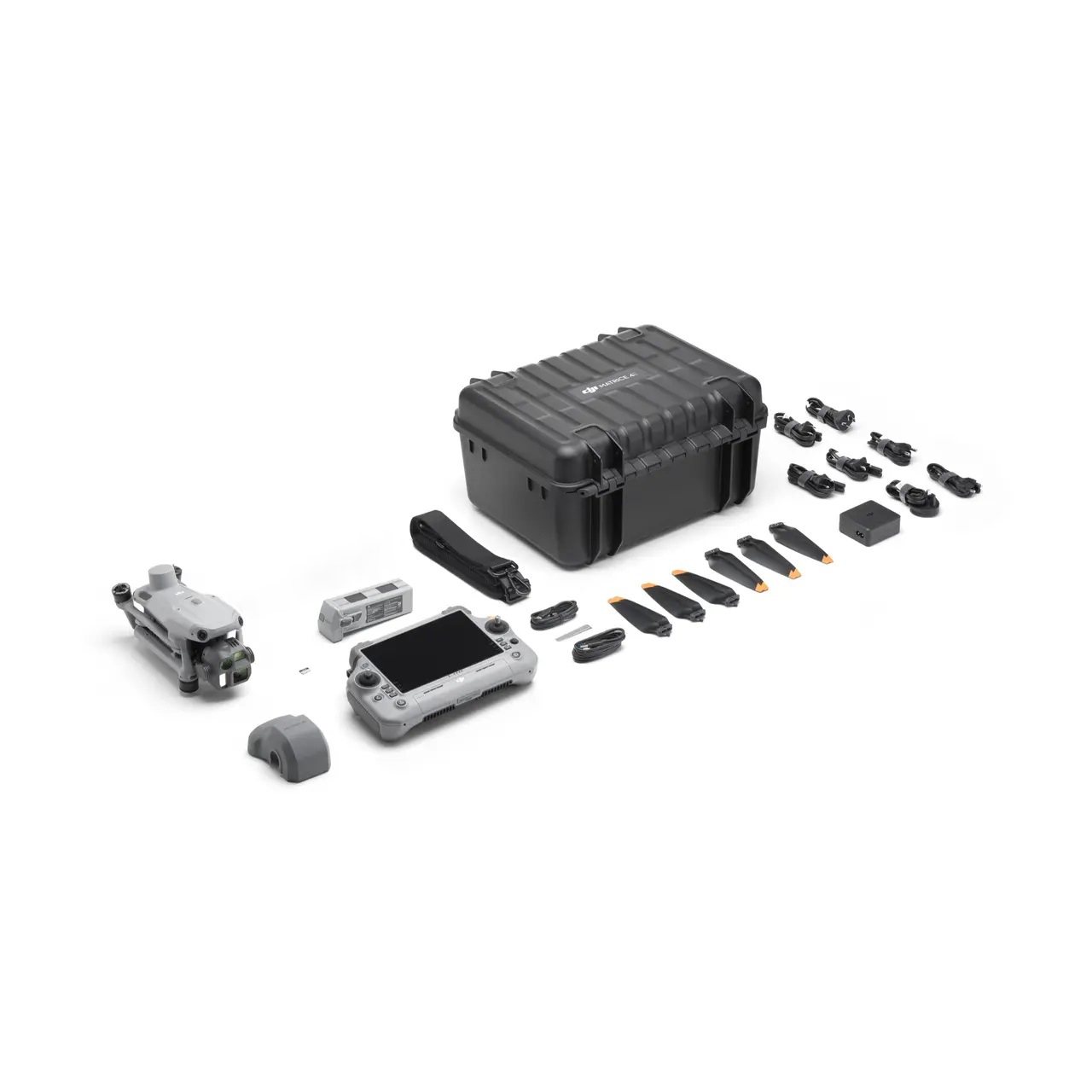
In the Box
DJI Matrice 4E × 1
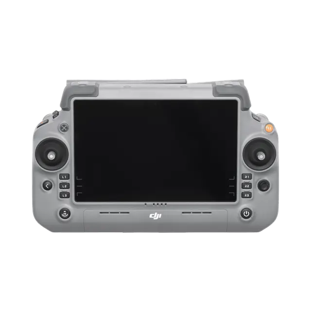
DJI RC Plus 2 Enterprise× 1
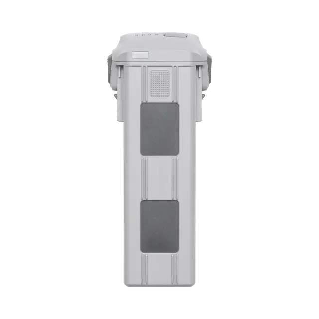
DJI Matrice 4 Series Battery×1
DJI 100W USB-C Power Adapter× 1
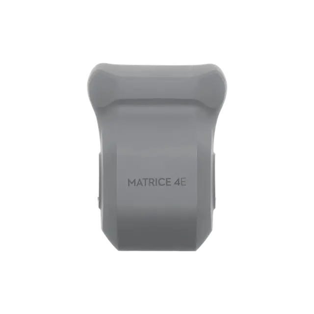
DJI Matrice 4E Gimbal Protector× 1
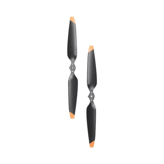
DJI Matrice 4 Series Propellers × 3
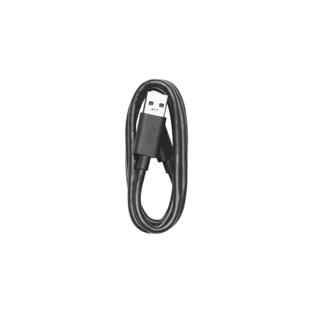
USB-A to USB-C Data Cable × 1
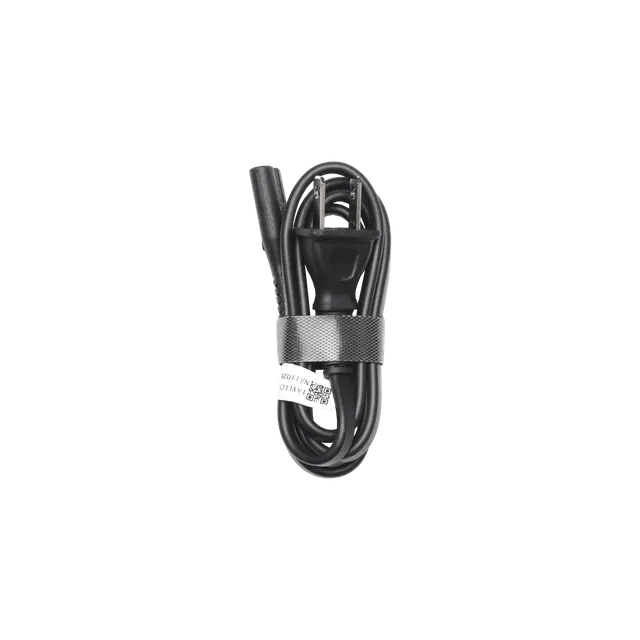
100W Power Adaptor AC Cable × 1
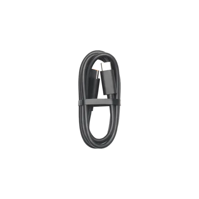
USB-C to USB-C Data Cable × 1
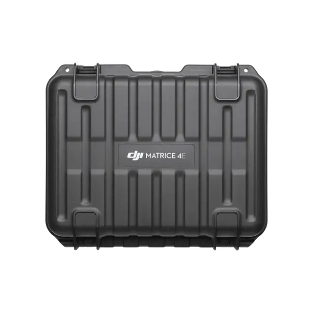
DJI Matrice 4 Series Storage Case × 1
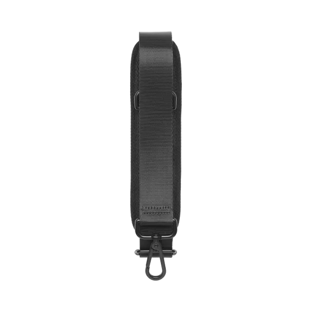
DJI Matrice 4 Series Storage Case Shoulder Strap × 1
Specifications
Specifications
General Specifications
| Feature | Specification |
|---|---|
| Takeoff Weight | Approx. 1063 g |
| Folded Dimensions | 124.8 × 106.6 × 257.6 mm |
| Unfolded Dimensions | Not officially stated |
| Max Takeoff Altitude | 6000 m |
| GNSS | GPS + Galileo + BeiDou |
| Internal Storage | 512 GB SSD (Approx. 460 GB usable) |
Flight Performance
| Feature | Specification |
|---|---|
| Max Ascent Speed | 10 m/s |
| Max Descent Speed | 10 m/s |
| Max Horizontal Speed | 27 m/s |
| Max Flight Time | Up to 51 mins |
| Max Wind Resistance | 12 m/s |
| Max Transmission Range | 30 km (FCC) |
Operating Conditions
| Feature | Specification |
|---|---|
| Operating Temperature | -10 °C to 40 °C |
Camera & Imaging
| Feature | Specification |
|---|---|
| Wide Camera | 4/3″ CMOS, 100 MP, f/2.0–f/11 |
| Medium Telephoto | 1/1.3″ CMOS, 48 MP, f/2.8, 70 mm |
| Long Telephoto | 1/1.5″ CMOS, 50 MP, f/2.8, 168 mm |
| Zoom Capability | 3x optical / 28x hybrid |
Photography & Video
| Feature | Specification |
|---|---|
| Video Resolutions | 6K @ 60fps (wide), 4K @ 60fps (telephotos) |
| Photo Formats | JPEG, DNG (RAW) |
| Video Formats | MP4 (H.264/H.265), All‑I 10-bit 4:2:2 |
| Max Bitrate | Up to 1200 Mbps (wide), 180 Mbps (tele) |
| Color Profiles | D-Log M, HLG |
Stabilization & Sensing
| Feature | Specification |
|---|---|
| Gimbal | Infinity 3-axis, 360° rotation, 70° tilt |
| Obstacle Sensing | Omnidirectional + LiDAR + Night Vision |
Connectivity
| Feature | Specification |
|---|---|
| Transmission System | O4+ 10-bit HDR |
| Controller Display | 7″ mini-LED, 2000-nit (DJI RC Pro 2) |
Battery & Charging
| Feature | Specification |
|---|---|
| Included Batteries | 1× Intelligent Flight Batteries |
| Charging Hub | Parallel hub with power bank function |
| Charger | 240W fast charger |
| ND Filters | ND4, ND8, ND16, ND32, ND64 |
FAQs
What is the DJI Matrice 4E used for?
Primarily, the DJI Matrice 4E is designed for professional applications such as mapping, surveying, inspections, and search and rescue operations.
What is the camera quality of the DJI Matrice 4E?
Notably, it features a 4/3-inch CMOS sensor with 20 MP resolution and 56x hybrid zoom for clear, high-quality images.
How long can the DJI Matrice 4E fly on a single charge?
Under optimal conditions, it can fly for up to 49 minutes, depending on factors like wind and payload.
Can the drone handle harsh weather?
Yes, it can; in fact, it operates reliably in temperatures from -10°C to 40°C and is highly wind-resistant.
How accurate is the drone’s navigation system?
Thanks to its advanced GNSS and RTK integration, it offers highly accurate positioning and navigation.
What kind of payloads can it carry?
Moreover, the Matrice 4E supports multiple payloads, making it flexible for a variety of mission types.
How fast can it fly?
Impressively, it can reach speeds of up to 21 meters per second (approximately 75 km/h).
Does it have smart flying features?
Absolutely, it includes intelligent flight modes like waypoints, terrain follow, Cruise, Smart Track, POI, and more.
Can the drone recognize objects automatically?
Yes, in addition, it is equipped with AI-powered recognition to identify vehicles, vessels, and people during flights.

Reviews
There are no reviews yet.