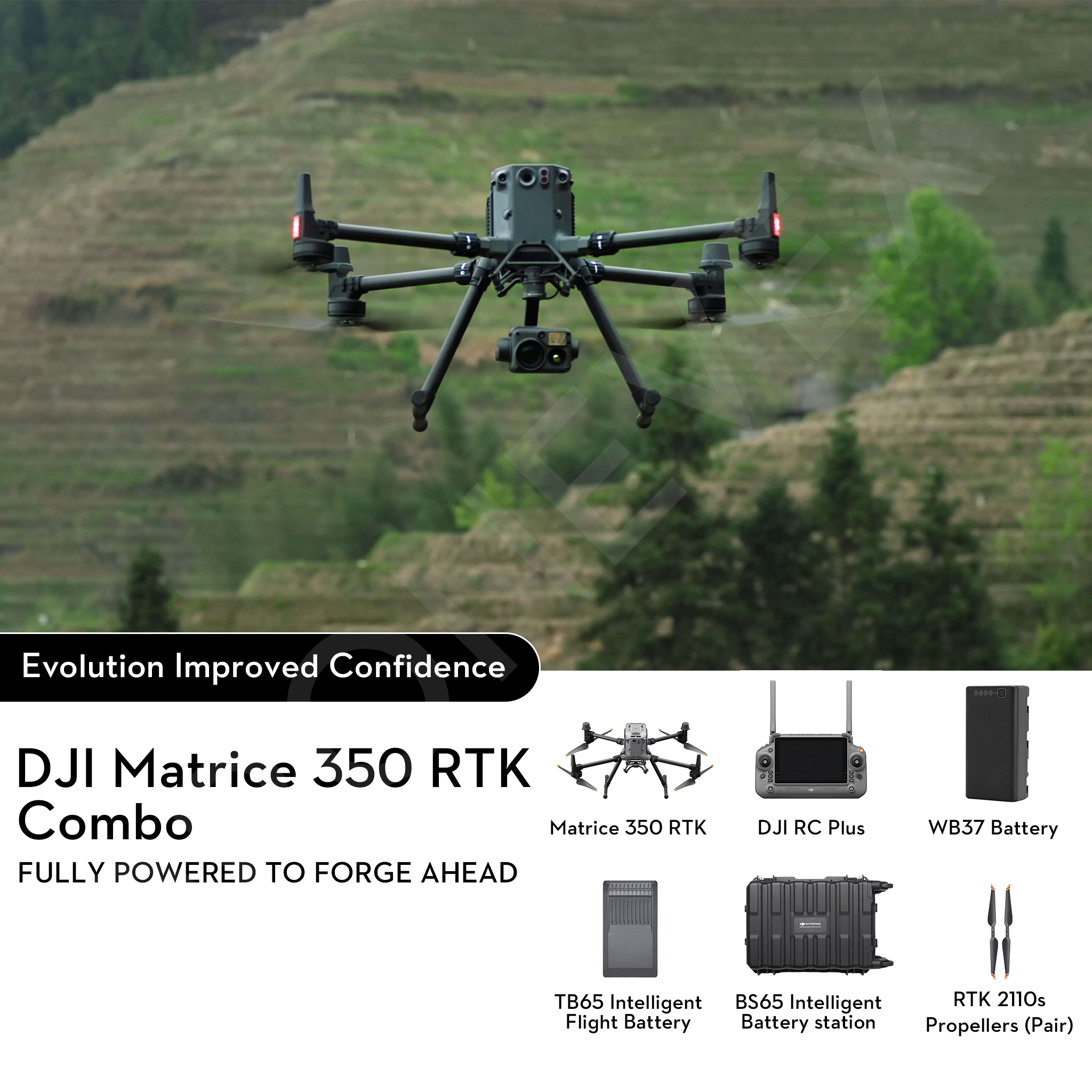
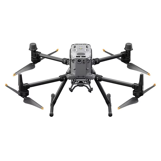

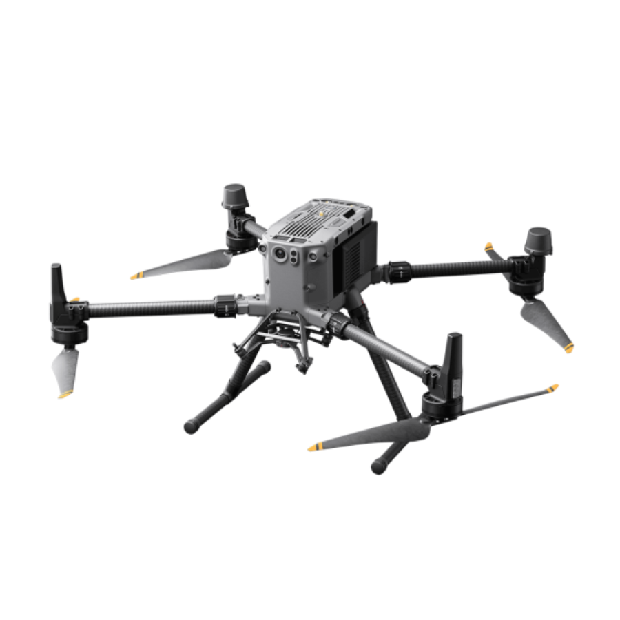
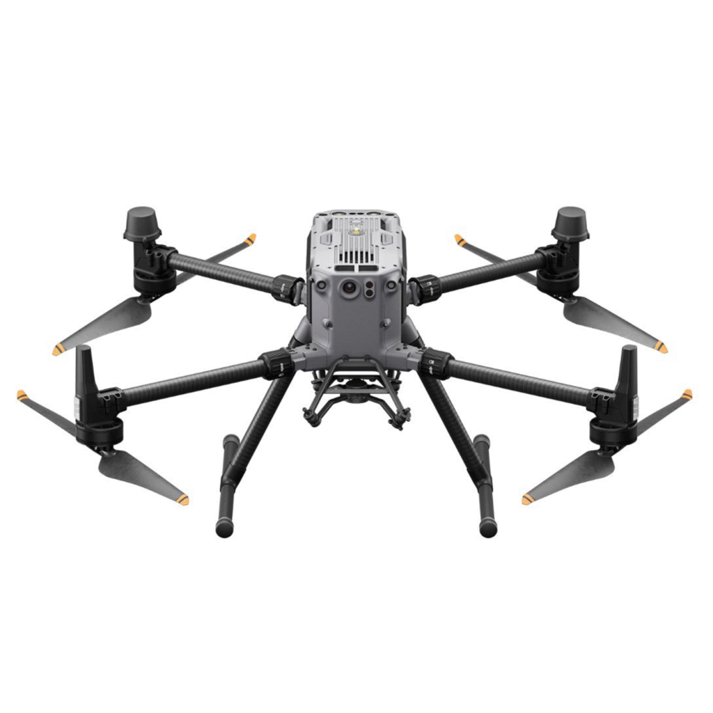
DJI Matrice 350 RTK
The DJI Matrice 350 RTK (M350) is a professional-grade unmanned aerial vehicle (UAV) designed for a wide range of industrial applications. This versatile and robust drone combines advanced flight capabilities with high-quality imaging systems, making it suitable for various tasks including aerial inspections, mapping, and surveillance. The Matrice 350 features a modular design that allows for flexible payload configurations. It can be equipped with different cameras, sensors, or other specialized equipment based on specific project requirements. This adaptability makes it a reliable tool for professionals in industries such as construction, infrastructure inspection, agriculture, and public safety.
Features of DJI Matrice 350 RTK
- Introduction: The DJI Matrice 350 RTK (M350) is a professional-grade unmanned aerial vehicle (UAV) designed for diverse industrial applications, including aerial inspections, mapping, and surveillance, with robust flight capabilities and high-quality imaging systems.
- Modular Design & Payload Flexibility: Features a modular design allowing flexible payload configurations, supporting various cameras, sensors, or specialized equipment for construction, infrastructure, agriculture, and public safety industries.
- Enhanced Flight Safety: Equipped with 6-directional sensing and positioning, arm lock indicator, and night-vision FPV camera for safe operations even in low-light conditions and complex environments.
- Intelligent Operation: High-precision mapping and automated precision inspection streamline data collection and repetitive tasks for more efficient mission execution.
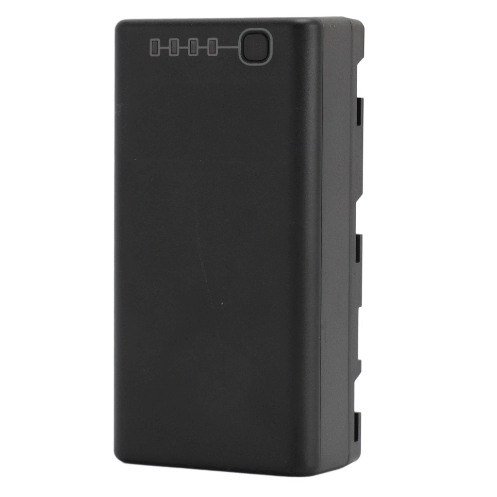
- Advanced Battery System: The TB65 battery offers up to 400 battery cycles with hot-swappable functionality, allowing extended operations without powering off, and provides up to 55 minutes of maximum flight time.
- SDK & API Ecosystem: Supports DJI SDK and API for integration with third-party payloads and software platforms, including Cloud API support for seamless cloud connectivity and application development.
- Durability in Harsh Environments: Built to withstand extreme weather conditions, maintaining stability and performance across diverse environments and demanding commercial settings.
- Precision RTK Module: RTK module ensures centimeter-level accuracy, essential for surveying, mapping, and construction tasks where precision is critical.
- High-End Payload Compatibility: Supports advanced payloads such as Zenmuse L1 (LiDAR + RGB) and Zenmuse L2, enabling real-time 3D data capture, topographic surveys, thermal imaging, and multispectral sensing for expanded applications.
- Extended Operation Time & Intelligent Flight Modes: Enables long-duration missions for large-scale mapping and agricultural monitoring, while automated flight modes simplify complex inspections and surveying operations.
- Robust Transmission System: Features a 4-antenna O3 Enterprise transmission system, delivering stable, secure real-time communication and video transmission critical for mission control and remote monitoring.
- Advanced GNSS System: Multi-GNSS support enhances navigational accuracy for precise mapping and reliable operations even in complex terrains or GPS-challenged environments.
- Modular Design for Easy Maintenance: Simplified maintenance and upgrade-friendly design ensure long-term adaptability and lower maintenance downtime as technology advances.
- Industry Applications: Ideal for industries such as surveying, construction, public safety, agriculture, and environmental monitoring, delivering cutting-edge performance for mission-critical professional operations.
4G Enhanced Transmission
The O3 video transmission signal can also work in tandem with 4G networks.* In cases where the O3 video transmission signal is interfered with, the Matrice 350 RTK can still maintain stable video transmission via 4G network, effortlessly handling signal obstructions in complex urban structures and environments.
* To use 4G Enhanced Transmission, the aircraft must be equipped with the Matrice 350 RTK 4G Dongle Kit (sold separately), and the remote controller must be equipped with the DJI Cellular Dongle (sold separately) or connected to the internet via Wi-Fi. This service is not available in some countries and regions. Please consult your local dealer for details.
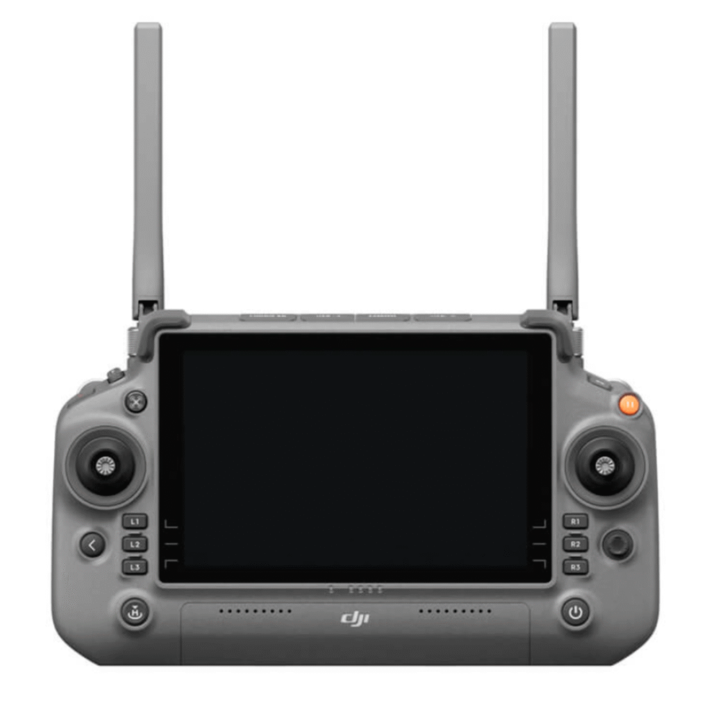
Built Ready for Harsh Environments
IP54 rated, [2] DJI RC Plus is dustproof and waterproof to operate reliably in bad weather. The operating temperature is -20° to 50° C (-4° to 122° F), supporting around-the-clock operation even in severely hot or cold environments.
Smooth and Efficient Control
There are several buttons and dials on the front, back, and top of the remote controller for fast operation. Button functions can be customized to fit users’ habits and deliver an intuitive and flexible experience.
Powerful Payloads
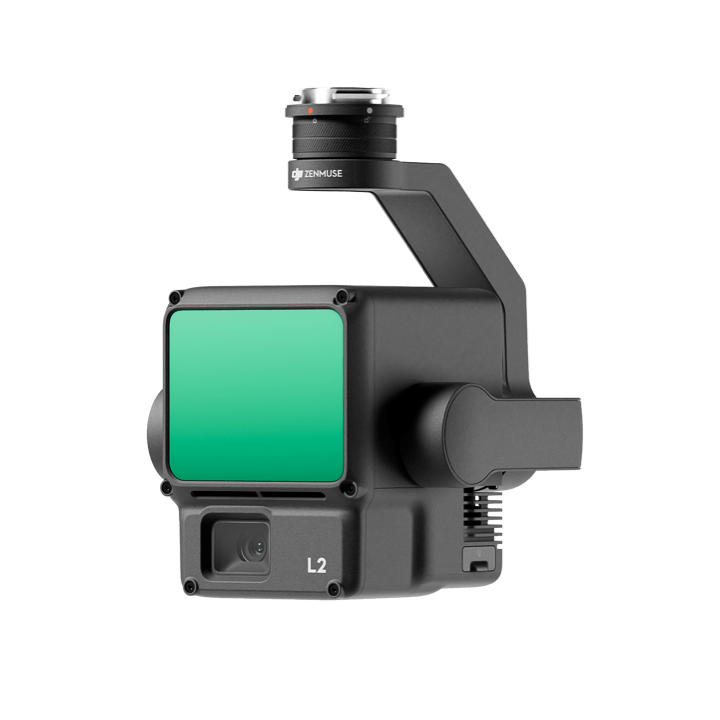
ZENMUSE L2
Intelligent Operation
High-Precision Mapping
Matrice 350 RTK supports Waypoint, Mapping, Oblique, and Linear Flight missions. You can use Terrain Follow [12] or Smart Oblique [13] for efficient data collection. Together with DJI Terra, you can quickly obtain HD 2D and 3D digital results, enabling high-precision and high-efficiency mapping operation.
Air-to-Ground Coordination
With functions like the high-precision PinPoint and cloud-based real-time mapping, [14] the Matrice 350 RTK can link the air, ground, and cloud together. After the aircraft completes image collection, DJI FlightHub 2 can quickly model the operation site and transmit command information to the aircraft and ground operators. Both the remote controller and FlightHub 2 support point, line, surface drawing, and real-time uploading, and can cooperate with the aircraft to livestream the real-time operation view, breaking through communication barriers for air-to-ground collaborative operation.
Automated Precision Inspection
Through Live Mission Recording, the Matrice 350 RTK can generate and store flight route files that can be used at any time to realize automated operation and make repetitive inspection no longer time-consuming or effort-consuming. When using AI Spot-Check, [15] the Matrice 350 RTK supports automatic framing and manual adjustment of subjects to improve the accuracy of repeated shooting and the quality of inspection operation.
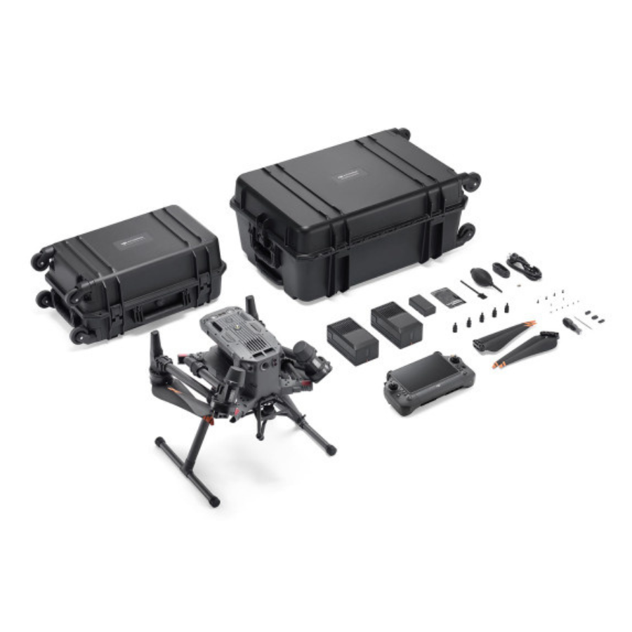
Matrice 350 RTK × 1
DJI RC Plus × 1
TB65 Intelligent Flight Battery × 2
WB37 Intelligent Battery × 1
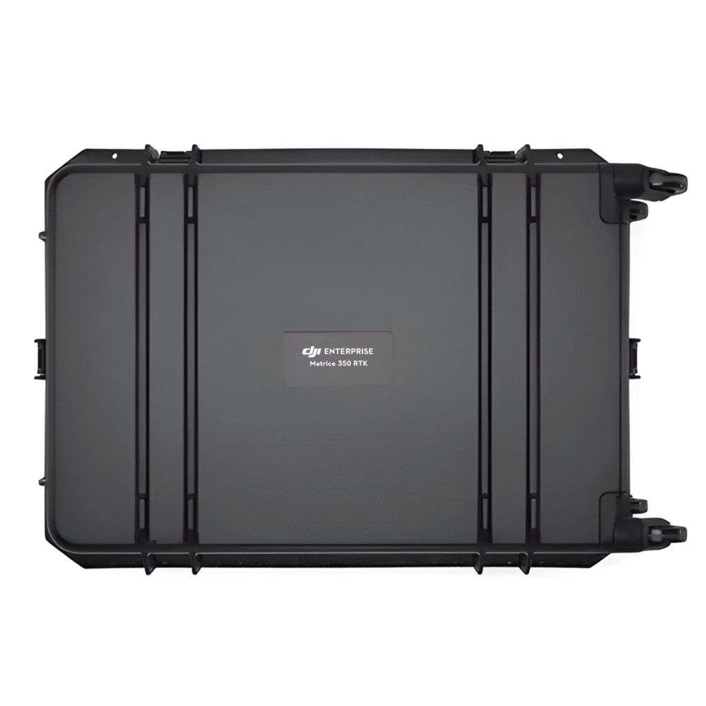
Carrying case × 1
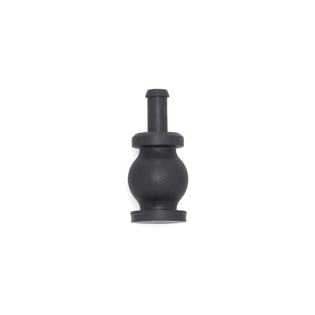
Spare Gimbal Damper x4
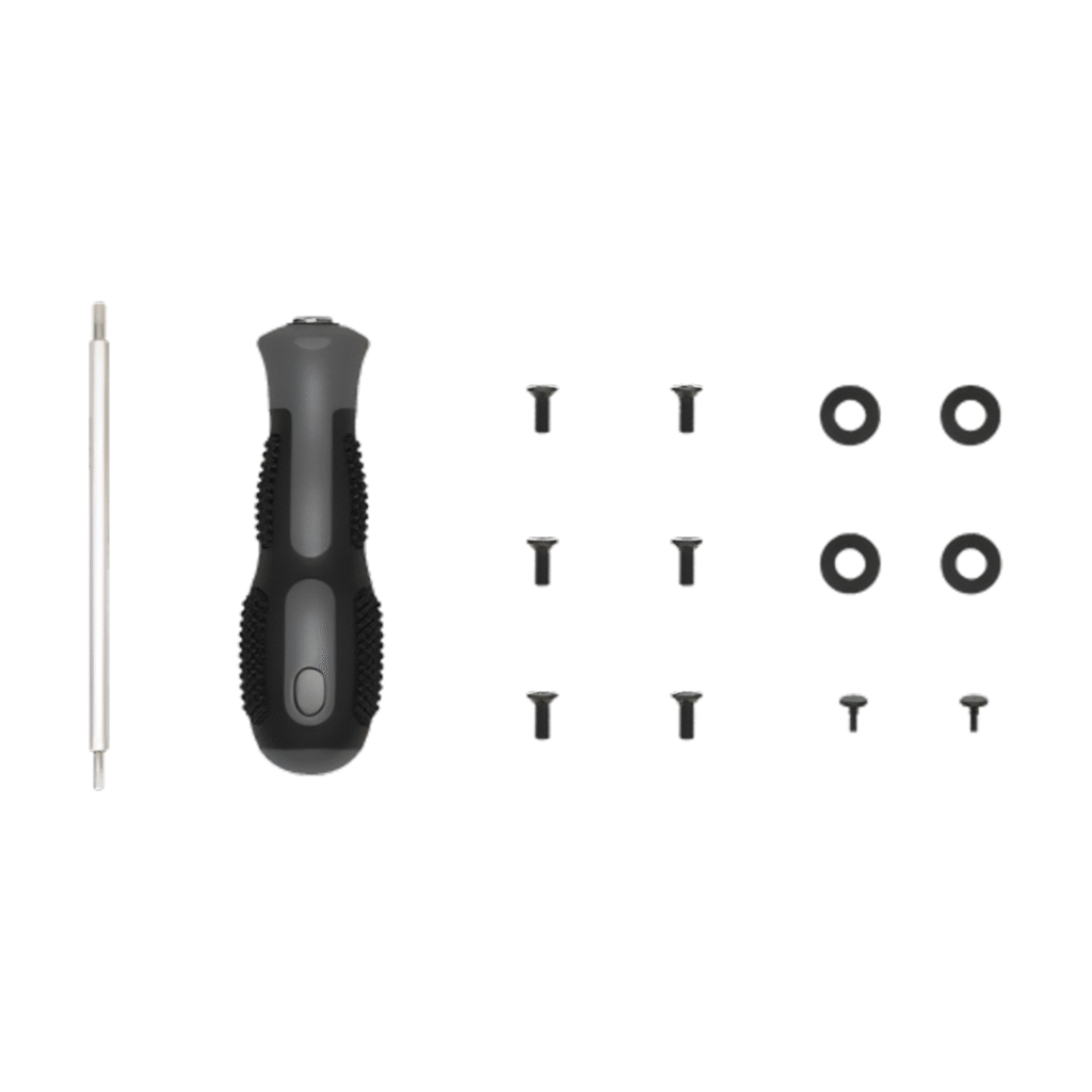
Screws and Tools
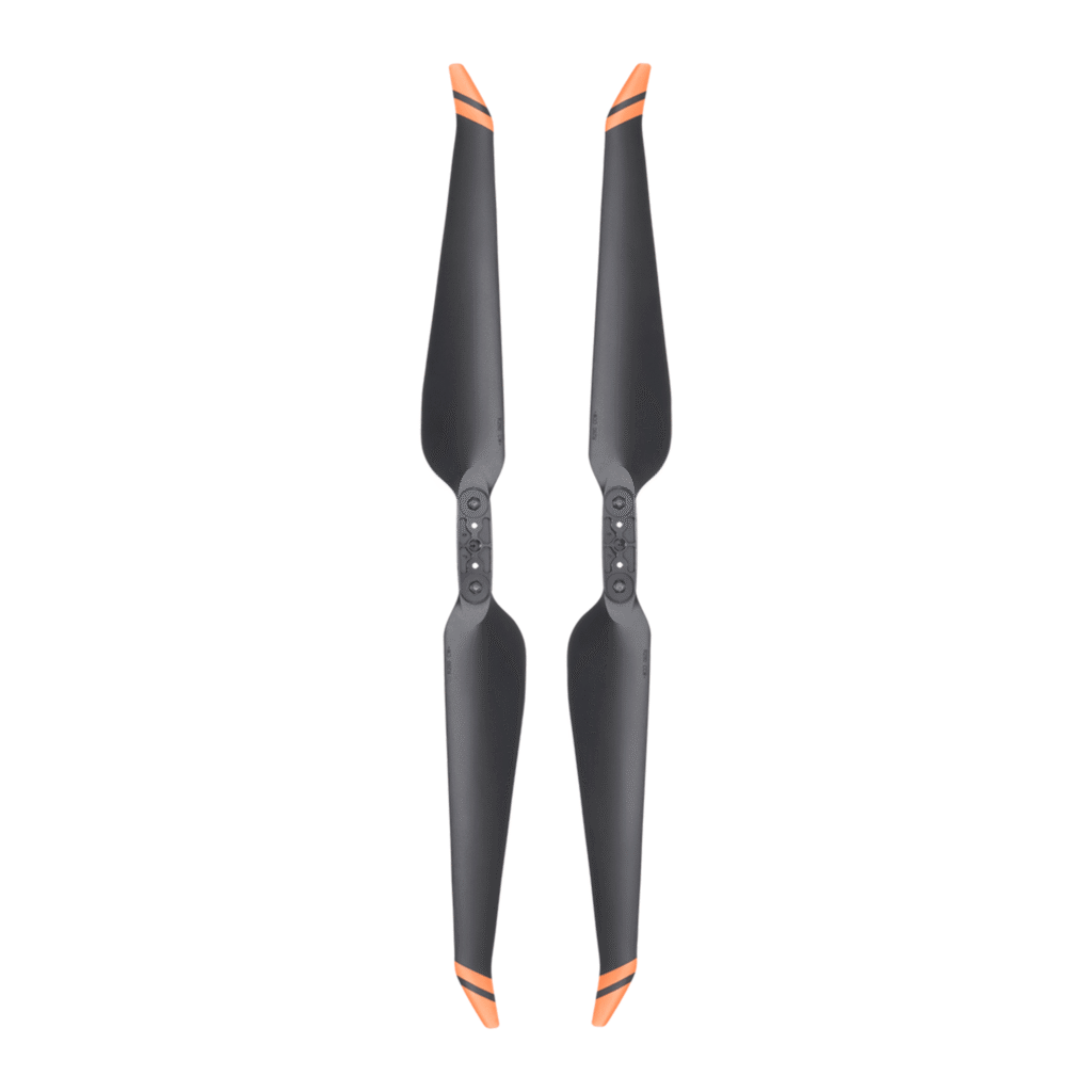
Matrice 350 RTK 2110s Propellers (Pair)
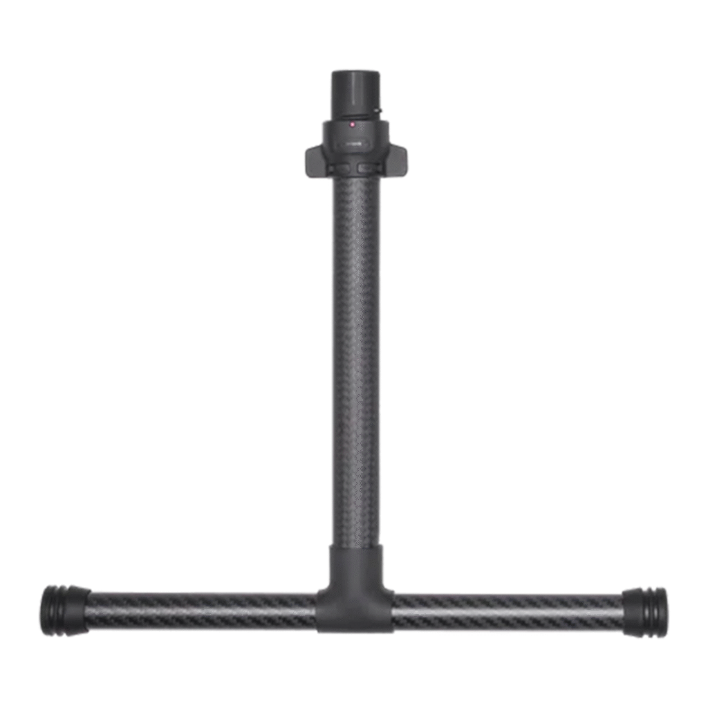
Matrice 350 RTK Landing Gear
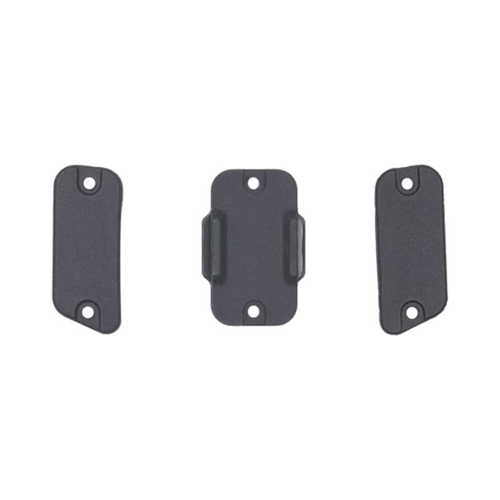
Rubber Port Cover (Set)
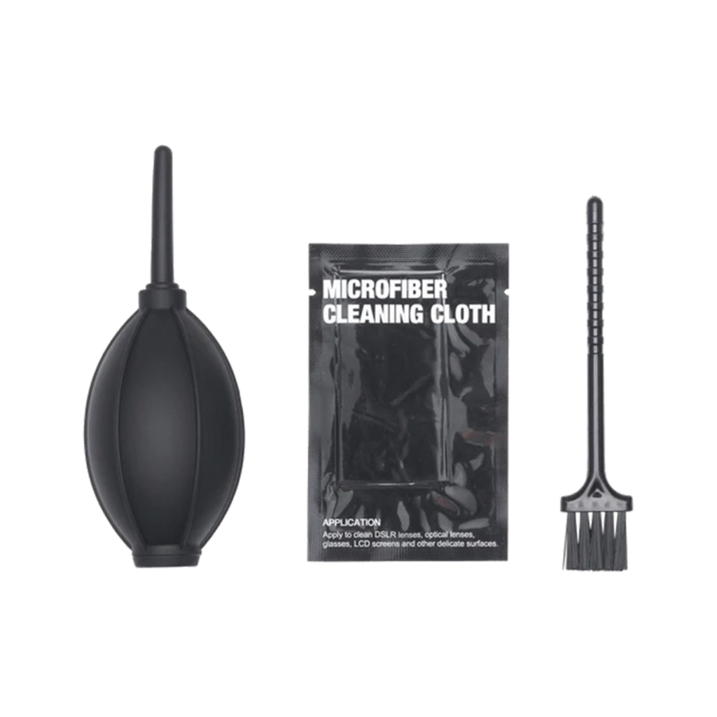
Cleaning Tools
Specifications
General
📦 General Specifications
| Feature | Specification |
|---|---|
| Takeoff Weight | Approx. 6.47–9.13 kg (depending on payload) |
| Dimensions (Folded, no props) | 430 × 420 × 430 mm |
| Dimensions (Unfolded, with props) | 810 × 670 × 430 mm |
| Ingress Protection | IP55 (aircraft), IP54 (RC) |
| GNSS | GPS + GLONASS + BeiDou + Galileo |
| RTK Support | Dual-antenna RTK, NTRIP & D-RTK 2 |
✈️ Flight Performance
| Feature | Specification |
|---|---|
| Max Ascent Speed | 6 m/s |
| Max Descent Speed | 5 m/s |
| Max Horizontal Speed | 23 m/s |
| Max Flight Time | Up to 55 minutes (no payload) |
| Max Payload Capacity | 2.7 kg |
| Max Wind Resistance | 12 m/s |
| Max Service Ceiling | 7000 m (with 2110s props) |
🌡️ Operating Conditions
| Feature | Specification |
|---|---|
| Operating Temperature | -20°C to 50°C |
| Storage Temperature | -20°C to 40°C |
📸 Camera & Imaging (Compatible Payloads)
| Payload | Details |
|---|---|
| Zenmuse H20 Series | Multi-sensor: Zoom, Wide, Laser Rangefinder |
| Zenmuse P1 | Full-frame 45 MP photogrammetry |
| Zenmuse L1 | LiDAR + RGB camera |
| Third-Party Payloads | Supported via DJI SDK |
📷 Photography & Video
| Feature | Specification |
|---|---|
| Photo/Video Specs | Depends on installed payload (P1, H20T, L1, etc.) |
| Video Transmission | 1080p real-time via OcuSync Enterprise |
| Storage | microSD up to 512 GB (aircraft & payload) |
🌀 Stabilization & Sensing
| Feature | Specification |
|---|---|
| Gimbal | 3-axis mechanical (payload-dependent) |
| Obstacle Sensing | 6-directional sensing (vision + infrared) |
📡 Connectivity
| Feature | Specification |
|---|---|
| Transmission System | OcuSync 3 Enterprise |
| Remote Controller | DJI RC Plus (7″ screen, IP54-rated) |
| Transmission Range | Up to 20 km (FCC) |
🔋 Battery & Charging
| Feature | Specification |
|---|---|
| Battery Model | TB65 Intelligent Flight Battery |
| Battery Capacity | 5880 mAh, 263 Wh |
| Battery Life | Up to 400 cycles |
| Charging Station | BS65 Smart Battery Station |
| Charging Time | ~60 minutes per pair |
FAQs
1. What is the DJI M350 RTK used for?
The DJI M350 RTK is a next-generation industrial drone built for mapping, surveying, inspection, and public safety operations. With high-precision RTK positioning, extended flight time, and payload flexibility, it’s ideal for demanding professional environments.
2. What’s new or improved in the M350 compared to the M300 RTK?
The M350 RTK builds on the M300’s success by adding improved weather resistance (IP55), enhanced flight stability, a new RC Plus controller with a larger screen, and longer battery life with hot-swappable TB65 batteries.
3. How long can the DJI M350 RTK fly?
With the TB65 battery, the M350 offers up to 55 minutes of flight time, depending on payload and weather conditions—ideal for long-duration inspection or mapping missions.
4. What payloads and cameras can the M350 carry?
The M350 supports a wide range of Zenmuse payloads including H20T, H20N, P1, L1, and third-party payloads via DJI’s Payload SDK. This makes it incredibly versatile across industries.
5. Is the M350 weather-resistant?
Yes. It is IP55-rated, meaning it can operate in dusty and rainy conditions. It’s built to withstand harsh field environments, perfect for utilities, emergency services, and construction sites.
6. What controller does the DJI M350 come with?
It comes with the DJI RC Plus, a rugged 7-inch touchscreen remote that supports dual control, 6-hour battery life, and weather resistance—perfect for field operations.
7. Can the M350 RTK perform high-precision mapping?
Absolutely. With RTK support, waypoint automation, and compatibility with mapping payloads like the Zenmuse P1 or L1, the M350 delivers centimeter-level accuracy for geospatial data collection.
8. Does the M350 support dual-pilot operation?
Yes, it does. You can operate with two pilots simultaneously, handing over control mid-flight—crucial for complex or extended operations in restricted areas.
9. How far can the M350 fly from the operator?
Thanks to OcuSync 3 Enterprise, the M350 can transmit video and data up to 20 km (FCC) with strong signal stability across challenging terrains.
10. Is the DJI M350 RTK future-ready?
Yes. It supports DJI SDKs, allowing developers to build custom applications, payloads, and integrations, making it a future-proof choice for growing enterprise needs.

Reviews
There are no reviews yet.