
-
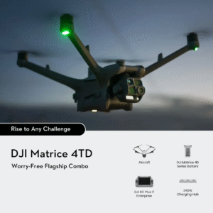
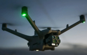
DJI Matrice 4TD Combo
Original price was: ₹1,339,999.00.₹1,249,999.00Current price is: ₹1,249,999.00. -
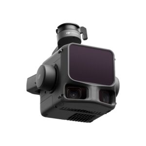
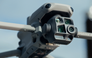
DJI Zenmuse L3
Original price was: ₹1,549,999.00.₹1,449,999.00Current price is: ₹1,449,999.00. -
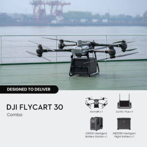
DJI FlyCart 30 Combo
Original price was: ₹4,099,999.00.₹3,499,999.00Current price is: ₹3,499,999.00. -
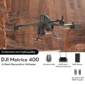
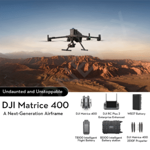
DJI Matrice 400 Standard
Original price was: ₹1,399,999.00.₹1,099,999.00Current price is: ₹1,099,999.00. -
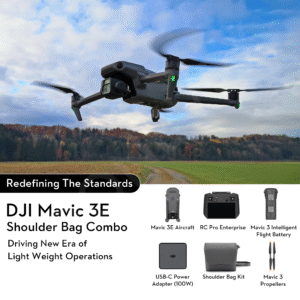
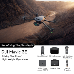
DJI Mavic 3 Enterprise With Shoulder Bag Combo
Original price was: ₹525,000.00.₹439,999.00Current price is: ₹439,999.00. -
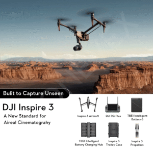
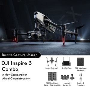
DJI Inspire 3
Original price was: ₹1,899,999.00.₹1,499,999.00Current price is: ₹1,499,999.00. -
DJI Inspire 3 Combo with 4 Lenses Included
Original price was: ₹2,599,999.00.₹1,899,999.00Current price is: ₹1,899,999.00. -
DJI FlyCart 30
Original price was: ₹2,999,999.00.₹2,499,999.00Current price is: ₹2,499,999.00. -
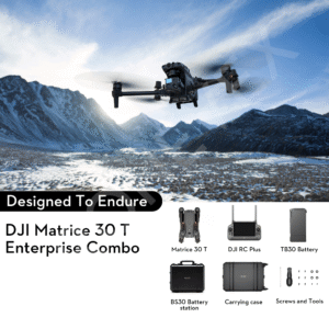
DJI Matrice M30T Enterprise Combo Pack
Original price was: ₹989,000.00.₹820,000.00Current price is: ₹820,000.00. -
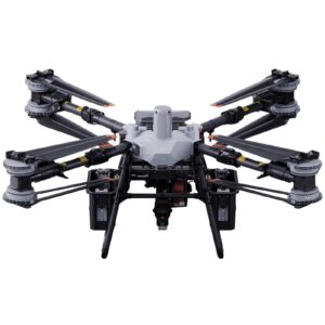
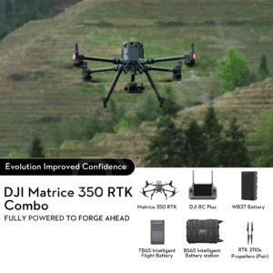
DJI Matrice 350 RTK (M350) Basic Combo Drone
Original price was: ₹1,100,000.00.₹959,999.00Current price is: ₹959,999.00. -
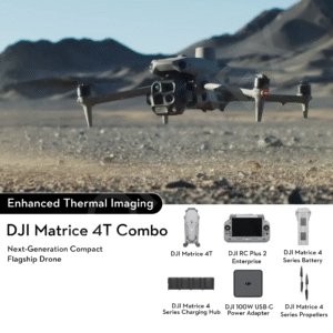
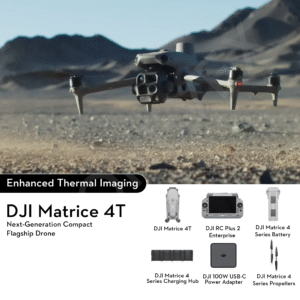
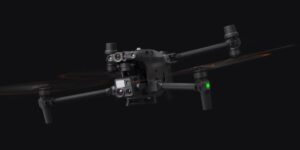
DJI Matrice 4T Combo
Original price was: ₹719,999.00.₹649,999.00Current price is: ₹649,999.00. -
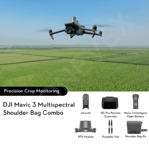
DJI Mavic 3 Multispectral for Precision Agriculture Drone With Shoulder Bag Kit
Original price was: ₹660,000.00.₹625,000.00Current price is: ₹625,000.00. -
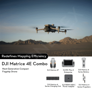
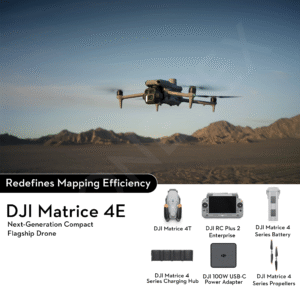
DJI Matrice 4E Combo
Original price was: ₹599,999.00.₹549,999.00Current price is: ₹549,999.00. -
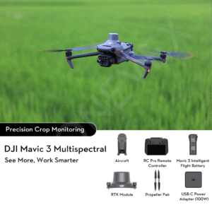
DJI Mavic 3 Multispectral for Precision Agriculture Drone
Original price was: ₹660,000.00.₹560,000.00Current price is: ₹560,000.00. -
DJI Matrice 400 Combo
Original price was: ₹1,699,999.00.₹1,399,999.00Current price is: ₹1,399,999.00. -
DJI Matrice 4T
Original price was: ₹689,999.00.₹609,999.00Current price is: ₹609,999.00. -
DJI Matrice 4E
Original price was: ₹579,999.00.₹499,999.00Current price is: ₹499,999.00. -
DJI Mavic 3 Enterprise Basic Combo
Original price was: ₹420,000.00.₹380,000.00Current price is: ₹380,000.00.

DJI Matrice 4TD Combo: Ultimate Enterprise Drone for Inspection & Safety
The Ultimate Professional Drone for Critical Missions: DJI Matrice 4TD Combo Enterprise drone operations are evolving rapidly, with industries demanding
DJI Matrice 4T – High-Speed, Long-Endurance Enterprise Drone Solution
DJI Matrice 4T – Precision Multi-Sensor Drone for Industrial Missions The DJI Matrice 4T Combo Advanced Enterprise Drone marks a
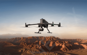
DJI Matrice 400: The Ultimate Enterprise Drone for Professional Operations
DJI Matrice 400: Redefining Precision, Power, and Reliability in Enterprise Drones The DJI Matrice 400 is setting a new benchmark
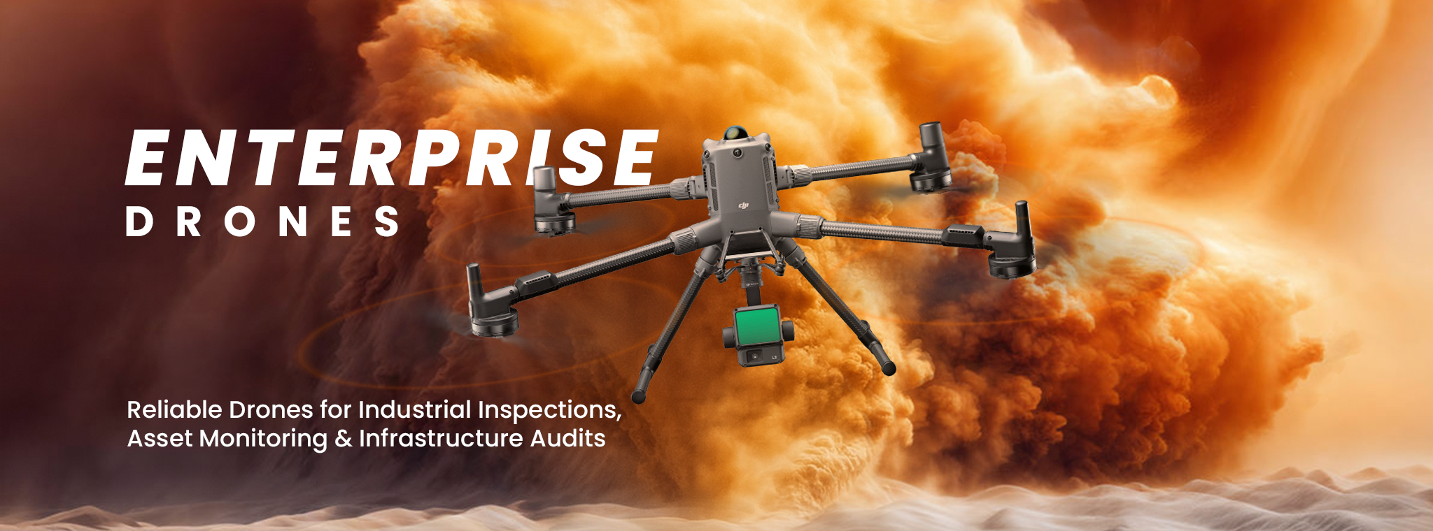
Choosing the Perfect Enterprise Drone: A Business Buyer’s Guide
How to Select the Ideal Drone for Your Enterprise Needs In recent years, enterprise drones have rapidly transformed from niche
5 breakthrough Drone Applications Transforming Industries in 2025
The rapid evolution of drone technology has led to unprecedented applications across various industries, particularly in India. From agriculture to