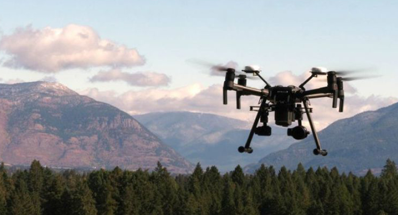
Precision Aerial Technologies for Environmental and Infrastructure Analysis
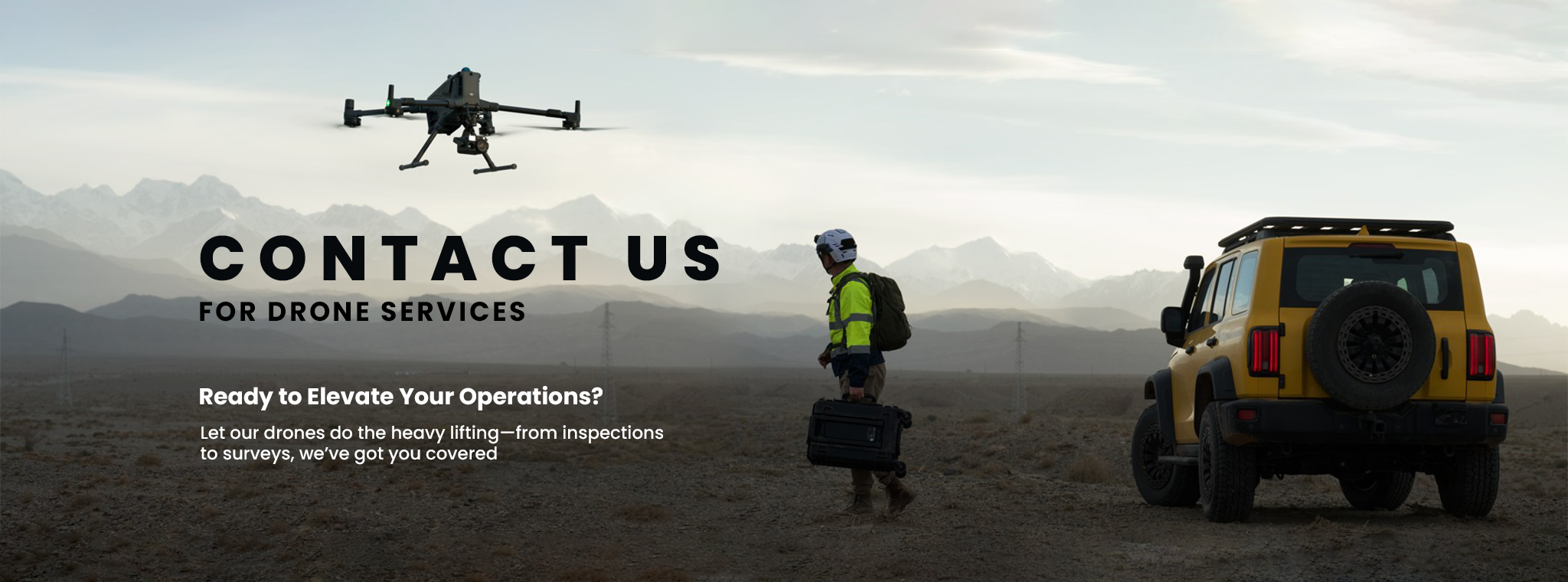
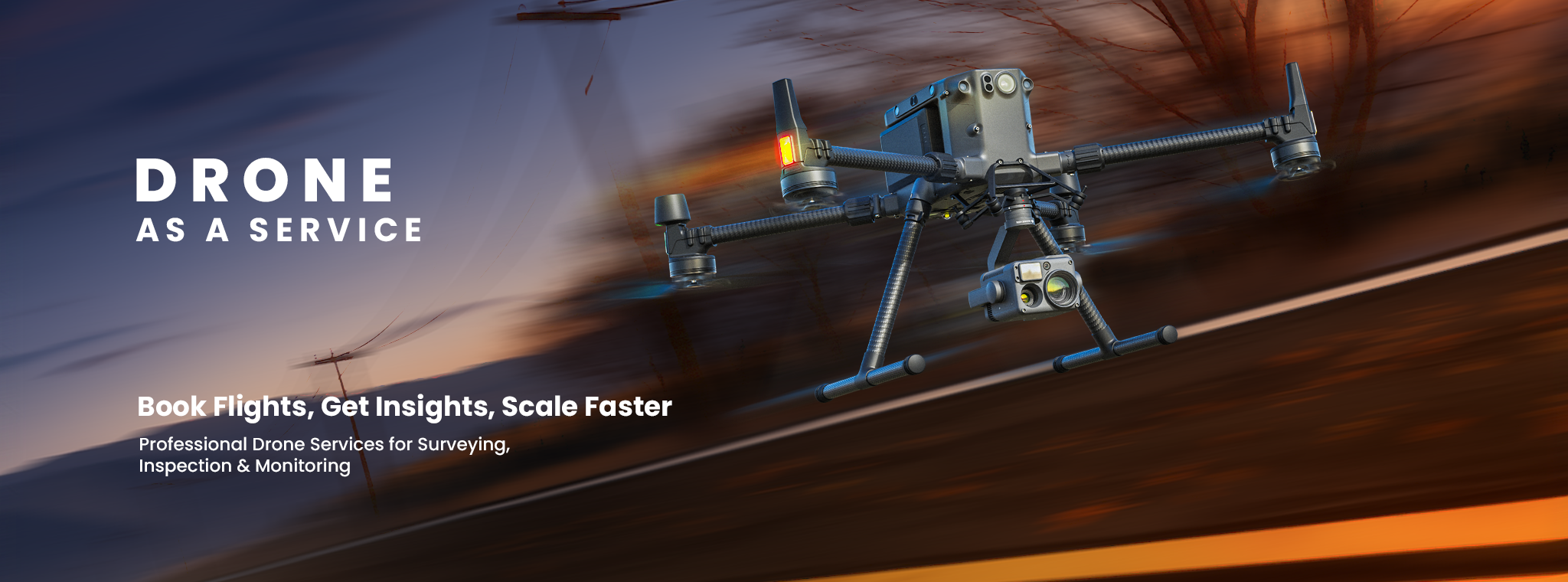
Drone as a Service (DaaS) Aerial Intelligence, On Demand powered by Dronevex
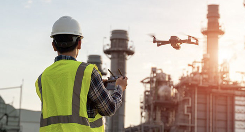
With deep expertise and a proven track record across diverse industries, Dronevex understands the unique challenges you face. Our tailored drone services are designed to deliver actionable insights and measurable results—exceeding expectations at every stage. Leveraging advanced UAV technology, AI-powered analytics, and experienced pilots, we help businesses streamline inspections, improve operational efficiency, enhance safety, and make informed decisions with confidence. Whether it’s surveying, mapping, infrastructure inspections, agriculture, or public safety, Dronevex delivers reliable, high-precision aerial solutions that drive innovation and long-term success.
Data-Driven Monitoring for Critical Infrastructure, Environmental Systems, and Industrial Assets
Dronevex delivers professional drone solutions for surveying, mapping, inspection, and aerial data collection across India. We help businesses and government organizations capture accurate, reliable data that improves planning, simplifies operations, and supports better decision-making.
Our services are designed to save time, reduce costs, and improve safety by replacing traditional methods with fast, efficient drone technology. Whether it’s monitoring infrastructure, surveying land, inspecting critical assets, or tracking project progress, we provide the insights you need to make informed decisions with confidence.
Backed by advanced UAV technology and an experienced team, every project is carried out with precision, safety, and attention to detail. We focus on delivering high-quality results that meet the unique needs of each industry and project.
At Dronevex, we believe drone technology is more than just capturing images—it’s about turning aerial data into practical insights that help businesses work smarter, faster, and more efficiently. As your trusted aerial solutions partner, we’re committed to delivering dependable drone services that create real value from every flight.
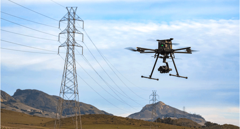
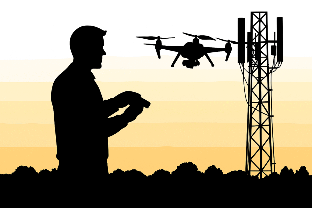
Dronevex offers efficient drone-based powerline inspections that cut costs and save time by up to 50%. Our advanced UAV technology ensures accurate fault detection while minimizing manual labor and improving safety. It’s a smarter, faster way to maintain critical infrastructure.
Powerline Monitoring
Bridge Inspection
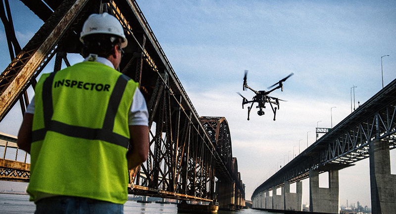
Conduct safer, more precise bridge inspections with Dronevex’s aerial assessment solutions. Our drones capture high-resolution imagery to identify cracks, corrosion, and structural weaknesses—delivering detailed insights without the need for risky manual inspections.
Solar Plant Inspection
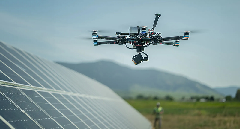
Maximize solar efficiency with Dronevex’s aerial inspections. Our drones quickly detect faulty panels, enabling timely replacements within warranty periods and reducing maintenance costs—ensuring optimal energy output and system longevity.
Pipeline Inspection
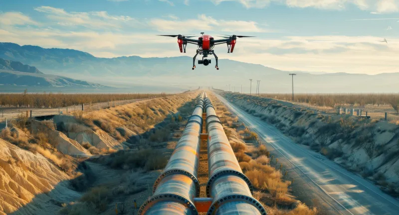
Ensure pipeline integrity with Dronevex’s comprehensive aerial monitoring. Our drones provide fast, accurate assessments—detecting erosion, exposed pipes, and vegetation overgrowth—helping you maintain safety, compliance, and operational efficiency.
Respond faster and smarter with Dronevex’s emergency response drone solutions. Equipped with real-time mapping and high-resolution imaging, our drones provide rapid situational awareness—helping identify hotspots, assess property damage, and support informed decision-making during critical incidents.
Disaster Management
Agricultural Survey
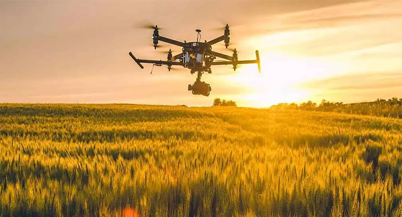
Revolutionize your farming operations with Dronevex’s advanced drone surveys. From soil analysis and crop health monitoring to efficient irrigation planning, our aerial solutions boost productivity, reduce manual labor, and support smarter, data-driven agriculture.
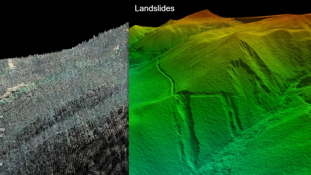
River Mapping
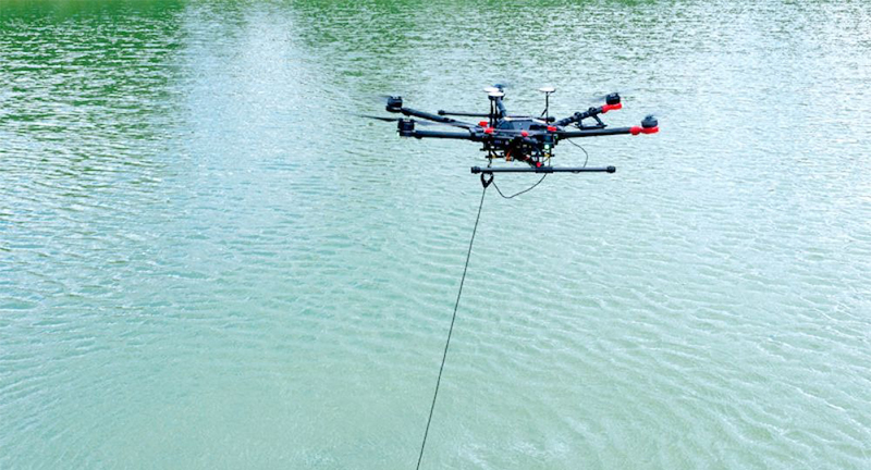
Monitor rivers efficiently with Dronevex’s advanced drone solutions. Our drones gather real-time data and integrate live sensor inputs, delivering precise environmental and geographic insights for better waterway management and conservation.
Railway Services
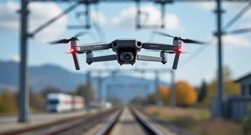
Enhance railway safety with Dronevex’s precision drone inspections. Our drone mapping technology enables detailed assessments of infrastructure—including bridges and rooftops—in hard-to-reach areas, ensuring thorough inspections without compromising safety.
Optimize industrial maintenance with Dronevex’s drone inspection services. Our technology enables fast, accurate visual inspections that minimize downtime and deliver reliable data to support timely maintenance decisions across industries.
Industrial Inspection
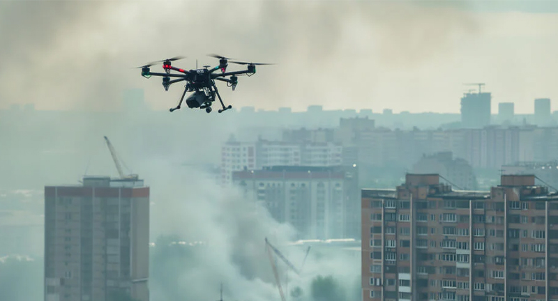
Smart City Survey
Accelerate smart city development with Dronevex’s efficient drone mapping solutions. Quickly survey long corridors and urban landscapes to speed up data collection and support informed decision-making for smarter urban planning.
Road Inspection
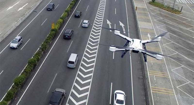
Create precise topographic maps with Dronevex’s drone surveys. Our technology generates detailed road surveys complete with elevation contours, providing accurate data essential for effective planning and ongoing monitoring.
Mining Inspection
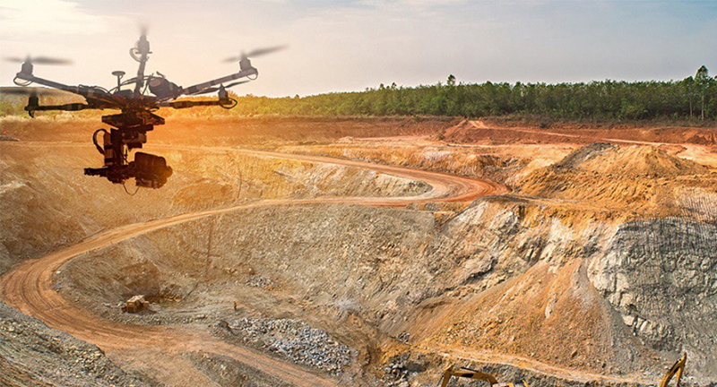
Boost mine site management with Dronevex’s UAV solutions. Our drones deliver precise quarry mapping, terrain analysis, and comprehensive site data—helping you improve operational efficiency and make informed decisions.
Protect and preserve forests with Dronevex’s innovative drone solutions. Easily access remote areas and monitor wildlife using high-quality drone imagery—providing cost-effective, comprehensive data to support effective conservation efforts.
Forest & Wildlife Survey
Dronevex – Your Trusted Partner for Precision Aerial Solutions
At Dronevex, we believe that better decisions begin with better data. As drone technology continues to transform industries around the world, organizations are looking for faster, safer, and more accurate ways to collect information. Dronevex was built with that purpose in mind—to provide businesses, government agencies, and infrastructure developers with reliable aerial solutions that simplify complex operations and deliver measurable results.
We specialize in professional drone services for surveying, mapping, inspections, monitoring, and aerial data collection. By combining advanced UAV technology with industry expertise, we help organizations gather accurate, high-quality data while reducing the time, cost, and risks associated with traditional methods.
Whether you’re planning a large infrastructure project, inspecting industrial assets, managing agricultural land, or monitoring environmental changes, Dronevex provides the aerial intelligence you need to make informed decisions with confidence.
Delivering More Than Drone Services
At its core, Dronevex is more than a drone service provider. We are a technology partner focused on solving real-world challenges through innovative aerial solutions. Every project we undertake is designed around one simple goal—helping our clients work smarter by providing reliable data that supports better planning, improved efficiency, and informed decision-making.
Traditional surveying and inspection methods often require significant manpower, expensive equipment, and extended project timelines. They can also expose workers to unnecessary risks, especially when inspecting difficult-to-access locations such as transmission towers, bridges, rooftops, mines, or industrial facilities.
Drone technology changes this completely.
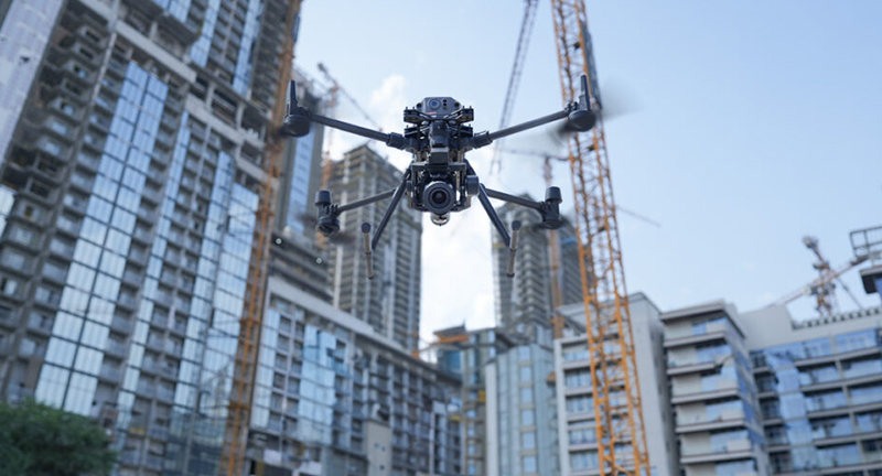
By deploying advanced drones equipped with high-resolution cameras, RTK positioning systems, thermal sensors, and intelligent imaging capabilities, Dronevex captures precise information quickly and safely. The result is faster project execution, reduced operational costs, and greater confidence in every decision.
Our Expertise
Dronevex offers a comprehensive range of drone-based services designed to support multiple industries and project requirements.
Drone Surveying
Accurate land surveys are the foundation of successful infrastructure and development projects. Our drone surveying solutions provide detailed topographic information, contour mapping, elevation models, and geospatial data that help engineers, architects, and planners make informed decisions from the very beginning of a project.
Compared to conventional surveying techniques, drone surveys significantly reduce field time while maintaining exceptional accuracy.
Drone Mapping
Our aerial mapping services create detailed orthomosaic maps, 2D imagery, 3D models, and digital terrain models for projects of all sizes. These maps help organizations visualize project sites, monitor development, manage land resources, and improve planning processes.
High-resolution mapping provides a clear understanding of existing site conditions while supporting better project execution.
Infrastructure Inspection
Regular inspections are essential for maintaining critical infrastructure, but they often involve safety risks and operational downtime.
Dronevex enables safe, efficient inspections for:
Roads and highways
Bridges
Buildings
Industrial facilities
Solar power plants
Wind turbines
Power transmission lines
Communication towers
Pipelines
Our drones capture detailed visual and thermal data that helps identify defects, monitor structural conditions, and detect potential issues before they become costly failures.
Construction Monitoring
Construction projects require continuous monitoring to ensure schedules, budgets, and quality standards remain on track.
Our drone monitoring services provide regular aerial progress reports that allow project managers to compare work completed against project plans, identify delays early, and improve communication with stakeholders.
With accurate aerial documentation available throughout the project lifecycle, decision-making becomes faster and more transparent.
Agricultural Solutions
Modern agriculture depends on timely information.
Dronevex helps farmers, agribusinesses, and agricultural consultants monitor crop health, assess field conditions, evaluate irrigation performance, and identify potential issues before they impact productivity.
Using drone imagery and advanced analytics, agricultural operations become more efficient while reducing unnecessary resource usage.
Environmental Monitoring
Understanding environmental changes requires accurate and repeatable data collection.
Our drone solutions support:
Forest monitoring
Water body assessments
Wetland analysis
Coastal monitoring
Disaster assessment
Environmental impact studies
By capturing consistent aerial imagery over time, organizations gain valuable insights into changing environmental conditions.
Technology That Makes a Difference
The quality of aerial data depends on both the equipment and the expertise behind it.
Dronevex operates modern UAV platforms equipped with advanced imaging systems capable of delivering highly detailed and accurate results. Depending on project requirements, our solutions may include:
High-resolution RGB imaging
RTK-enabled positioning
Thermal imaging
3D photogrammetry
Orthomosaic generation
Digital elevation models
Point cloud processing
Every mission is carefully planned to ensure complete coverage, consistent image quality, and reliable outputs.
Our experienced team manages every stage of the workflow—from flight planning and data acquisition to processing, quality checks, and final deliverables.
Industries We Serve
Drone technology has applications across a wide range of industries, and Dronevex works with organizations of all sizes to deliver practical aerial solutions.
Our clients include professionals from:
Infrastructure development
Construction
Government departments
Smart city projects
Energy and utilities
Telecommunications
Mining
Agriculture
Real estate
Environmental consulting
Industrial manufacturing
Transportation
Every industry has unique challenges, and we tailor our services to meet specific operational requirements rather than offering one-size-fits-all solutions.
Why Organizations Choose Dronevex
Choosing a drone service provider is about more than equipment. It is about trust, consistency, and delivering meaningful results.
Organizations choose Dronevex because we focus on quality, reliability, and long-term partnerships.
Accuracy You Can Trust
Our workflows are designed to produce dependable aerial data that supports engineering, planning, inspections, and analysis.
Faster Project Execution
Drone-based data collection dramatically reduces the time required for surveys and inspections, helping projects move forward without unnecessary delays.
Improved Safety
Many inspections involve hazardous or difficult-to-access environments. Using drones minimizes the need for workers to operate in dangerous locations while maintaining excellent data quality.
Cost-Effective Operations
Drone technology reduces labour requirements, equipment costs, and project downtime, making it an efficient alternative to conventional methods.
Experienced Professionals
Behind every successful mission is a team that understands both drone technology and the industries it serves. Our experienced professionals ensure every project is executed with precision and care.
Our Commitment to Quality
Every project begins with understanding the client’s objectives.
We carefully assess project requirements, develop an appropriate flight plan, follow all applicable regulations, and execute missions using industry best practices.
After data collection, our team processes and validates the information before delivering clear, accurate outputs that clients can confidently use for planning, reporting, and decision-making.
Quality is not just part of our process—it defines how we work.
Supporting Better Decisions
Data only becomes valuable when it helps people make better decisions.
At Dronevex, our goal is to provide information that is clear, actionable, and relevant to each client’s objectives. Whether the data is being used for infrastructure planning, asset management, environmental studies, or construction monitoring, we focus on delivering insights that create measurable value.
Our services help organizations identify issues sooner, improve operational efficiency, reduce project risks, and plan with greater confidence.
Building Long-Term Partnerships
We believe successful projects are built on collaboration.
Rather than simply completing a flight and delivering images, we work closely with our clients to understand their goals, recommend the right aerial solutions, and provide ongoing support throughout the project lifecycle.
Many of our clients continue working with us because they know they can depend on consistent quality, responsive service, and practical expertise.
Looking Ahead
Drone technology continues to evolve, creating new opportunities for industries to improve productivity and make smarter decisions.
Dronevex remains committed to staying at the forefront of these advancements by adopting modern UAV platforms, improving data processing workflows, and delivering innovative solutions that meet changing business needs.
As industries embrace digital transformation, aerial intelligence will play an increasingly important role in planning, monitoring, inspection, and asset management.
We are proud to help organizations unlock the full potential of drone technology while ensuring every mission is carried out safely, efficiently, and professionally.
Partner with Dronevex
Whether you require accurate land surveys, detailed aerial mapping, infrastructure inspections, construction monitoring, agricultural insights, or customized drone solutions, Dronevex is ready to support your project.
Our mission is simple: to provide dependable drone services that combine advanced technology with practical expertise, helping organizations save time, reduce costs, improve safety, and make informed decisions with confidence.
At Dronevex, every flight is driven by precision, every project is guided by quality, and every partnership is built on trust.